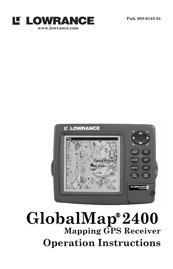
Cover
Inside Cover
Table of Contents
i. Table of Contents
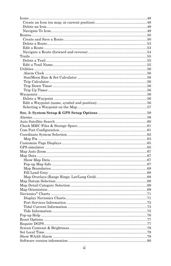
ii. Table of Contents
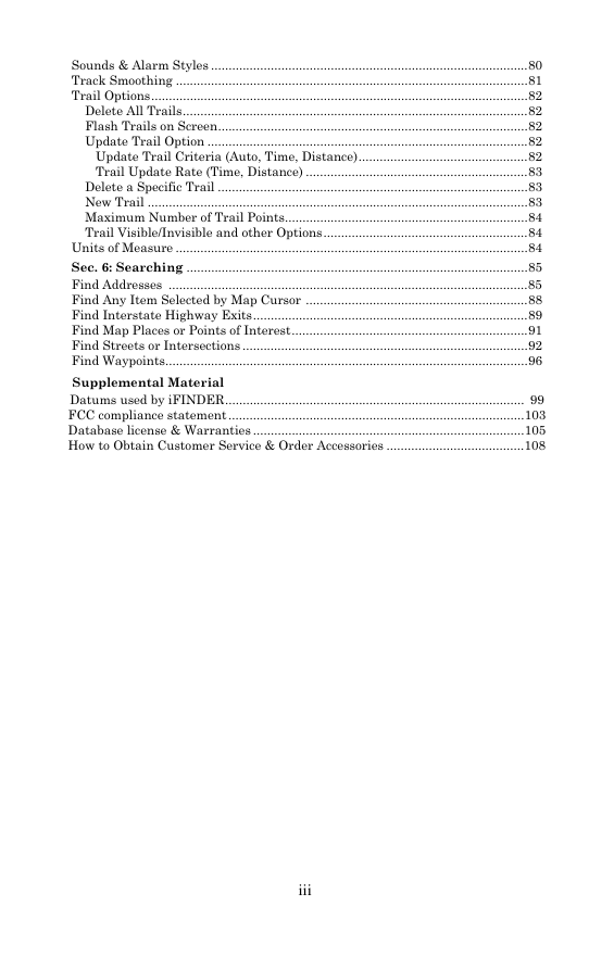
iii. Table of Contents
iv. Warning
Sec. 1: Read Me First!
2. Capabilities & Specifications
3. How GlobalMap® 2400 Works
5. Introduction to GPS and WAAS
7. How to Use this Manual: text conventions
Sec. 2: Installation & Accessories
9. GPS Antenna/Receiver Module
9. Mounting the Unit: Bracket, In-Dash or Portable
10. Bracket Installation
13. Power Connections
14. NMEA/DGPS Cable Connections
16. MMC or SDC Memory Card Installation
17. Other Accessories
Sec. 3: Basic Operations
19. Keyboard
20. Power/lights on and off
20. Main Menu
22. Pages
22. Satellite Status Page
23. Navigation Page
26. Map Page
29. Quick Reference
30. Find Your Current Position
30. Moving Around the Map: Zoom & Cursor Arrow Keys
31. Selecting Any Map Item With the Cursor
31. Searching
33. Set a Waypoint
34. At Current Position
35. On Map (Cursor Position)
35. Navigate To Waypoint
36. Set Man Overboard (MOB) Waypoint
36. Navigate Back to MOB Waypoint
37. Navigate to Cursor Position on Map
38. Navigate to a Point of Interest
38. Creating and Saving a Trail
40. Displaying a Saved Trail
41. Navigating Trails
41. Visual Trailing
41. Navigate a Trail (forward)
43. Navigate a Back Trail (backtrack, or reverse)
44. Transfer Custom Maps & GPS Data Files
44. Loading Custom Maps
45. Save Data From Unit To MMC
45. Load Data From MMC to Unit
46. Cancel Navigation
Sec. 4: Advanced Operations
47. Find Distance From Current Position to Another Location
47. Find Distance From Point to Point
48. Icons
48. Creat an Icon (on map; at current position)
49. Delete an Icon
49. Navigate to Icon
50. Routes
50. Create and Save a Route
53. Delete a Route
53. Edit a Route
54. Navigate a Route (forward and reverse)
55. Trails
Delete a Trail
Edit a Trail Name
56. Utilities
56. Alarm Clock
56. Sun/Moon Rise & Set Calculator
56. Trip Calculator
56. Trip Down Timer
56. Trip Up Timer
56. Waypoints
56. Delete a Waypoint
56. Edit a Waypoint (name, symbol and position)
57. Selecting a Waypoint on the Map
Sec. 5: System Setup & GPS Setup Options
59. Alarms
60. Auto Satellite Search
61. Check MMC Files and Storage Space
61. Com Port Configuration
62. Coordinate System Selection
63. Map Fix
65. Customize Page Displays
65. GPS Simulator
67. Map Auto Zoom
67. Map Data
67. Show Map Data
67. Pop-up Map Info
68. Map Boundaries
68. Fill Land Gray
68. Map Overlays (Range Rings; Lat/Long Grid)
68. Map Datum Selection
69. Map Detail Category Selection
69. Map Orientation
71. Navionics® Charts
71. Display Navionics® Charts
72. Port Service Information
73. Tidal Current Information
75. Tide Information
76. Pop-up Help
77. Reset Options
77. Require DGPS
78. Screen Contrast & Brightness
79. Set Local Time
79. Show WAAS Alarm
80. Software Version Information
80. Sounds & Alarm Styles
81. Track Smoothing
82. Trail Options
82. Delete All Trails
82. Flash Trails on Screen
82. Update Trail Option
82. Update Trail Criteria (Auto, Time, Distance)
83. Trail Update Rate (Time, Distance)
83. Delete a Specific Trail
83. New Trail
84. Maximum Number of Trail Points
84. Trail Visible/Invisible and other Options
84. Units of Measure
Sec. 6: Searching
85. Find Addresses
88. Find Any Item Selected by Map Cursor
89. Find Interstate Highway Exits
91. Find Map Places or Points of Interest
92. Find Streets or Intersections
96. Find Waypoints
Supplemental Material
99. Datums Used by GlobalMap® 2400
103. FCC Compliance Statement
105. Database License & Warranties
108. How to Obtain Customer Service & Order Accessories
Back



 2023年江西萍乡中考道德与法治真题及答案.doc
 2012年重庆南川中考生物真题及答案.doc
 2013年江西师范大学地理学综合及文艺理论基础考研真题.doc
 2020年四川甘孜小升初语文真题及答案I卷.doc
 2020年注册岩土工程师专业基础考试真题及答案.doc
 2023-2024学年福建省厦门市九年级上学期数学月考试题及答案.doc
 2021-2022学年辽宁省沈阳市大东区九年级上学期语文期末试题及答案.doc
 2022-2023学年北京东城区初三第一学期物理期末试卷及答案.doc
 2018上半年江西教师资格初中地理学科知识与教学能力真题及答案.doc
 2012年河北国家公务员申论考试真题及答案-省级.doc
 2020-2021学年江苏省扬州市江都区邵樊片九年级上学期数学第一次质量检测试题及答案.doc
 2022下半年黑龙江教师资格证中学综合素质真题及答案.doc