logo资料库

麦哲伦 GPS导航设备-Magellan RoadMate 300说明书.pdf

第1页 / 共156页
第2页 / 共156页
第3页 / 共156页
第4页 / 共156页
第5页 / 共156页
第6页 / 共156页
第7页 / 共156页
第8页 / 共156页
资料共156页,剩余部分请下载后查看
About Satellite Navigation
How Satellite Navigation Works
Line of Sight
Precision
A Word on the Safe Usage of GPS Maps
From Source to Destination
GPS Maps and Your Safety
Magellan RoadMate 300
Front View
Rear View
Left- and Right-Side Views
Bottom View
Secure Digital (SD) Cards
To Insert the SD Card:
To remove the SD card:
SD Card-Authorization Options
Vehicle Installation
Installation with the Windshield Mount
Installing the External Antenna
Magellan RoadMate Manager Application
Installation
Basemaps vs. Detailed Map
Data Storage and Access
Basemap Routing vs. Detailed Map Routing
Routing Between Regions
Turning the Magellan RoadMate On
Inputting Text Characters
Additional Characters (More)
Numerical Characters (123)
Using QuickSpell®
What Is QuickSpell?
The Magellan RoadMate Manager Application
Map Screen
Toolbar
Map Window
Overview Window
Saved Regions List
Help Window
Upload Information Window
Working with Regions
Loading Regions from the PC
Drawing Regions
Viewing a Region
Deleting Regions
Uploading Maps to Internal Memory
Deleting Maps from Internal Memory
Uploading Maps to an SD Card
Settings Screen
Setting the User Preferences
Saving a Settings File to Your Computer
Opening a Settings File from Your Computer
Uploading the Settings
Address Book Screen
Toolbar
Detail Map Window
Overview Map Window
Saved Addresses List
Help Window
Upload Information Window
Using the Address Book
Load an Address List from Your Computer
Saving Your Address List to Your Computer
Adding an Address on the Map
Add Custom Address
Add a POI as an Address
Viewing an Address on the Map
Deleting an Address from the List
Uploading Addresses to your Magellan RoadMate
Trip Planner Screen
Toolbar
Detail Map Window
Trip List
Address Book
Help Window
Upload Information Window
Using theTrip Planner
Load a Trip from Your Computer
Saving a Trip File to Your Computer
Adding Points on the Map
Adding an Address from the Address List to an Existing Trip
Creating a New Trip From the Address Book
Creating a New Trip with a Custom Address
Renaming a Trip
Creating a New Trip with a POI
Viewing a Trip
Uploading Trips to your Magellan RoadMate
Track Replay Screen
Toolbar
Track Information
Track Points
Elevation Profile
Help Window
Using the Track Replay
Loading a Track File from the Unit
Load a Track from Your Computer
Save a Track to Your Computer
Track Playback
Moving and Adding Track Points
Deleting and Viewing Track Points
Set the Date and Time of a Track Point
Viewing the Current Track
Clearing the Current Track.
Choosing the Route Method
Basemap Routing
Selecting a Point on the Map
Search BaseMap City
Accessing Map Files
Switching Map Files
Switching SD Cards
Selecting a Destination Using “Select Address”
Select Address
Selecting a Destination Using “Address Book”
Address Book: Previous Destinations
Previous Destinations - Save to your Address Book
Address Book: List Addresses
List All
List Favorites
Search Address Book
Address Book: Create New Entry
Select on Map
Select Address
Dining, ATM, Gas...
Intersection
Address Book: Trip Planner
Guide Me
New
Edit
Delete, Rename
Selecting a Destination Using “Dining, ATM, Gas...”
Dining, ATM, Gas...: Search POI by Name
Dining, ATM, Gas...: Search Nearest POI
Current Position
By City Center
By Airport
Dining, ATM, Gas...: Search BaseMap City
Selecting a POI on the Map
Selecting a Destination Using “Intersection”
Guidance Information Screens
Map Screen
Changing the Map Zoom Levels
Maneuver List Screen
TrueView Screen
Route Changes
Detouring from the Planned Route
Excluding a Maneuver in a Planned Route
Canceling a Planned Route
Changing the Route Method
Current Location
Displaying Information About Your Current Location
Save Location
User Option Menu
Trip Computer
Stopping or Starting the Trip Computer
Saving the Current Trip Report
Resetting the Trip Computer
Viewing a Saved Trip Report
Deleting a Trip Report
Track Recorder
Start Track Recorder
Stop Track Recorder
Save Track Record
View Track
Delete, Rename Track
Configuration
Brightness
Volume
Auto Power Off
Language
User Settings
POI Selection
Map Options
Select Map Color
Route Preferences
Split TrueView
Menu Colors
Tone Options
Diagnostics
Video Test
Touch Screen Test
Keypad Test
Audio Test
Headphone Test
Product Information
Simulator Mode
User - Edit Name
Password Settings
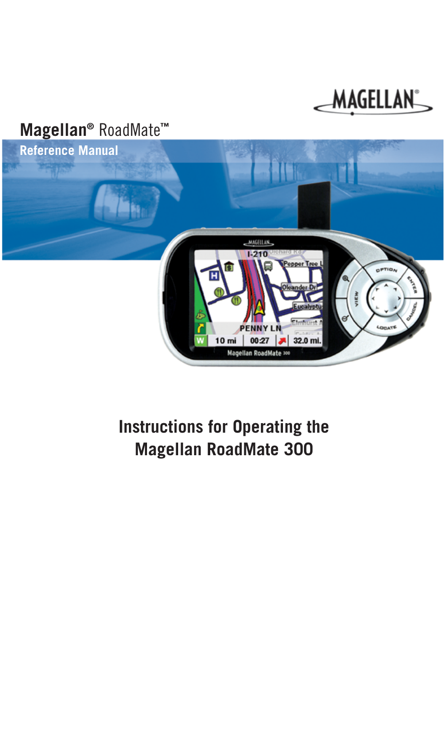
® Magellan Reference Manual RoadMate ™ Instructions for Operating the Magellan RoadMate 300
*** IMPORTANT SAFETY WARNINGS *** The Magellan RoadMate 300 is a vehicle-navigation aid designed to assist you in arriving at your selected destinations. When using the Magellan RoadMate, these safety rules must be followed to prevent accidents that can result in injury or death to yourself or others: • When driving, the need to view the display is minimal. Voice prompts will guide you to your destination. The driver should enter data or program the unit only when the vehicle is stopped. Only a vehicle passenger should enter data or program the unit while the vehicle is moving. It is your responsibility to comply with all traffic laws. • • While every attempt is made to ensure that the database is accurate, roadways, points of interest, and business and service locations may change over time. The database does not include, analyze, process, consider, or reflect any of the following: legal restrictions (such as vehicular type, weight, height, width, load and speed restrictions); road slope or grade; bridge height, width, weight, or other limits; population density; neighborhood quality or safety; availability or proximity of law enforcement, emergency rescue, medical, or other assistance; construction work zones or hazards; road or lane closures; road, traffic, or traffic facilities’ safety or condition; weather conditions; pavement characteristics or conditions; special events; traffic congestion. It is your responsibility to disregard any unsafe, hazardous, or illegal route suggestions. • Keep the Magellan RoadMate safe from extreme temperature conditions. For example, do not leave it exposed to direct sunlight for an extended period of time. • Laws in some states prohibit wearing stereo headphones while operating a motor vehicle. Please contact your state’s Department of Motor Vehicles for information. • Take care when mounting the unit in your vehicle, whether using the windshield mount or other mount or accessories, that it does not obstruct the driver's view of the road, interfere with the operation of the vehicle's safety devices such as air bags, or present a hazard to occupants of the vehicle should the unit be dislodged while driving. You assume the risks associated with damage to your vehicle or vehicle occupants as the result of your choices in mounting the unit. • Please refer to the Read Me First document supplied with your Magellan RoadMate for installation instructions. © 2004 Thales Navigation, Inc. All rights reserved. The Magellan Logo, Magellan, RoadMate, Turn it on and go, TrueView, TrueFix, and QuickSpell are trademarks of Thales Navigation. No part of this user manual may be reproduced or transmitted in any form or by any means, electronic or mechanical, including photocopying and recording, for any purpose other than the purchaser’s personal use, without the prior written permission of Thales Navigation. 631176-01B
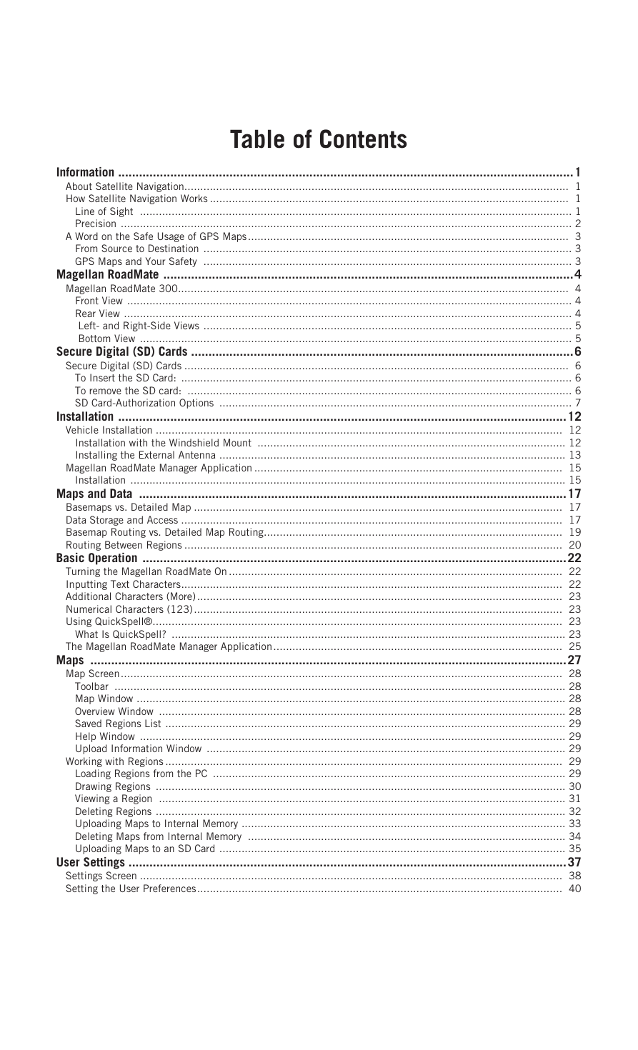
Table of Contents Information ...................................................................................................................................1 About Satellite Navigation......................................................................................................................... 1 How Satellite Navigation Works ................................................................................................................. 1 Line of Sight ........................................................................................................................................ 1 Precision .............................................................................................................................................. 2 A Word on the Safe Usage of GPS Maps..................................................................................................... 3 From Source to Destination .................................................................................................................... 3 GPS Maps and Your Safety .................................................................................................................... 3 Magellan RoadMate ......................................................................................................................4 Magellan RoadMate 300........................................................................................................................... 4 Front View ............................................................................................................................................ 4 Rear View ............................................................................................................................................. 4 Left- and Right-Side Views .................................................................................................................... 5 Bottom View ........................................................................................................................................ 5 Secure Digital (SD) Cards ..............................................................................................................6 Secure Digital (SD) Cards ......................................................................................................................... 6 To Insert the SD Card: ........................................................................................................................... 6 To remove the SD card: ......................................................................................................................... 6 SD Card-Authorization Options ............................................................................................................... 7 Installation .................................................................................................................................12 Vehicle Installation ................................................................................................................................ 12 Installation with the Windshield Mount ................................................................................................. 12 Installing the External Antenna ............................................................................................................. 13 Magellan RoadMate Manager Application ................................................................................................. 15 Installation ......................................................................................................................................... 15 Maps and Data ...........................................................................................................................17 Basemaps vs. Detailed Map .................................................................................................................... 17 Data Storage and Access ........................................................................................................................ 17 Basemap Routing vs. Detailed Map Routing.............................................................................................. 19 Routing Between Regions ....................................................................................................................... 20 Basic Operation ..........................................................................................................................22 Turning the Magellan RoadMate On ......................................................................................................... 22 Inputting Text Characters........................................................................................................................ 22 Additional Characters (More)................................................................................................................... 23 Numerical Characters (123).................................................................................................................... 23 Using QuickSpell®................................................................................................................................. 23 What Is QuickSpell? ............................................................................................................................ 23 The Magellan RoadMate Manager Application........................................................................................... 25 Maps .........................................................................................................................................27 Map Screen........................................................................................................................................... 28 Toolbar .............................................................................................................................................. 28 Map Window ....................................................................................................................................... 28 Overview Window ................................................................................................................................ 28 Saved Regions List .............................................................................................................................. 29 Help Window ...................................................................................................................................... 29 Upload Information Window ................................................................................................................. 29 Working with Regions ............................................................................................................................. 29 Loading Regions from the PC ............................................................................................................... 29 Drawing Regions ................................................................................................................................. 30 Viewing a Region ................................................................................................................................ 31 Deleting Regions ................................................................................................................................. 32 Uploading Maps to Internal Memory ...................................................................................................... 33 Deleting Maps from Internal Memory .................................................................................................... 34 Uploading Maps to an SD Card ............................................................................................................. 35 User Settings ..............................................................................................................................37 Settings Screen ..................................................................................................................................... 38 Setting the User Preferences................................................................................................................... 40
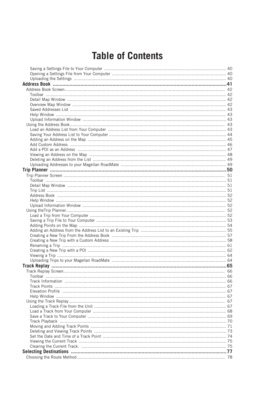
Table of Contents Saving a Settings File to Your Computer ................................................................................................ 40 Opening a Settings File from Your Computer .......................................................................................... 40 Uploading the Settings ........................................................................................................................ 40 Address Book .............................................................................................................................41 Address Book Screen.............................................................................................................................. 42 Toolbar .............................................................................................................................................. 42 Detail Map Window ............................................................................................................................. 42 Overview Map Window ......................................................................................................................... 42 Saved Addresses List ........................................................................................................................... 43 Help Window ...................................................................................................................................... 43 Upload Information Window ................................................................................................................. 43 Using the Address Book.......................................................................................................................... 43 Load an Address List from Your Computer ............................................................................................. 43 Saving Your Address List to Your Computer ............................................................................................ 44 Adding an Address on the Map ............................................................................................................. 45 Add Custom Address ........................................................................................................................... 46 Add a POI as an Address ..................................................................................................................... 47 Viewing an Address on the Map ............................................................................................................ 48 Deleting an Address from the List ......................................................................................................... 49 Uploading Addresses to your Magellan RoadMate ................................................................................... 49 Trip Planner ...............................................................................................................................50 Trip Planner Screen ............................................................................................................................... 51 Toolbar .............................................................................................................................................. 51 Detail Map Window ............................................................................................................................. 51 Trip List ............................................................................................................................................. 51 Address Book ..................................................................................................................................... 52 Help Window ...................................................................................................................................... 52 Upload Information Window ................................................................................................................. 52 Using theTrip Planner............................................................................................................................. 52 Load a Trip from Your Computer ........................................................................................................... 52 Saving a Trip File to Your Computer ...................................................................................................... 53 Adding Points on the Map .................................................................................................................... 54 Adding an Address from the Address List to an Existing Trip ................................................................... 55 Creating a New Trip From the Address Book .......................................................................................... 57 Creating a New Trip with a Custom Address ........................................................................................... 58 Renaming a Trip ................................................................................................................................. 61 Creating a New Trip with a POI ............................................................................................................. 62 Viewing a Trip ..................................................................................................................................... 64 Uploading Trips to your Magellan RoadMate .......................................................................................... 64 Track Replay ..............................................................................................................................65 Track Replay Screen............................................................................................................................... 66 Toolbar .............................................................................................................................................. 66 Track Information ............................................................................................................................... 66 Track Points ....................................................................................................................................... 67 Elevation Profile ................................................................................................................................. 67 Help Window ...................................................................................................................................... 67 Using the Track Replay........................................................................................................................... 67 Loading a Track File from the Unit ........................................................................................................ 67 Load a Track from Your Computer ......................................................................................................... 68 Save a Track to Your Computer ............................................................................................................. 69 Track Playback ................................................................................................................................... 70 Moving and Adding Track Points ........................................................................................................... 71 Deleting and Viewing Track Points ........................................................................................................ 73 Set the Date and Time of a Track Point ................................................................................................. 74 Viewing the Current Track .................................................................................................................... 75 Clearing the Current Track. .................................................................................................................. 75 Selecting Destinations ................................................................................................................77 Choosing the Route Method .................................................................................................................... 78
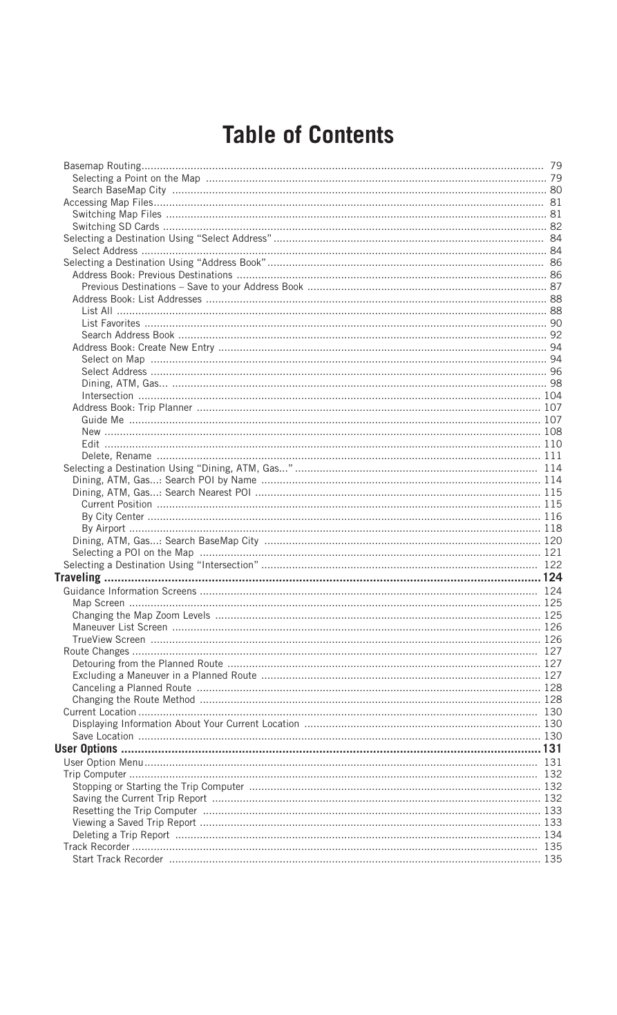
Table of Contents Basemap Routing................................................................................................................................... 79 Selecting a Point on the Map ............................................................................................................... 79 Search BaseMap City .......................................................................................................................... 80 Accessing Map Files............................................................................................................................... 81 Switching Map Files ............................................................................................................................ 81 Switching SD Cards ............................................................................................................................. 82 Selecting a Destination Using “Select Address” ........................................................................................ 84 Select Address .................................................................................................................................... 84 Selecting a Destination Using “Address Book”.......................................................................................... 86 Address Book: Previous Destinations ..................................................................................................... 86 Previous Destinations – Save to your Address Book .............................................................................. 87 Address Book: List Addresses ............................................................................................................... 88 List All ............................................................................................................................................ 88 List Favorites ................................................................................................................................... 90 Search Address Book ........................................................................................................................ 92 Address Book: Create New Entry ........................................................................................................... 94 Select on Map ................................................................................................................................. 94 Select Address ................................................................................................................................. 96 Dining, ATM, Gas... .......................................................................................................................... 98 Intersection ................................................................................................................................... 104 Address Book: Trip Planner ................................................................................................................ 107 Guide Me ...................................................................................................................................... 107 New .............................................................................................................................................. 108 Edit .............................................................................................................................................. 110 Delete, Rename ............................................................................................................................. 111 Selecting a Destination Using “Dining, ATM, Gas...” ............................................................................... 114 Dining, ATM, Gas...: Search POI by Name ........................................................................................... 114 Dining, ATM, Gas...: Search Nearest POI ............................................................................................. 115 Current Position ............................................................................................................................. 115 By City Center ................................................................................................................................ 116 By Airport ...................................................................................................................................... 118 Dining, ATM, Gas...: Search BaseMap City .......................................................................................... 120 Selecting a POI on the Map ............................................................................................................... 121 Selecting a Destination Using “Intersection” .......................................................................................... 122 Traveling ..................................................................................................................................124 Guidance Information Screens .............................................................................................................. 124 Map Screen ...................................................................................................................................... 125 Changing the Map Zoom Levels .......................................................................................................... 125 Maneuver List Screen ........................................................................................................................ 126 TrueView Screen ............................................................................................................................... 126 Route Changes .................................................................................................................................... 127 Detouring from the Planned Route ...................................................................................................... 127 Excluding a Maneuver in a Planned Route ........................................................................................... 127 Canceling a Planned Route ................................................................................................................ 128 Changing the Route Method ............................................................................................................... 128 Current Location .................................................................................................................................. 130 Displaying Information About Your Current Location ............................................................................. 130 Save Location ................................................................................................................................... 130 User Options .............................................................................................................................131 User Option Menu................................................................................................................................ 131 Trip Computer ..................................................................................................................................... 132 Stopping or Starting the Trip Computer ............................................................................................... 132 Saving the Current Trip Report ........................................................................................................... 132 Resetting the Trip Computer .............................................................................................................. 133 Viewing a Saved Trip Report ............................................................................................................... 133 Deleting a Trip Report ....................................................................................................................... 134 Track Recorder .................................................................................................................................... 135 Start Track Recorder ......................................................................................................................... 135
Table of Contents Stop Track Recorder .......................................................................................................................... 135 Save Track Record ............................................................................................................................ 136 View Track ....................................................................................................................................... 137 Delete, Rename Track ....................................................................................................................... 138 Configuration....................................................................................................................................... 140 Brightness ........................................................................................................................................ 140 Volume ............................................................................................................................................ 140 Auto Power Off ................................................................................................................................. 141 Language ......................................................................................................................................... 141 User Settings....................................................................................................................................... 142 POI Selection ................................................................................................................................... 142 Map Options ..................................................................................................................................... 143 Select Map Color .............................................................................................................................. 143 Route Preferences ............................................................................................................................. 144 Split TrueView .................................................................................................................................. 144 Menu Colors ..................................................................................................................................... 145 Tone Options .................................................................................................................................... 146 Diagnostics ...................................................................................................................................... 146 Search by Street ............................................................................................................................ 147 Search BaseMap City ...................................................................................................................... 149 Simulator Mode ............................................................................................................................. 149 User - Edit Name .............................................................................................................................. 151 Password Settings ............................................................................................................................. 151
Information About Satellite Navigation Information Global satellite navigation is an exciting technology, providing enhanced productivity and accuracy in a vast number of industries. It adds a new level of enjoyment and safety to a wide range of navigation, sports, and recreational activities. A Global Navigation Satellite System (GNSS) is a network of satellites that transmit high-frequency radio signals containing time and distance data that can be picked up by a receiver, allowing users to pinpoint their precise locations anywhere around the globe. There are two Global Navigation Satellite Systems in operation: the U.S. Global Positioning System (GPS) and the Russian GLObal NAvigation Satellite System (GLONASS). These systems are constantly being upgraded to meet higher standards of reliability. A third GNSS named GALILEO, after the Italian astronomer of the early 1600s, is being developed in Europe specifically to provide a higher standard of integrity and reliability, required to ensure the safety of lives during transport by air, land and sea, without the use of additional augmentation systems. While the GPS and GLONASS satellite networks are being developed to achieve maximum performance, Satellite- Based Augmentation Systems (SBAS) have been established to provide improved accuracy. SBAS provides differential signal corrections for GPS and GLONASS transmissions with the use of ground stations and geostationary satellites in specific regions. This is GNSS-1, the first phase in establishing the required integrity for high-precision satellite navigation. GNSS-2 requires the launching of new satellites into orbit and a complete upgrade of the existing satellite systems. This second phase is already well underway. GALILEO, scheduled to begin service in 2008, is being developed to meet the standards of GNSS-2 for rapid and reliable, certified precision positioning. How Satellite Navigation Works Global navigation satellites continuously transmit time and distance information as they orbit the earth in a precise formation. Navigation satellite receivers use this information to calculate an exact location through triangulation. Every point on Earth is identified by two sets of numbers called coordinates. These coordinates represent the exact point where a horizontal line, known as latitude, crosses a vertical line, known as longitude. The receiver locks on to at least three satellites and uses the information received to determine the coordinates of the receiving device. By comparing the time the signals were transmitted from the satellites and the time they were recorded, the receiver calculates how far away each satellite is. The distance of the receiver from three or more satellites reveals its position on the surface of the planet. With these distance measurements, the receiver might also calculate speed, bearing, trip time, distance to destination, altitude, and more. The satellite-navigation device may display its position as longitude/latitude, Universal Transverse Mercator (UTM), Military Grid (MG), or simply as a point on an electronic map. Many Thales Navigation receivers provide comprehensive mapping data, making satellite navigation an easy tool to enhance your recreational and industrial activities. Line of Sight Satellite-navigation receivers operate by line of sight with global-positioning satellites. This means that at least three satellites must be in “view” of a receiver in order to calculate longitude and latitude. A fourth satellite must also be within line of sight to calculate altitude. On average, eight satellites are continuously within line of sight of every position on Earth; the more satellites in view, the more accurate the positioning. Though the radio signals of navigation satellites will pass through clouds, glass, plastic, and other lightweight materials, satellite-navigation receivers will not work underground or in other enclosed spaces. 1
Information Precision On average, a satellite-navigation receiver is accurate to within 15 meters. Thales Navigation employs several technologies to increase the accuracy of their professional and Magellan®-branded receivers. An accuracy of 3 meters or better is achieved using correction signals from satellite navigation-augmentation systems. In the U.S., an accuracy of 3 meters is achieved using signal corrections from a network of ground stations and fixed-position satellites known as WAAS (Wide-Area Augmentation System). Throughout Europe a similar system, EGNOS (European Geostationary Navigation Overlay System), provides the same accuracy. In Asia, satellite navigation- signal correction is provided by MSAS (Multifunctional Transport Satellite-based Augmentation System). Other ways to increase the accuracy of satellite navigation include the use of DGPS (Differential Global-Positioning System); ground relay stations, set at known positions, transmit corrected satellite-navigation signals. Various methods and applications of DGPS can increase satellite navigation accuracy from a few meters to within a few millimeters. Using DGPS requires a differential-beacon receiver and antennae in addition to a satellite-navigation device. Accuracy can also be increased using an RTK (Real-Time Kinematic) satellite-navigation system. This is a receiver capable of transmitting a phase-corrected signal from a known position to one or more rover receivers. A number of positioning errors can occur, limiting accuracy to within 15 to 25 meters. These errors are monitored and compensated for in a number of ways: Orbiting errors -- Occasionally a satellite's reported position does not match its actual trajectory. In the U.S., the Department of Defense continuously monitors each satellite, making orbital corrections with onboard booster rockets. Poor geometry -- If all of the satellites within line of sight of a receiver are clustered closely together, or lined up relative to the position of the receiver, the geometric calculations necessary for triangulating a position become difficult and less reliable. The use of differential-correction signals from satellite-based augmentation systems or DGPS can compensate for both orbital errors and poor geometry. Multipath signals -- Signals may be reflected off tall buildings or other obstructions before reaching the receiver, increasing the distance a signal travels and reducing accuracy. Thales Navigation receivers make a number of complex mathematical calculations to effectively compensate for other potential errors in positioning: Atmospheric delay -- Satellite-navigation signals slow as they pass through the Earth's atmosphere. Thales Navigation receivers calculate the average delay in nanoseconds to compensate. Clock errors -- The clock built into a receiver is not as accurate as the atomic clock on a navigation satellite, which is accurate to one second every million years. Each Thales Navigation receiver compensates for time differentials by comparing the time signals of several satellites and adjusting its calculations and its clock to match. 2
分享到:
收藏