150man rev E 7/24/98 3:09 PM Page i
GPS 150
CRSR
s
s
s
STAT
CLR
D
s
s
NRST
s
s
SET
s
s
RTE
s
s
WPT
s
NAV
OFF
BRT
OWNERS MANUAL
& REFERENCE
GPS 150
Pilots Guide
TM
�
150man rev E 7/24/98 3:09 PM Page ii
�
150man rev E 7/24/98 3:09 PM Page i
Software Version 3.00 or above
© 1997 GARMIN Corporation
1200 E. 151st Street, Olathe, KS USA 66062
INTRODUCTION
Foreword
GARMIN (Europe) LTD
Unit 5, The Quadrangle, Abbey Park Industrial Estate, Romsey, U.K. SO51 9AQ
All rights reserved. No part of this manual may be reproduced or transmitted in any
form or by any means, electronic or mechanical, including photocopying and record-
ing, for any purpose without the express written permission of GARMIN Corporation.
GARMIN™, GPS 150™, AutoLocate™,
MultiTrac8™ and AutoStore™ are trademarks of
GARMIN Corporation and may
only be used with permission.
All rights reserved.
Information in this document is subject to change without notice. GARMIN reserves the
right to change or improve their products and to make changes in the content of this
material without obligation to notify any person or organization of such changes or
improvements.
Part # 190-00048-00 Rev. E
Printed in the U.S.A.
i
�
150man rev E 7/24/98 3:09 PM Page ii
INTRODUCTION
Cautions
NOTE: This device complies with Part 15 of the FCC
limits for Class B digital devices. This equipment gener-
ates, uses, and can radiate radio frequency energy and, if
not installed and used in accordance with the instruc-
tions, may cause harmful interference to radio communi-
cations. However, there is no guarantee that interference
will not occur in a particular installation.
If this equipment does cause harmful interference, the
user is encouraged to try to correct the interference by relo-
cating the equipment or connecting the equipment to a dif-
ferent circuit than the affected equipment. Consult an
authorized dealer or other qualified avionics technician for
additional help if these remedies do not correct the problem.
This device complies with part 15 of the FCC rules.
Operation is subject to the following conditions: (1) This
device may not cause harmful inteference, and (2) this
device must accept any interference received, including
interference that may cause undesired operation.
The GARMIN GPS 150 does not contain any user-
serviceable parts. Repairs should only be made by an
authorized GARMIN service center. Unauthorized repairs
or modifications could void your warranty and your
authority to perate this device under Part 15 regulations.
ii
CAUTION
The GPS system is operated by the United States government, which is solely
responsible for its accuracy and maintenance. The system is subject to changes which
could affect the accuracy and performance of all GPS equipment. Although the
GARMIN GPS 150 is a precision electronic NAVigation AID (NAVAID), any NAVAID
can be misused or misinterpreted, and therefore become unsafe.
Use the GPS 150 at your own risk. To reduce the risk of unsafe operation,
carefully review and understand all aspects of this Owner’s Manual and thoroughly
practice using the simulator mode prior to actual use. When in actual use, carefully
compare indications from the GPS 150 to all available navigation sources, including
the information from other NAVAIDS, visual sightings, charts, etc. For safety, always
resolve any discrepancies before continuing navigation.
The altitude calculated by the GPS 150 is geometric height above mean sea level
and could vary significantly from altitude displayed by pressure altimeters in aircraft.
NEVER use GPS altitude for vertical navigation.
The Jeppesen database incorporated in the GPS 150 must be updated regularly in
order to ensure that its information is current. Updates are released every 28 days. A
database information packet is included in your GPS 150 package.
Pilots using an out-of-date database do so entirely at their own risk.
CAUTION! The GARMIN GPS 150 has no user serviceable parts. Should you ever
encounter a problem with the unit, please take it to an authorized GARMIN dealer
for repairs.
�
150man rev E 7/24/98 3:09 PM Page iii
Accessories & Packing List
Congratulations on choosing the finest, most full-featured panel-mount VFR GPS
available. The GPS 150 represents GARMIN’s commitment to provide an accurate,
easy-to-use GPS for all of your aviation needs.
Before installing and getting started with your unit, please check to see that your
package includes the following items. If any parts are missing or damaged, please see
your GARMIN dealer immediately.
Standard Package:
• GPS 150 unit w/ Rechargeable Battery Pack and NavData® Card
• Aviation Installation and Antenna Kit
• Pilot’s Guide & Quick Reference Guide
• Database Subscription Packet
Optional Accessories
• AC Adaptor
• PC 150 Interface Kit
• User Data Card
INTRODUCTION
Accessories and
Packing List
To obtain accessories for your GPS 150,
please contact your nearest GARMIN dealer.
iii
�
150man rev E 7/24/98 3:09 PM Page iv
INTRODUCTION
Capabilities
iv
Designed for accurate performance and intuitive operation, the GPS 150 is a
powerful navigation device that allows you to navigate easily, no matter where your
destination may take you.
Precision Performance
• MultiTrac8™ receiver tracks and uses up to 8 satellites for fast, accurate
positioning and speed, with continuous, 1 second updates
• Jeppesen® database lists airports, VORs, NDBs, FSSs, intersections, comm
frequencies, runway info, minimum safe altitude, SUA information and more
• Vacuum fluorescent display to provide easy viewing, even in direct sunlight
• Battery backup of up to 4 hours for powering the GPS 150 in case of aircraft
electrical power failure
Advanced Navigation
• Stores 1,000 user waypoints and 20 reversible flight plans of up to
31 waypoints each
• Stores user comments on up to 250 items (airports, VORs, etc.)
• Interfaces with existing autopilot, moving maps, CDI, HSI and other equipment
�
150man rev E 7/24/98 3:09 PM Page v
PART ONE: INTRODUCTION
Foreword . . . . . . . . . . . . . . . . . . . . . . . . . . . . . . . . . . . . . . . . . . . . . . . . . .i
Cautions . . . . . . . . . . . . . . . . . . . . . . . . . . . . . . . . . . . . . . . . . . . . . . . . . .ii
Accessories/Packing List . . . . . . . . . . . . . . . . . . . . . . . . . . . . . . . . . . . . . . .iii
Capabilities . . . . . . . . . . . . . . . . . . . . . . . . . . . . . . . . . . . . . . . . . . . . . . . .iv
Table of Contents . . . . . . . . . . . . . . . . . . . . . . . . . . . . . . . . . . . . . . . . . .v-vi
Key and Knob Functions . . . . . . . . . . . . . . . . . . . . . . . . . . . . . . . . . . .vii-viii
Getting Started with the GPS 150 . . . . . . . . . . . . . . . . . . . . . . . . . . . . . . .1-6
PART TWO: REFERENCE
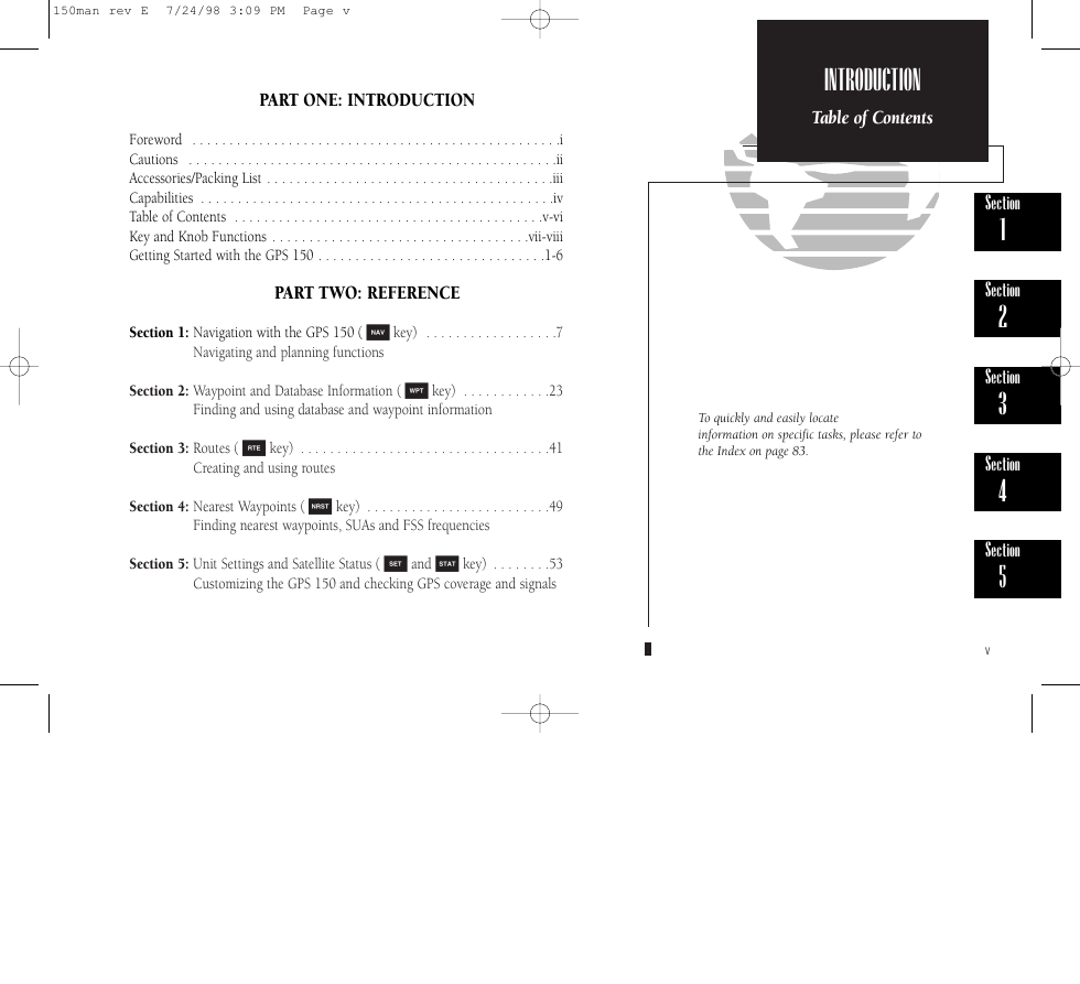
Section 1: Navigation with the GPS 150 ( N key) . . . . . . . . . . . . . . . . . .7
Navigating and planning functions
Section 2: Waypoint and Database Information ( W key) . . . . . . . . . . . .23
Finding and using database and waypoint information
Section 3: Routes ( R key) . . . . . . . . . . . . . . . . . . . . . . . . . . . . . . . . . .41
Creating and using routes
Section 4: Nearest Waypoints ( T key) . . . . . . . . . . . . . . . . . . . . . . . . .49
Finding nearest waypoints, SUAs and FSS frequencies
Section 5: Unit Settings and Satellite Status ( S and A key) . . . . . . . .53
Customizing the GPS 150 and checking GPS coverage and signals
INTRODUCTION
Table of Contents
To quickly and easily locate
information on specific tasks, please refer to
the Index on page 83.
Section
1
Section
2
Section
3
Section
4
Section
5
v
�
150man rev E 7/24/98 3:09 PM Page vi
INTRODUCTION
Table of Contents
Appendix A: NavData® and User Data Card Use . . . . . . . . . . . . . . . . .67
Appendix B: Installation, Removal and Maintenance of the GPS 150 . . .69
Appendix C: GPS 150 Abbreviations and Messages . . . . . . . . . . . . . . . .71
Appendix D: Specifications . . . . . . . . . . . . . . . . . . . . . . . . . . . . . . . . .79
Appendix E: Map Datums . . . . . . . . . . . . . . . . . . . . . . . . . . . . . . . . . .81
Appendix F: Index . . . . . . . . . . . . . . . . . . . . . . . . . . . . . . . . . . . . . . . .83
vi
�


 2023年江西萍乡中考道德与法治真题及答案.doc
 2012年重庆南川中考生物真题及答案.doc
 2013年江西师范大学地理学综合及文艺理论基础考研真题.doc
 2020年四川甘孜小升初语文真题及答案I卷.doc
 2020年注册岩土工程师专业基础考试真题及答案.doc
 2023-2024学年福建省厦门市九年级上学期数学月考试题及答案.doc
 2021-2022学年辽宁省沈阳市大东区九年级上学期语文期末试题及答案.doc
 2022-2023学年北京东城区初三第一学期物理期末试卷及答案.doc
 2018上半年江西教师资格初中地理学科知识与教学能力真题及答案.doc
 2012年河北国家公务员申论考试真题及答案-省级.doc
 2020-2021学年江苏省扬州市江都区邵樊片九年级上学期数学第一次质量检测试题及答案.doc
 2022下半年黑龙江教师资格证中学综合素质真题及答案.doc