Front Cover
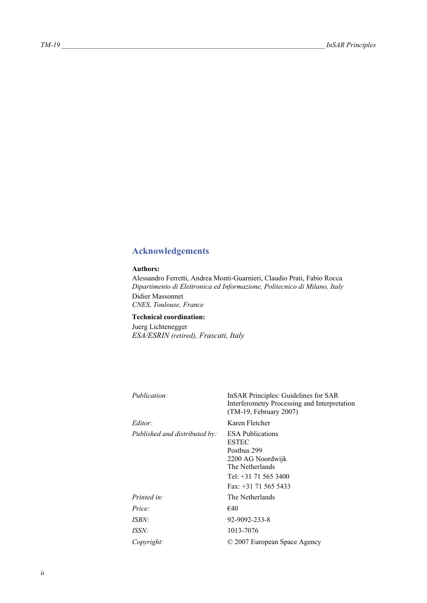
Acknowledgements
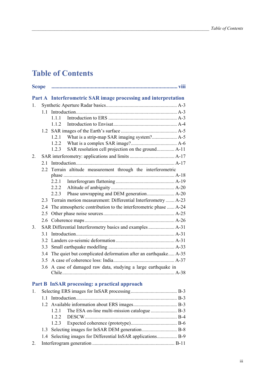
Table of Contents
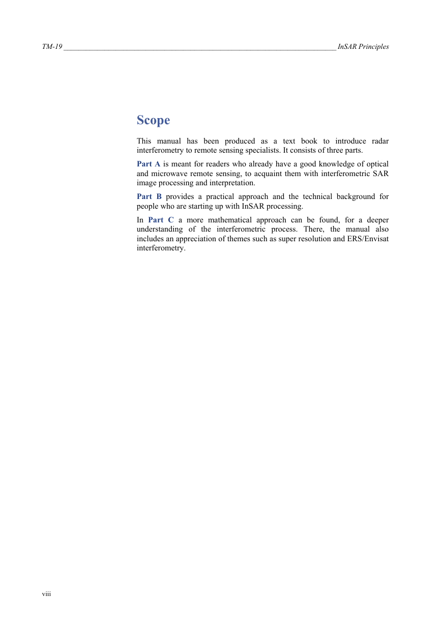
Scope
Part A Interferometric SAR image processing and interpretation
1. Synthetic Aperture Radar basics
1.1 Introduction
1.1.1 Introduction to ERS
1.1.2 Introduction to Envisat
1.2 SAR images of the Earth’s surface
1.2.1 What is a strip-map SAR imaging system?
1.2.2 What is a complex SAR image?
1.2.3 SAR resolution cell projection on the ground
2. SAR interferometry: applications and limits
2.1 Introduction
2.2 Terrain altitude measurement through the interferometric phase
2.2.1 Interferogram flattening
2.2.2 Altitude of ambiguity
2.2.3 Phase unwrapping and DEM generation
2.3 Terrain motion measurement: Differential Interferometry
2.4 The atmospheric contribution to the interferometric phase
2.5 Other phase noise sources
2.6 Coherence maps
3. SAR Differential Interferometry basics and examples
3.1 Introduction
3.2 Landers co-seismic deformation
3.3 Small earthquake modelling
3.4 The quiet but complicated deformation after an earthquake
3.5 A case of coherence loss: India
3.6 A case of damaged raw data, studying a large earthquake in Chile
Part B InSAR processing: a practical approach
1. Selecting ERS images for InSAR processing
1.1 Introduction
1.2 Available information about ERS images
1.2.1 The ESA on-line multi-mission catalogue
1.2.2 DESCW
1.2.3 Expected coherence (prototype)
1.3 Selecting images for InSAR DEM generation
1.4 Selecting images for Differential InSAR applications
1.4.1 Hints for image selection
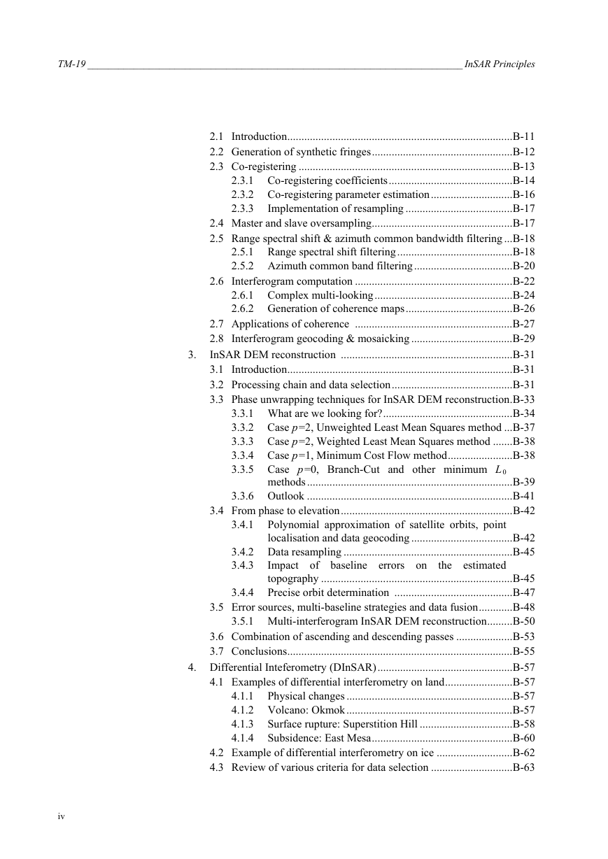
2. Interferogram generation
2.1 Introduction
2.2 Generation of synthetic fringes
2.3 Co-registering
2.3.1 Co-registering coefficients
2.3.2 Co-registering parameter estimation
2.3.3 Implementation of resampling
2.4 Master and slave oversampling
2.5 Range spectral shift & azimuth common bandwidth filtering
2.5.1 Range spectral shift filtering
2.5.2 Azimuth common band filtering
2.6 Interferogram computation
2.6.1 Complex multi-looking
2.6.2 Generation of coherence maps
2.7 Applications of coherence
2.8 Interferogram geocoding & mosaicking
3. InSAR DEM reconstruction
3.1 Introduction
3.2 Processing chain and data selection
3.3 Phase unwrapping techniques for InSAR DEM reconstruction
3.3.1 What are we looking for?
3.3.2 Case p=2, Unweighted Least Mean Squares method
3.3.3 Case p=2, Weighted Least Mean Squares method
3.3.4 Case p=1, Minimum Cost Flow method
3.3.5 Case p=0, Branch-Cut and other minimum L0 methods
3.3.6 Outlook
3.4 From phase to elevation
3.4.1 Polynomial approximation of satellite orbits, point localisation and data geocoding
3.4.2 Data resampling
3.4.3 Impact of baseline errors on the estimated topography
3.4.4 Precise orbit determination
3.5 Error sources, multi-baseline strategies and data fusion
3.5.1 Multi-Interferogram InSAR DEM reconstruction
3.6 Combination of ascending and descending passes
3.7 Conclusions
4. Differential Interferometry (DInSAR)
4.1 Examples of differential interferometry on land
4.1.1 Physical changes
4.1.2 Volcano: Okmok
4.1.3 Surface rupture: Superstition Hill
4.1.4 Subsidence: East Mesa
4.2 Example of differential interferometry on ice
4.3 Review of various criteria for data selection
4.4 Interferometric interpretation
4.4.1 Interferometry phase signal ruggedness
4.4.2 Fictitious example interferograms for analysis
4.4.3 Analysis of fictitious situations
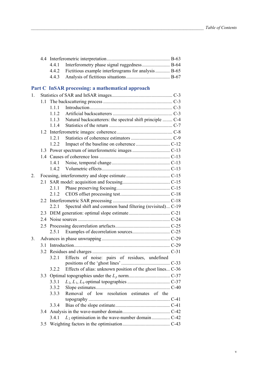
Part C InSAR processing: a mathematical approach
1. Statistics of SAR and InSAR images
1.1 The backscattering process
1.1.1 Introduction
1.1.2 Artificial backscatterers
1.1.3 Natural backscatterers: the spectral shift principle
1.1.4 Statistics of the return
1.2 Interferometric images: coherence
1.2.1 Statistics of coherence estimators
1.2.2 Impact of the baseline on coherence
1.3 Power spectrum of interferometric images
1.4 Causes of coherence loss
1.4.1 Noise, temporal change
1.4.2 Volumetric effects
2. Focusing, interferometry and slope estimate
2.1 SAR model: acquisition and focusing
2.1.1 Phase preserving focusing
2.1.2 CEOS offset processing test
2.2 Interferometric SAR processing
2.2.1 Spectral shift and common band filtering (revisited)
2.3 DEM generation: optimal slope estimate
2.4 Noise sources
2.5 Processing decorrelation artefacts
2.5.1 Examples of decorrelation sources
3. Advances in phase unwrapping
3.1 Introduction
3.2 Residues and charges
3.2.1 Effects of noise: pairs of residues, undefined positions of the ‘ghost lines’
3.2.2 Effects of alias: unknown position of the ghost lines
3.3 Optimal topographies under the Lp norm
3.3.1 L2, L1, L0 , optimal topographies
3.3.2 Slope estimates
3.3.3 Removal of low resolution estimates of the topography
3.3.4 Bias of the slope estimate
3.4 Analysis in the wave-number domain
3.4.1 L2 optimisation in the wave-number domain
3.5 Weighting factors in the optimisation
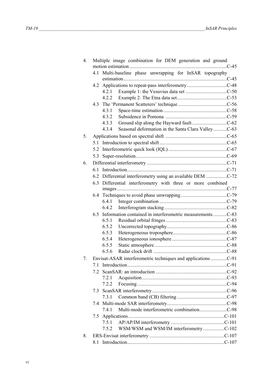
4. Multiple image combination for DEM generation and ground motion estimation
4.1 Multi-baseline phase unwrapping for InSAR topography estimation
4.2 Applications to repeat-pass interferometry
4.2.1 Example 1: the Vesuvius data set
4.2.2 Example 2: The Etna data set
4.3 The ‘Permanent Scatterers’ technique
4.3.1 Space-time estimation
4.3.2 Subsidence in Pomona
4.3.3 Ground slip along the Hayward fault
4.3.4 Seasonal deformation in the Santa Clara Valley
5. Applications based on spectral shift
5.1 Introduction to spectral shift
5.2 Interferometric quick look (IQL)
5.3 Super-resolution
6. Differential interferometry
6.1 Introduction
6.2 Differential interferometry using an available DEM
6.3 Differential interferometry with three or more combined images
6.4 Techniques to avoid phase unwrapping
6.4.1 Integer combination
6.4.2 Interferogram stacking
6.5 Information contained in interferometricmeasurements
6.5.1 Residual orbital fringes
6.5.2 Uncorrected topography
6.5.3 Heterogeneous troposphere
6.5.4 Heterogeneous ionosphere
6.5.5 Static atmosphere
6.5.6 Radar clock drift
7. Envisat-ASAR interferometric techniques and applications
7.1 Introduction
7.2 ScanSAR: an introduction
7.2.1 Acquisition
7.2.2 Focusing
7.3 ScanSAR interferometry
7.3.1 Common band (CB) filtering
7.4 Multi-mode SAR interferometry
7.4.1 Multi-mode interferometric combination
7.5 Applications
7.5.1 AP/AP and AP/IM interferometry
7.5.2 WSM/WSM and WSM/IM interferometry
8. ERS-Envisat interferometry
8.1 Introduction
8.2 ERS-Envisat interferometric combination
8.3 Frequency gap compensation
8.4 Vertical accuracy
8.5 Altitude of ambiguity
8.6 Effect of volume scattering
8.7 Experimental results
Reference Documents




 2023年江西萍乡中考道德与法治真题及答案.doc
 2012年重庆南川中考生物真题及答案.doc
 2013年江西师范大学地理学综合及文艺理论基础考研真题.doc
 2020年四川甘孜小升初语文真题及答案I卷.doc
 2020年注册岩土工程师专业基础考试真题及答案.doc
 2023-2024学年福建省厦门市九年级上学期数学月考试题及答案.doc
 2021-2022学年辽宁省沈阳市大东区九年级上学期语文期末试题及答案.doc
 2022-2023学年北京东城区初三第一学期物理期末试卷及答案.doc
 2018上半年江西教师资格初中地理学科知识与教学能力真题及答案.doc
 2012年河北国家公务员申论考试真题及答案-省级.doc
 2020-2021学年江苏省扬州市江都区邵樊片九年级上学期数学第一次质量检测试题及答案.doc
 2022下半年黑龙江教师资格证中学综合素质真题及答案.doc