ArcGIS Runtime SDK for Qt
1
�
ArcGIS Runtime SDK for Qt
ArcGIS Runtime SDK 100.0 for Qt (C++ API)
Get started
. . . . . . . . . . . . . . . . . . . . . . . . . . . . . . . . . . 4
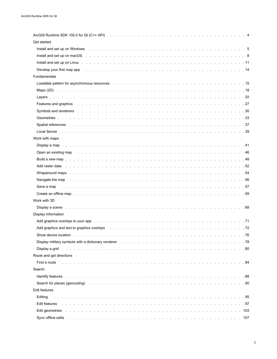
Install and set up on Windows . . . . . . . . . . . . . . . . . . . . . . . . . . . . . . . . . . . . . . . 5
Install and set up on macOS . . . . . . . . . . . . . . . . . . . . . . . . . . . . . . . . . . . . . . . . 8
Install and set up on Linux . . . . . . . . . . . . . . . . . . . . . . . . . . . . . . . . . . . . . . . . . 11
Develop your first map app . . . . . . . . . . . . . . . . . . . . . . . . . . . . . . . . . . . . . . . . 14
Fundamentals
Loadable pattern for asynchronous resources . . . . . . . . . . . . . . . . . . . . . . . . . . . . . . . . . 15
Maps (2D) . . . . . . . . . . . . . . . . . . . . . . . . . . . . . . . . . . . . . . . . . . . . . . . 18
Layers . . . . . . . . . . . . . . . . . . . . . . . . . . . . . . . . . . . . . . . . . . . . . . . . . 20
Features and graphics . . . . . . . . . . . . . . . . . . . . . . . . . . . . . . . . . . . . . . . . . . 27
Symbols and renderers . . . . . . . . . . . . . . . . . . . . . . . . . . . . . . . . . . . . . . . . . . 30
Geometries . . . . . . . . . . . . . . . . . . . . . . . . . . . . . . . . . . . . . . . . . . . . . . . 33
Spatial references . . . . . . . . . . . . . . . . . . . . . . . . . . . . . . . . . . . . . . . . . . . . 37
Local Server
. . . . . . . . . . . . . . . . . . . . . . . . . . . . . . . . . . . . . . . . . . . . . . 39
Work with maps
Display a map . . . . . . . . . . . . . . . . . . . . . . . . . . . . . . . . . . . . . . . . . . . . . . 41
Open an existing map . . . . . . . . . . . . . . . . . . . . . . . . . . . . . . . . . . . . . . . . . . 46
Build a new map . . . . . . . . . . . . . . . . . . . . . . . . . . . . . . . . . . . . . . . . . . . . . 48
Add raster data . . . . . . . . . . . . . . . . . . . . . . . . . . . . . . . . . . . . . . . . . . . . . 52
Wraparound maps . . . . . . . . . . . . . . . . . . . . . . . . . . . . . . . . . . . . . . . . . . . . 54
Navigate the map . . . . . . . . . . . . . . . . . . . . . . . . . . . . . . . . . . . . . . . . . . . . 56
Save a map . . . . . . . . . . . . . . . . . . . . . . . . . . . . . . . . . . . . . . . . . . . . . . 57
Create an offline map . . . . . . . . . . . . . . . . . . . . . . . . . . . . . . . . . . . . . . . . . . . 59
Work with 3D
Display a scene . . . . . . . . . . . . . . . . . . . . . . . . . . . . . . . . . . . . . . . . . . . . . 68
Display information
Add graphics overlays to your app . . . . . . . . . . . . . . . . . . . . . . . . . . . . . . . . . . . . . . 71
Add graphics and text to graphics overlays . . . . . . . . . . . . . . . . . . . . . . . . . . . . . . . . . . 72
Show device location . . . . . . . . . . . . . . . . . . . . . . . . . . . . . . . . . . . . . . . . . . . 76
Display military symbols with a dictionary renderer
. . . . . . . . . . . . . . . . . . . . . . . . . . . . . . . 78
Display a grid . . . . . . . . . . . . . . . . . . . . . . . . . . . . . . . . . . . . . . . . . . . . . . 80
Route and get directions
Find a route . . . . . . . . . . . . . . . . . . . . . . . . . . . . . . . . . . . . . . . . . . . . . . 84
Search
Identify features . . . . . . . . . . . . . . . . . . . . . . . . . . . . . . . . . . . . . . . . . . . . . 88
Search for places (geocoding)
. . . . . . . . . . . . . . . . . . . . . . . . . . . . . . . . . . . . . . . 90
Edit features
Editing . . . . . . . . . . . . . . . . . . . . . . . . . . . . . . . . . . . . . . . . . . . . . . . . 95
Edit features . . . . . . . . . . . . . . . . . . . . . . . . . . . . . . . . . . . . . . . . . . . . . . 97
Edit geometries . . . . . . . . . . . . . . . . . . . . . . . . . . . . . . . . . . . . . . . . . . . . 103
. . . . . . . . . . . . . . . . . . . . . . . . . . . . . . . . . . . . . . . . . . . 107
Sync offline edits
2
�
ArcGIS Runtime SDK for Qt
Use the cloud and servers
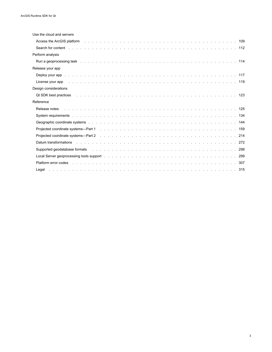
Access the ArcGIS platform . . . . . . . . . . . . . . . . . . . . . . . . . . . . . . . . . . . . . . . 109
Search for content . . . . . . . . . . . . . . . . . . . . . . . . . . . . . . . . . . . . . . . . . . . 112
Perform analysis
Run a geoprocessing task . . . . . . . . . . . . . . . . . . . . . . . . . . . . . . . . . . . . . . . . 114
Release your app
Deploy your app . . . . . . . . . . . . . . . . . . . . . . . . . . . . . . . . . . . . . . . . . . . . 117
License your app . . . . . . . . . . . . . . . . . . . . . . . . . . . . . . . . . . . . . . . . . . . 119
Design considerations
Qt SDK best practices . . . . . . . . . . . . . . . . . . . . . . . . . . . . . . . . . . . . . . . . . 123
Reference
Release notes
. . . . . . . . . . . . . . . . . . . . . . . . . . . . . . . . . . . . . . . . . . . . 125
System requirements . . . . . . . . . . . . . . . . . . . . . . . . . . . . . . . . . . . . . . . . . . 134
Geographic coordinate systems . . . . . . . . . . . . . . . . . . . . . . . . . . . . . . . . . . . . . . 144
Projected coordinate systems—Part 1 . . . . . . . . . . . . . . . . . . . . . . . . . . . . . . . . . . . 159
Projected coordinate systems—Part 2 . . . . . . . . . . . . . . . . . . . . . . . . . . . . . . . . . . . 214
Datum transformations . . . . . . . . . . . . . . . . . . . . . . . . . . . . . . . . . . . . . . . . . 272
Supported geodatabase formats . . . . . . . . . . . . . . . . . . . . . . . . . . . . . . . . . . . . . 298
Local Server geoprocessing tools support . . . . . . . . . . . . . . . . . . . . . . . . . . . . . . . . . . 299
Platform error codes . . . . . . . . . . . . . . . . . . . . . . . . . . . . . . . . . . . . . . . . . . 307
Legal
. . . . . . . . . . . . . . . . . . . . . . . . . . . . . . . . . . . . . . . . . . . . . . . . 315
3
�
ArcGIS Runtime SDK for Qt
ArcGIS Runtime SDK 100.0 for Qt (C++ API)
This guide describes how to build apps that incorporate powerful ArcGIS Runtime SDK for Qt capabilities such as mapping, analysis,
routing, and custom capabilities for use with the ArcGIS Platform. After you've installed the SDK on Windows, macOS, or Linux, a great
place to get ideas and start developing your own apps is to read the tutorial Develop your first map app and to browse the samples hosted
on GitHub.
With ArcGIS Runtime SDK for Qt, you can:
• Create focused, high-performance mobile apps with small memory and local storage requirements for phones, tablets, and other
mobile devices
• Let mobile users take their work with them, provisioning them with the offline processing and data that they need in the field
• Build sophisticated and powerful desktop apps
• Leverage the power of the popular Qt Framework for native apps to write your code once and deploy it on Windows, macOS,
Linux, Android, and iOS
• Consume content and services from ArcGIS Online, Portal for ArcGIS, and ArcGIS Server
• Efficiently display and animate large numbers of features and graphics
• Perform blazing-fast geocoding and reverse geocoding and calculate routes, with or without a connection to an online service
• Search for features or attributes in your GIS data and display the results
• Allow users to add graphics and markup to a map interactively
• Take advantage of advanced symbology in your military and oceanographic maps
• Develop and deploy apps from different SDK versions and run them side-by-side
What you get
• High performance API for mapping and geographic analysis
• This developers guide with:
▪ Getting started information such as install guides for Windows, macOS, and Linux, release notes and system requirements
▪
▪ Tutorials
In-depth concept documentation
Interactive C++ and QML sample apps
Integration with Qt Creator, with project templates and integrated help
• API references for C++ and QML
•
•
• SDK developer forum and ArcGIS blog
• Additional controls and utilities with the ArcGIS Runtime API Toolkit on GitHub
• Additional QML types in the ArcGIS Extras API that make it easier to write complete cross-platform apps in QML
To see what's new in this release of the ArcGIS Runtime SDK for Qt, see the release notes.
4
�
ArcGIS Runtime SDK for Qt
Install and set up on Windows
This topic describes how to set up the following:
• ArcGIS Runtime SDK for Qt for Windows.
• The Qt Framework for Windows—This framework is available from The Qt Company for developing cross-platform applications.
This is not an Esri product.
• The Qt Framework for Android—This framework is available from The Qt Company for developing Android applications. This is not
an Esri product.
• Qt Creator—The IDE for Qt application development available from The Qt Company. This is not an Esri product.
See ArcGIS Runtime SDK for Qt System Requirements for detailed software requirements.
Install Visual Studio
The Microsoft Visual Studio compiler is used to build apps with the ArcGIS Runtime SDK for Qt. It is recommended that you uninstall
previous versions of Visual Studio and any previous Visual Studio redistributables before installing Visual Studio, or conflicts can occur
during installation. Be sure to install the C++ compiler. One way to do this is to select the Visual Studio installation option to use the C++
programming language as your default development environment.
Install Microsoft WinDbg
To debug using Qt Creator with Visual Studio, download and install WinDbg, the stand-alone debugging tool for Windows. Be sure to
download the version that matches your operating system.
Download the Qt Framework for Windows
To build an application using the ArcGIS Runtime SDK for Qt, you need the Qt Framework designed to work with your compiler. You can
install Qt Frameworks for multiple target platforms on your development machine, side-by-side.
1. Download and install the appropriate Qt Framework for Windows from The Qt Company. This download will include Qt Creator.
2. Open SSL support is required. Open SSL allows access to secure services that need user credentials. It is not delivered with the
Qt Framework. For more information, see the Qt documentation about adding SSL support to your Qt application.
Install prerequisites for Android development
If you plan to develop applications for the Android platform, you will need to install Android SDK Tools, Android NDK, Apache Ant, and the
Java SE Development Kit. See Qt for Android for more information on Qt for Android. If you are not planning to develop for Android,
proceed to the section of this topic titled Tell Qt Creator where to find Qt.
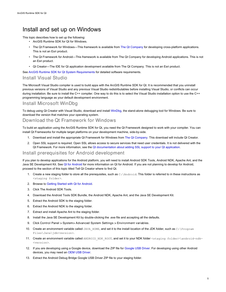
1. Create a new staging folder to store all the prerequisites, such as C:\Android. This folder is referred to in these instructions as
.
2. Browse to Getting Started with Qt for Android.
3. Click The Android SDK Tools.
4. Download the Android Tools SDK Bundle, the Android NDK, Apache Ant, and the Java SE Development Kit.
5. Extract the Android SDK to the staging folder.
6. Extract the Android NDK to the staging folder.
7. Extract and install Apache Ant to the staging folder.
8.
9. Click Control Panel > System> Advanced System Settings > Environment variables.
10. Create an environment variable called JAVA_HOME, and set it to the install location of the JDK folder, such as C:\Program
Install the Java SE Development Kit by double-clicking the .exe file and accepting all the defaults.
Files\Java\jdk.
11. Create an environment variable called ANDROID_NDK_ROOT, and set it to your NDK folder \android-ndk-
.
If you are developing using a Google device, download the ZIP file for Google USB Driver. For developing using other Android
devices, you may need an OEM USB Driver.
12.
13. Extract the Android Debug Bridge Google USB Driver ZIP file to your staging folder.
5
�
ArcGIS Runtime SDK for Qt
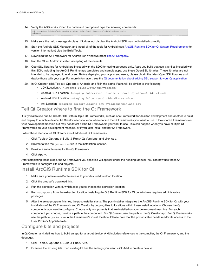
14. Verify the ADB works. Open the command prompt and type the following commands:
cd
\adt-bundle-windows--\sdk\platform-tools
adb.exe
15. Make sure the help message displays. If it does not display, the Android SDK was not installed correctly.
16. Start the Android SDK Manager, and install all of the tools for Android (see ArcGIS Runtime SDK for Qt System Requirements for
version information) plus the Build Tools.
17. Download the Qt Framework for Android (on Windows) from The Qt Company.
18. Run the Qt for Android installer, accepting all the defaults.
19. OpenSSL libraries for Android are included with the SDK for testing purposes only. Apps you build that use prf files included with
this SDK, including the ArcGIS Runtime app templates and sample apps, use these OpenSSL libraries. These libraries are not
intended to be deployed to end users. Before deploying your app to end users, please obtain the latest OpenSSL libraries and
deploy those with your app. For more information, see the Qt documentation about adding SSL support to your Qt application.
In Qt Creator, click Tools > Options > Android and fill in the paths. Paths will be similar to the following:
20.
JDK Location: C:\Program Files\Java\jdk
•
• Android SDK Location: \adt-bundle-windows--\sdk
• Android NDK Location: \android-ndk-
• Ant Location: \apache-ant-\bin\ant.bat
Tell Qt Creator where to find the Qt Framework
It is typical to use one Qt Creator IDE with multiple Qt Frameworks, such as one Framework for desktop development and another to build
and deploy to a mobile device. Qt Creator needs to know where to find the Qt Frameworks you want to use. It looks for Qt Frameworks on
your development machine but may not detect all the Qt Frameworks you want to use. This can happen when you have multiple Qt
Frameworks on your development machine, or if you later install another Qt Framework.
Follow these steps to tell Qt Creator about additional Qt Frameworks:
1. Click Tools > Options > Build & Run > Qt Versions, and click Add.
2. Browse to find the qmake.exe file in the installation location.
3. Provide a suitable name for this Qt Framework.
4. Click Apply.
After completing these steps, the Qt Framework you specified will appear under the heading Manual. You can now use these Qt
Frameworks to configure kits and projects.
Install ArcGIS Runtime SDK for Qt
1. Make sure you have read/write access to your desired download location.
2. Click the product's download link.
3. Run the extraction wizard, which asks you to choose the extraction location.
4. Run setup.exe from the extraction location. Installing ArcGIS Runtime SDK for Qt on Windows requires administrative
privileges.
5. After the setup program finishes, the post-installer starts. The post-installer integrates the ArcGIS Runtime SDK for Qt with your
installation of the Qt Framework and Qt Creator by copying files to locations within those install locations. Choose the Qt
components you want to configure. Choose only components that are installed on your development machine. For each
component you choose, provide a path to the component. For Qt Creator, use the path to the Qt Creator app. For Qt Frameworks,
use the path to qmake.exe in the Framework's install location. Please note that the post-installer needs read/write access to the
User Profile's AppData folder.
Configure kits and projects
In Qt Creator, a kit defines how to build an app for a target device. A kit includes references to the compiler, the Qt Framework, and the
debugger.
1. Click Tools > Options > Build & Run > Kits.
2. Examine the existing kits. If no existing kit has the settings you want, click Add to create a new kit.
6
�ArcGIS Runtime SDK for Qt
3. Give the kit an appropriate name.
4. Set Device type to Desktop.
5. Choose the appropriate compiler.
6. Choose the CDB Engine debugger. If the debugger you want does not appear in the list of options, make sure that you have
installed the WinDbg debugger, as mentioned in a previous step.
7. Choose the Qt Version.
8. Click OK or Apply to finish creating the kit.
9. Repeat the previous steps to add Android kits if you installed the Qt Framework for Android.
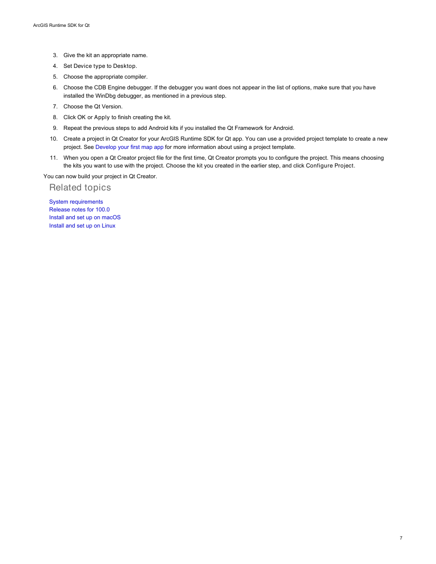
10. Create a project in Qt Creator for your ArcGIS Runtime SDK for Qt app. You can use a provided project template to create a new
project. See Develop your first map app for more information about using a project template.
11. When you open a Qt Creator project file for the first time, Qt Creator prompts you to configure the project. This means choosing
the kits you want to use with the project. Choose the kit you created in the earlier step, and click Configure Project.
You can now build your project in Qt Creator.
Related topics
System requirements
Release notes for 100.0
Install and set up on macOS
Install and set up on Linux
7
�
ArcGIS Runtime SDK for Qt
Install and set up on macOS
This topic describes how to set up the following:
• ArcGIS Runtime SDK for Qt for macOS.
• The Qt Framework for macOS—This framework is available from The Qt Company for developing cross-platform applications.
This is not an Esri product.
• The Qt Framework for Android—This framework is available from The Qt Company for developing Android applications. This is not
an Esri product.
• The Qt Framework for iOS—This framework is available from The Qt Company for developing iOS applications. This is not an Esri
product.
• Qt Creator—The IDE for Qt application development available from The Qt Company. This is not an Esri product.
See ArcGIS Runtime SDK for Qt System Requirements for detailed software requirements.
Install Xcode
Install Xcode and the Xcode command line tools from https://developer.apple.com/downloads/index.action. You will need a developer
account to log in. Follow the documentation at Apple's Web site.
Download the Qt Framework for macOS
To build an application using the ArcGIS Runtime SDK for Qt, you need the Qt Framework designed to work with your compiler. You can
install Qt Frameworks for multiple target platforms on your development machine, side-by-side.
1. Download and install the Qt Framework for macOS from The Qt Company. Be sure to install Qt Creator along with the Qt
Framework.
2. Open SSL support is required. Open SSL allows access to secure services that need user credentials. It is not delivered with the
Qt Framework. For more information, see the Qt documentation about adding SSL support to your Qt application.
Install prerequisites for Android development
If you plan to develop applications for the Android platform, you will need to install Android SDK Tools, Android NDK, Apache Ant, and
Java SE Development Kit. See Qt for Android for more information on Qt for Android. If you are not planning to develop for Android,
proceed to the section of this topic titled Install prerequisites for iOS development.
1. Create a new staging folder to store all the prerequisites, such as ~/Android. This folder is referred to in these instructions as
.
2. Browse to Getting Started with Qt for Android.
3. Click The Android SDK Tools.
4. Download the Android Tools SDK Bundle (Mac 64-bit), the Android NDK (Mac 64-bit), Apache Ant, and the Java SE Development
Kit (dmg for Mac). Be sure to get these Android tools. Android Studio is not required.
5. Extract the Android SDK to the staging folder.
6. Start the Android SDK Manager, and install all of the tools for Android (see ArcGIS Runtime SDK for Qt System Requirements for
version information) plus the Build Tools.
Install the Java SE Development Kit.
7. Extract the Android NDK to the staging folder.
8. Extract and install Apache Ant in the staging folder.
9.
10. Download the Qt Framework for Android (on Mac) from The Qt Company.
11. Run the Qt Framework for Android installer, accepting all the defaults.
12. OpenSSL libraries for Android are included with the SDK for testing purposes only. Apps you build that use prf files included with
this SDK, including the ArcGIS Runtime app templates and sample apps, use these OpenSSL libraries. These libraries are not
intended to be deployed to end users. Before deploying your app to end users, please obtain the latest OpenSSL libraries and
deploy those with your app. For more information, see the Qt documentation about adding SSL support to your Qt application.
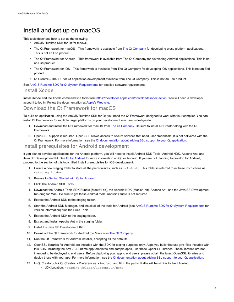
In Qt Creator, click Qt Creator > Preferences > Android, and fill in the paths. Paths will be similar to the following:
•
JDK Location: /CurrentJDK/Home
13.
8
�


 2023年江西萍乡中考道德与法治真题及答案.doc
 2012年重庆南川中考生物真题及答案.doc
 2013年江西师范大学地理学综合及文艺理论基础考研真题.doc
 2020年四川甘孜小升初语文真题及答案I卷.doc
 2020年注册岩土工程师专业基础考试真题及答案.doc
 2023-2024学年福建省厦门市九年级上学期数学月考试题及答案.doc
 2021-2022学年辽宁省沈阳市大东区九年级上学期语文期末试题及答案.doc
 2022-2023学年北京东城区初三第一学期物理期末试卷及答案.doc
 2018上半年江西教师资格初中地理学科知识与教学能力真题及答案.doc
 2012年河北国家公务员申论考试真题及答案-省级.doc
 2020-2021学年江苏省扬州市江都区邵樊片九年级上学期数学第一次质量检测试题及答案.doc
 2022下半年黑龙江教师资格证中学综合素质真题及答案.doc