logo资料库

Radu Bogdan Rusu's Phd Thesis(PCL在这篇论文中诞生).pdf

第1页 / 共284页
第2页 / 共284页
第3页 / 共284页
第4页 / 共284页
第5页 / 共284页
第6页 / 共284页
第7页 / 共284页
第8页 / 共284页
资料共284页,剩余部分请下载后查看
Abstract
Contents
List of Figures
List of Tables
List of Algorithms
List of Symbols and Notations
Introduction
Why ``3D'' Semantic Perception?
Computational Problems
Publications
Thesis Outline and Contributions
Semantic 3D Object Mapping Kernel
3D Map Representations
Data Acquisition
Data Representation
Summary
Mapping System Architectures
3D Point Feature Representations
The ``Neighborhood'' Concept
Filtering Outliers
Surface Normals and Curvature Estimates
Point Feature Histograms (PFH)
Fast Point Feature Histograms (FPFH)
Feature Persistence
Related Work
Summary
From Partial to Complete Models
Point Cloud Registration
Data Resampling
Related Work
Summary
Clustering and Segmentation
Fitting Simplified Geometric Models
Basic Clustering Techniques
Finding Edges in 3D Data
Segmentation via Region Growing
Application Specific Model Fitting
Summary
Mapping of Indoor Environments
Static Scene Interpretation
Heuristic Rule-based Functional Reasoning
Learning the Scene Structure
Exporting and Using the Models
Summary
Surface and Object Class Learning
Learning Local Surface Classes
Generating Training Data
Most Discriminative Feature Selection
Supervised Class Learning using Support Vector Machines
Fast Geometric Point Labeling
Global Fast Point Feature Histograms for Object Classification
Summary
Parametric Shape Model Fitting
Object Segmentation
Hybrid Shape-Surface Object Models
Summary
Applications
Table Cleaning in Dynamic Environments
Real-time Collision Maps for Motion Re-Planning
Semantic Interpretation of 3D Point Cloud Maps
System Evaluation
Summary
Identifying and Opening Doors
Detecting Doors
Detecting Handles
System Evaluation
Summary
Real-time Semantic Maps from Stereo
Leaving Flatland Mapping Architecture
Visual Odometer
Spatial Decomposition
Polygonal Modeling
Merging and Refinement
Semantic Labeling
3D Mapping Performance
Semantic Map Usage and Applications
Hybrid Model Visualizations
Motion Planning for Navigation
Summary
Conclusion
3D Geometry Primer
Euclidean Geometry and Coordinate Systems
Distance Metrics
Geometric Shapes
Sample Consensus
Machine Learning
Support Vector Machines
Conditional Random Fields
Bibliography
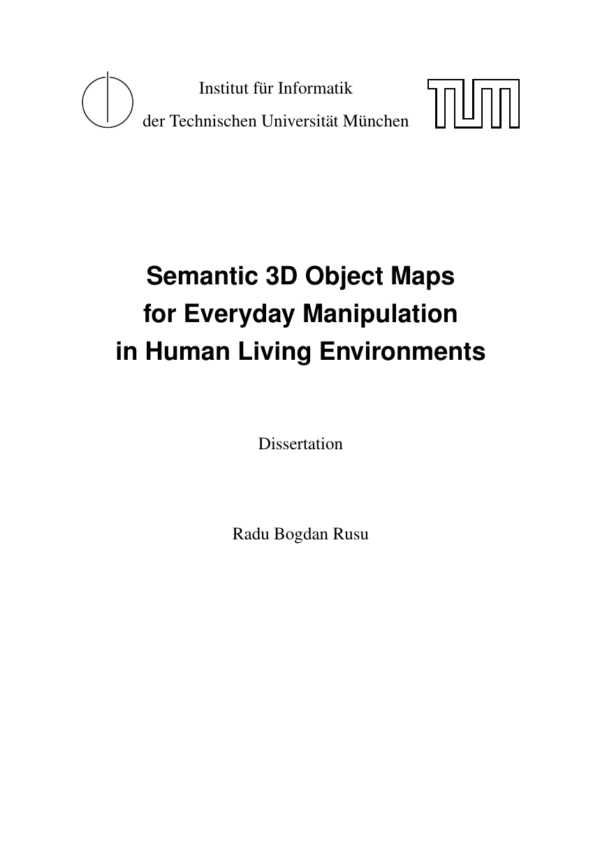
Institut für Informatik der Technischen Universität München Semantic 3D Object Maps for Everyday Manipulation in Human Living Environments Dissertation Radu Bogdan Rusu
TECHNISCHE UNIVERSITÄT MÜNCHEN Institut für Informatik Semantic 3D Object Maps for Everyday Manipulation in Human Living Environments Radu Bogdan Rusu Vollständiger Abdruck der von der Fakultät für Informatik der Technischen Universität München zur Erlangung des akademischen Grades eines Doktors der Naturwissenschaften (Dr. rer. nat.) genehmigten Dissertation. Vorsitzender: Univ.-Prof. Nassir Navab, Ph.D. Prüfer der Dissertation: 1. Univ.-Prof. Michael Beetz, Ph.D. 2. Prof. Kurt Konolige, Ph.D., Stanford University, Palo Alto, USA 3. Prof. Gary Bradski, Ph.D., Stanford University, Palo Alto, USA Die Dissertation wurde am 14.07.2009 bei der Technischen Universität München eingereicht und durch die Fakultät für Informatik am 18.09.2009 angenommen.
Abstract ENVIRONMENT models serve as important resources for an autonomous robot by provid- ing it with the necessary task-relevant information about its habitat. Their use enables robots to perform their tasks more reliably, flexibly, and efficiently. As autonomous robotic platforms get more sophisticated manipulation capabilities, they also need more expressive and comprehensive environment models: for manipulation purposes their models have to in- clude the objects present in the world, together with their position, form, and other aspects, as well as an interpretation of these objects with respect to the robot tasks. This thesis proposes Semantic 3D Object Models as a novel representation of the robot’s operating environment that satisfies these requirements and shows how these models can be automatically acquired from dense 3D range data. The thesis contributes in two important ways to the research area acquisition of environment models. The first contribution is a novel framework for Semantic 3D Object Model acquisition from Point Cloud Data. The functionality of this framework includes robust alignment and integra- tion mechanisms for partial data views, fast segmentation into regions based on local surface characteristics, and reliable object detection, categorization, and reconstruction. The computed models are semantic in that they infer structures in the data that are meaningful with respect to the robot task. Examples of such objects are doors and handles, supporting planes, cupboards, walls, or movable smaller objects. The second key contribution is point cloud representations based on 3D point feature his- tograms (3D-PFHs), which model the local surface geometry for each point. 3D-PFHs dis- tinguish themselves from alternative 3D feature representations in that they are very fast to compute, robust against variations in pose and sampling density, and cope well with noisy sensor data. Their use substantially improves the quality of the Semantic 3D Object Models acquired, as well as the speed with which they are computed. 3D-PFHs come with specific software tools that allow for the learning of surface characteristics based on their underlying geometry, the assembly of most distinctive 3D points from a given cloud, as well as limited view-invariant correspondence search for 3D registration. III
The contributions presented in this thesis have been fully implemented and empirically evaluated on different robots performing different tasks in different environments. The first demonstration relates to the problem of cleaning tables by disposing the objects on them into a garbage bin with a personal robotic assistant in the presence of humans in its working space. The framework for Semantic 3D Object Model acquisition is demonstrated and used to con- struct dynamic 3D collision maps, annotate the surrounding world with semantic labels, and extract object clusters supported by tables in real-time performance. The second demonstra- tion presents an on-the-fly model acquisition system for door and handle identification from noisy 3D point cloud maps. Experimental results show good robustness in the presence of large variations in the data, without suffering from the classical under or over-fitting problems usually associated with similar initiatives based on machine learning classifiers. The third ap- plication example tackles the problem of real-time semantic mapping of indoor environments with different kinds of terrain classes, such as walkways and stairs, for the navigation of a six-legged robot with terrain-specific walking modes.
Contents Abstract Contents List of Figures List of Tables List of Algorithms List of Symbols and Notations 1 Introduction 1.1 Why “3D” Semantic Perception? . . . . . . . . . . . . . . . . . . . . . . . . 1.2 Computational Problems . . . . . . . . . . . . . . . . . . . . . . . . . . . . 1.3 Publications . . . . . . . . . . . . . . . . . . . . . . . . . . . . . . 1.4 Thesis Outline and Contributions . . . . . . . . . . . . . . . . . . . . . . . . . . . . . I Semantic 3D Object Mapping Kernel 2 3D Map Representations . . . 2.1 Data Acquisition . . 2.2 Data Representation . . 2.3 Summary . . . . . . . . . . . . . . . . . . . . . . . . . . . . . . . . . . . . . . . . . . . . . . . . . . . . . . . . . . . . . . . . . . . . . . . . . . . . . . . . . . . . . . . . . . . . 3 Mapping System Architectures 4 3D Point Feature Representations V III V IX XVII XIX XXI 1 3 4 6 11 15 17 17 23 28 31 37
. . . . . . . . . . . . . . . . . . . . . . . . . . . . 4.1 The “Neighborhood” Concept 4.2 Filtering Outliers . . . . . . . . . . . . . . . . . . . . . . . . . . . . . 4.3 Surface Normals and Curvature Estimates . . . . . . . . . . . . . . . . . . . 4.4 Point Feature Histograms (PFH) . . . . . . . . . . . . . . . . . . . . . . . . 4.5 Fast Point Feature Histograms (FPFH) . . . . . . . . . . . . . . . . . . . . . . . . . . . . . . . . . . . . . . . . . . . . . . . . . . 4.6 Feature Persistence . . 4.7 Related Work . . . . . . . . . . . . . . . . . . . . . . . . . . . . . . . . . . . . . . . . . . . . . . . . . . . . . . . . . . . . . . . . . 4.8 Summary . . . . . 5 From Partial to Complete Models 5.1 Point Cloud Registration . . . . . . . . . . . . . . . . . . . . . . . . . . . . 5.2 Data Resampling . . . . . . . . . . . . . . . . . . . . . . . . . . . . . . . . . . . . . . . . . . . . . . . . . . . . . . . . . . 5.3 Related Work . . 5.4 Summary . . . . . . . . . . . . . . . . . . . . . . . . . . . . . . . . . . . . . . . . . . 6 Clustering and Segmentation 6.1 Fitting Simplified Geometric Models . . . . . . . . . . . . . . . . . . . . . . 6.2 Basic Clustering Techniques . . . . . . . . . . . . . . . . . . . . . . . . . . 6.3 Finding Edges in 3D Data . . . . . . . . . . . . . . . . . . . . . . . . . . . . 6.4 Segmentation via Region Growing . . . . . . . . . . . . . . . . . . . . . . . 6.5 Application Specific Model Fitting . . . . . . . . . . . . . . . . . . . . . . . . . . . . . . . . . . . . . . . . . . . . . . . . . . 6.6 Summary . . . . . . . . . II Mapping of Indoor Environments 39 42 45 50 57 61 65 67 69 69 77 81 83 85 86 88 90 91 93 96 97 7 Static Scene Interpretation 99 7.1 Heuristic Rule-based Functional Reasoning . . . . . . . . . . . . . . . . . . 101 7.2 Learning the Scene Structure . . . . . . . . . . . . . . . . . . . . . . . . . . 111 7.3 Exporting and Using the Models . . . . . . . . . . . . . . . . . . . . . . . . 117 . . . . . . . . . . . . . . . . . . . . . . . . . . . 120 7.4 Summary . . . . . . . . . 8 Surface and Object Class Learning 123 8.1 Learning Local Surface Classes . . . . . . . . . . . . . . . . . . . . . . . . . 125 8.1.1 Generating Training Data . . . . . . . . . . . . . . . . . . . . . . . . 127 8.1.2 Most Discriminative Feature Selection . . . . . . . . . . . . . . . . . 130 Supervised Class Learning using Support Vector Machines . . . . . . 133 8.1.3
分享到:
收藏