OGC 02-070
Open GIS Consortium Inc.
Date: 2002-09-19
Reference number of this OpenGIS® Project Document: OGC 02-070
Version: 1.0.0
Category: Proposed OpenGIS® OGC Implementation Specification
Editor: William Lalonde
Styled Layer Descriptor Implementation Specification
Document type:
Document stage:
Document language: English
OpenGIS® Implementation Specification
Adopted Specification
�
OGC 02-070
Copyright 2000, 2001, 2002 Compusult Limited
Copyright 2000, 2001, 2002 CubeWerx Inc.
Copyright 2000, 2001, 2002 Environmental Systems Research Institute, Inc. (ESRI)
Copyright 2000, 2001, 2002 Intergraph Corporation
Copyright 2000, 2001, 2002 IONIC Software s.a.
Copyright 2000, 2001, 2002 Laser-Scan Limited
Copyright 2000, 2001, 2002 Syncline Inc.
The companies listed above have granted the Open GIS Consortium, Inc. (OGC) a nonexclusive, royalty-free, paid up, worldwide
license to copy and distribute this document and to modify this document and distribute copies of the modified version.
This document does not represent a commitment to implement any portion of this specification in any company’s products.
OGC’s Legal, IPR and Copyright Statements are found at http://www.opengis.org/legal/ipr.htm
NOTICE
Permission to use, copy, and distribute this document in any medium for any purpose and without fee or royalty is hereby granted,
provided that you include the above list of copyright holders and the entire text of this NOTICE.
We request that authorship attribution be provided in any software, documents, or other items or products that you create pursuant to
the implementation of the contents of this document, or any portion thereof.
No right to create modifications or derivatives of OGC documents is granted pursuant to this license. However, if additional
requirements (as documented in the Copyright FAQ at http://www.opengis.org/legal/ipr_faq.htm) are satisfied, the right to create
modifications or derivatives is sometimes granted by the OGC to individuals complying with those requirements.
THIS DOCUMENT IS PROVIDED "AS IS," AND COPYRIGHT HOLDERS MAKE NO REPRESENTATIONS OR
WARRANTIES, EXPRESS OR IMPLIED, INCLUDING, BUT NOT LIMITED TO, WARRANTIES OF MERCHANTABILITY,
FITNESS FOR A PARTICULAR PURPOSE, NON-INFRINGEMENT, OR TITLE; THAT THE CONTENTS OF THE
DOCUMENT ARE SUITABLE FOR ANY PURPOSE; NOR THAT THE IMPLEMENTATION OF SUCH CONTENTS WILL
NOT INFRINGE ANY THIRD PARTY PATENTS, COPYRIGHTS, TRADEMARKS OR OTHER RIGHTS.
COPYRIGHT HOLDERS WILL NOT BE LIABLE FOR ANY DIRECT, INDIRECT, SPECIAL OR CONSEQUENTIAL
DAMAGES ARISING OUT OF ANY USE OF THE DOCUMENT OR THE PERFORMANCE OR IMPLEMENTATION OF THE
CONTENTS THEREOF.
The name and trademarks of copyright holders may NOT be used in advertising or publicity pertaining to this document or its contents
without specific, written prior permission. Title to copyright in this document will at all times remain with copyright holders.
RESTRICTED RIGHTS LEGEND. Use, duplication, or disclosure by government is subject to restrictions as set forth in subdivision
(c)(1)(ii) of the Right in Technical Data and Computer Software Clause at DFARS 252.227.7013
OpenGIS® is a trademark or registered trademark of Open GIS Consortium, Inc. in the United States and in other countries.
ii
© OGC 2002 – All rights reserved
�
OGC 02-070
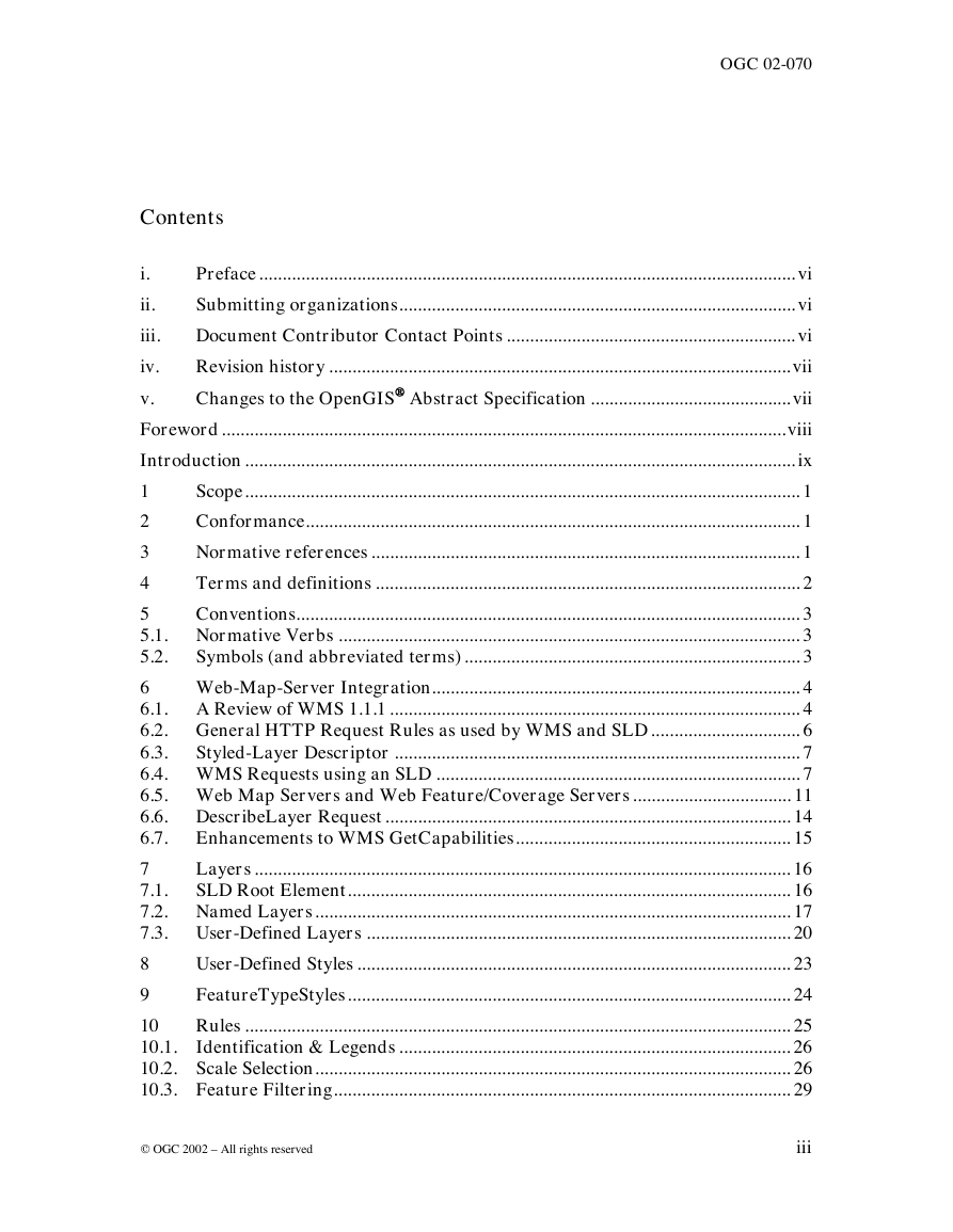
Contents
i.
ii.
iii.
iv.
Preface ................................................................................................................... vi
Submitting organizations..................................................................................... vi
Document Contributor Contact Points .............................................................. vi
Revision history ...................................................................................................vii
Changes to the OpenGIS Abstract Specification ...........................................vii
v.
Foreword.........................................................................................................................viii
Introduction ...................................................................................................................... ix
Scope....................................................................................................................... 1
1
2
Conformance.......................................................................................................... 1
Normative references ............................................................................................ 1
3
4
Terms and definitions ........................................................................................... 2
5
Conventions............................................................................................................ 3
5.1. Normative Verbs ................................................................................................... 3
5.2.
Symbols (and abbreviated terms) ........................................................................ 3
6
Web-Map-Server Integration............................................................................... 4
6.1. A Review of WMS 1.1.1 ........................................................................................ 4
6.2. General HTTP Request Rules as used by WMS and SLD ................................ 6
6.3.
Styled-Layer Descriptor ....................................................................................... 7
6.4. WMS Requests using an SLD .............................................................................. 7
6.5. Web Map Servers and Web Feature/Coverage Servers .................................. 11
6.6. DescribeLayer Request ....................................................................................... 14
6.7. Enhancements to WMS GetCapabilities........................................................... 15
Layers ................................................................................................................... 16
7
7.1.
SLD Root Element............................................................................................... 16
7.2. Named Layers...................................................................................................... 17
7.3. User-Defined Layers ........................................................................................... 20
8
User-Defined Styles ............................................................................................. 23
FeatureTypeStyles............................................................................................... 24
9
10
Rules ..................................................................................................................... 25
10.1. Identification & Legends .................................................................................... 26
10.2. Scale Selection...................................................................................................... 26
10.3. Feature Filtering.................................................................................................. 29
© OGC 2002 – All rights reserved
iii
�
OGC 02-070
39
11
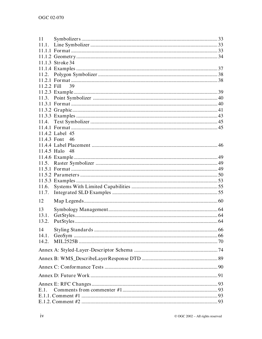
Symbolizers .......................................................................................................... 33
11.1. Line Symbolizer................................................................................................... 33
11.1.1 Format .................................................................................................................. 33
11.1.2 Geometry.............................................................................................................. 34
11.1.3 Stroke 34
11.1.4 Examples .............................................................................................................. 37
11.2. Polygon Symbolizer............................................................................................. 38
11.2.1 Format .................................................................................................................. 38
11.2.2 Fill
11.2.3 Example................................................................................................................ 39
11.3. Point Symbolizer ................................................................................................. 40
11.3.1 Format .................................................................................................................. 40
11.3.2 Graphic................................................................................................................. 41
11.3.3 Examples .............................................................................................................. 43
11.4. Text Symbolizer................................................................................................... 45
11.4.1 Format .................................................................................................................. 45
11.4.2 Label 45
11.4.3 Font 46
11.4.4 Label Placement .................................................................................................. 46
11.4.5 Halo 48
11.4.6 Example................................................................................................................ 49
11.5. Raster Symbolizer ............................................................................................... 49
11.5.1 Format .................................................................................................................. 49
11.5.2 Parameters ........................................................................................................... 50
11.5.3 Examples .............................................................................................................. 53
11.6. Systems With Limited Capabilities ................................................................... 55
11.7. Integrated SLD Examples .................................................................................. 55
12 Map Legends........................................................................................................ 60
13
Symbology Management..................................................................................... 64
13.1. GetStyles............................................................................................................... 64
13.2. PutStyles............................................................................................................... 64
14
Styling Standards ................................................................................................ 66
14.1. GeoSym ................................................................................................................ 66
14.2. MIL2525B ............................................................................................................ 70
Annex A: Styled-Layer-Descriptor Schema ................................................................. 74
Annex B: WMS_DescribeLayerResponse DTD ........................................................... 89
Annex C: Conformance Tests ........................................................................................ 90
Annex D: Future Work................................................................................................... 91
Annex E: RFC Changes.................................................................................................. 93
E.1. Comments from commenter #1.......................................................................... 93
E.1.1. Comment #1 .......................................................................................................... 93
E.1.2. Comment #2 .......................................................................................................... 93
iv
© OGC 2002 – All rights reserved
�
OGC 02-070
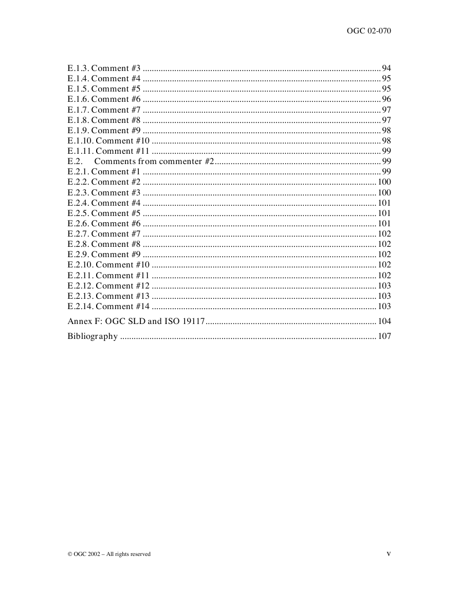
E.1.3. Comment #3 .......................................................................................................... 94
E.1.4. Comment #4 .......................................................................................................... 95
E.1.5. Comment #5 .......................................................................................................... 95
E.1.6. Comment #6 .......................................................................................................... 96
E.1.7. Comment #7 .......................................................................................................... 97
E.1.8. Comment #8 .......................................................................................................... 97
E.1.9. Comment #9 .......................................................................................................... 98
E.1.10. Comment #10 ...................................................................................................... 98
E.1.11. Comment #11 ...................................................................................................... 99
E.2. Comments from commenter #2.......................................................................... 99
E.2.1. Comment #1 .......................................................................................................... 99
E.2.2. Comment #2 ........................................................................................................ 100
E.2.3. Comment #3 ........................................................................................................ 100
E.2.4. Comment #4 ........................................................................................................ 101
E.2.5. Comment #5 ........................................................................................................ 101
E.2.6. Comment #6 ........................................................................................................ 101
E.2.7. Comment #7 ........................................................................................................ 102
E.2.8. Comment #8 ........................................................................................................ 102
E.2.9. Comment #9 ........................................................................................................ 102
E.2.10. Comment #10 .................................................................................................... 102
E.2.11. Comment #11 .................................................................................................... 102
E.2.12. Comment #12 .................................................................................................... 103
E.2.13. Comment #13 .................................................................................................... 103
E.2.14. Comment #14 .................................................................................................... 103
Annex F: OGC SLD and ISO 19117............................................................................ 104
Bibliography .................................................................................................................. 107
© OGC 2002 – All rights reserved
v
�
OGC 02-070
i. Preface
This document explains how the Web Map Server (WMS 1.0 [1] & 1.1 [2]) specification
can be extended to allow user-defined symbolization of feature data. It should be read in
conjunction with the latest version WMS specification. At the time of writing the latest
version WMS specification was defined by the WMS 1.1.1 Specification.
ii.
Submitting organizations
This Implementation Specification is being submitted to the OGC by the following
organizations:
CubeWerx Inc (Editor).
Syncline
Ionic Software s.a.
iii. Document Contributor Contact Points
All questions regarding this submission should be directed to the editor or the submitters
listed in Section ii above. Following is a list of all contributors to the Implementation
Specification.
COMPANY
Compusult Ltd.
CONTACT
Larry Bouzane
ADDRESS
PHONE/FAX EMAIL
larry@compusult.nf.ca
CubeWerx Inc.
Peter Vretanos
CubeWerx Inc.
Craig Bruce
vi
200 rue Montcalm
Suite R-13
Hull, Quebec
Canada
J8Y 3B5
200 rue Montcalm
Suite R-13
Hull, Quebec
Phone:
416-701-1985
Fax:
819-771-8388
Phone:
819-771-8303
Ext 205
pvretano@cubewerx.com
csbruce@cubewerx.com
© OGC 2002 – All rights reserved
�
Canada
J8Y 3B5
Fax:
819-771-8388
ESRI
ESRI
Galdos Systems Inc. Ron Lake
Marwa Mabrouk
Ivan Cheung
John Vincent
Intergraph Corp.
Ionic Software s.a. Dimitri Monie
Laser-Scan Ltd.
m-spatial
Seb Lessware
Adrian Cuthbert
Syncline
US Army ERDC
Raj Singh
Dan Specht
OGC 02-070
mmabrouk@esri.com
icheung@esri.com
rlake@galdosinc.com
jtvincen@intergraph.com
dimitri.monie@ionicsoft.com
sebl@lsl.co.uk
adrian.cuthbert@m-spatial.com
rs@syncline.com
specht@tec.army.mil
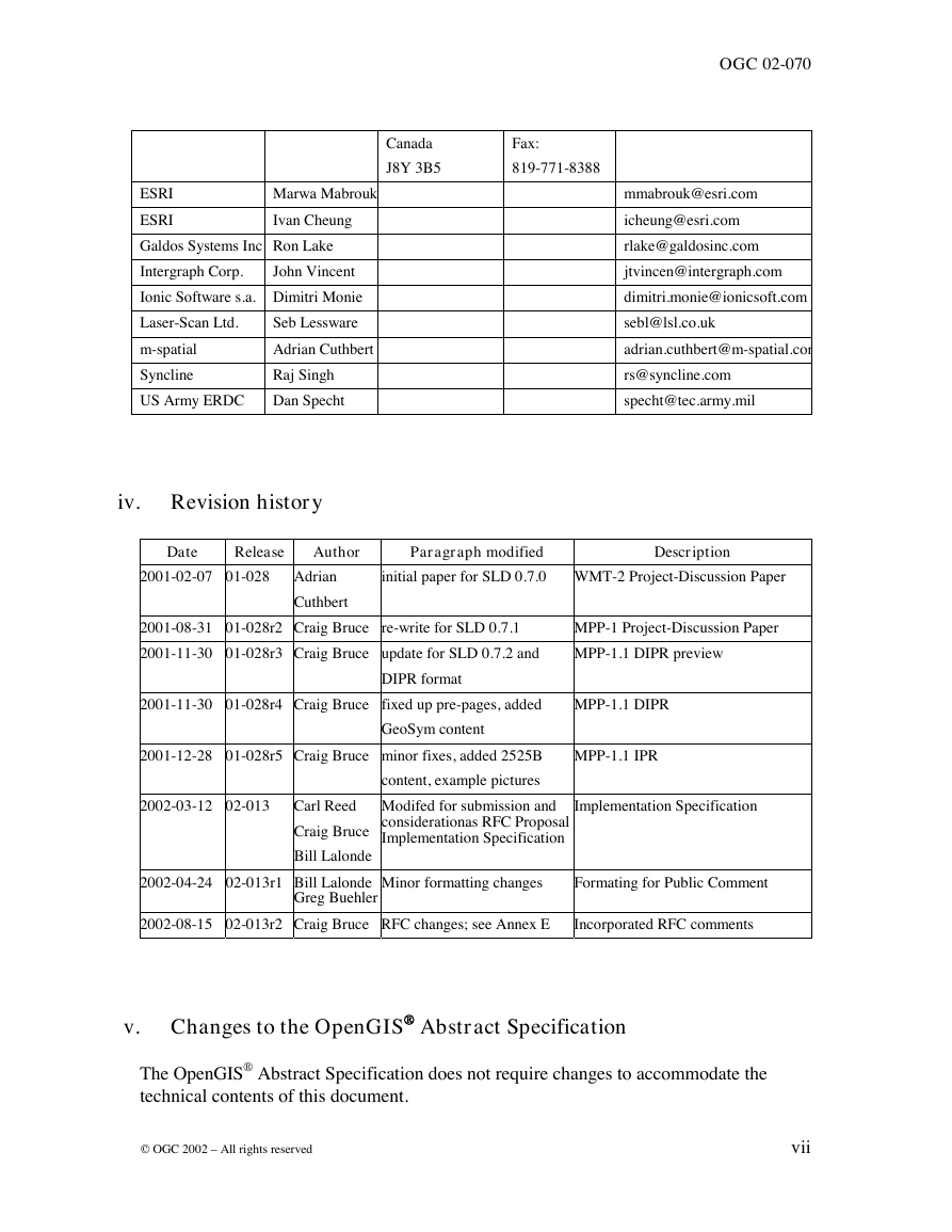
iv. Revision history
Date
Release
Author
Paragraph modified
Description
2001-02-07 01-028 Adrian
Cuthbert
initial paper for SLD 0.7.0 WMT-2 Project-Discussion Paper
2001-08-31 01-028r2 Craig Bruce re-write for SLD 0.7.1
2001-11-30 01-028r3 Craig Bruce update for SLD 0.7.2 and
MPP-1 Project-Discussion Paper
MPP-1.1 DIPR preview
2001-11-30 01-028r4 Craig Bruce fixed up pre-pages, added
MPP-1.1 DIPR
GeoSym content
DIPR format
2001-12-28 01-028r5 Craig Bruce minor fixes, added 2525B
content, example pictures
Modifed for submission and
considerationas RFC Proposal f
Implementation Specification
2002-03-12 02-013 Carl Reed
Craig Bruce
Bill Lalonde
2002-04-24 02-013r1 Bill Lalonde
Greg Buehler
MPP-1.1 IPR
Implementation Specification
Minor formatting changes
Formating for Public Comment
2002-08-15 02-013r2 Craig Bruce RFC changes; see Annex E
Incorporated RFC comments
v. Changes to the OpenGIS Abstract Specification
The OpenGIS® Abstract Specification does not require changes to accommodate the
technical contents of this document.
© OGC 2002 – All rights reserved
vii
�
OGC 02-070
Foreword
Attention is drawn to the possibility that some of the elements of this part of OGC 02-013
may be the subject of patent rights. The Open GIS Consortium Inc. shall not be held
responsible for identifying any or all such patent rights.
OGC 02-013r2 replaces OGC 01-028r5 and consists of the following part: Styled Layer
Descriptor Implementation Specification
viii
© OGC 2002 – All rights reserved
�




 2023年江西萍乡中考道德与法治真题及答案.doc
 2012年重庆南川中考生物真题及答案.doc
 2013年江西师范大学地理学综合及文艺理论基础考研真题.doc
 2020年四川甘孜小升初语文真题及答案I卷.doc
 2020年注册岩土工程师专业基础考试真题及答案.doc
 2023-2024学年福建省厦门市九年级上学期数学月考试题及答案.doc
 2021-2022学年辽宁省沈阳市大东区九年级上学期语文期末试题及答案.doc
 2022-2023学年北京东城区初三第一学期物理期末试卷及答案.doc
 2018上半年江西教师资格初中地理学科知识与教学能力真题及答案.doc
 2012年河北国家公务员申论考试真题及答案-省级.doc
 2020-2021学年江苏省扬州市江都区邵樊片九年级上学期数学第一次质量检测试题及答案.doc
 2022下半年黑龙江教师资格证中学综合素质真题及答案.doc