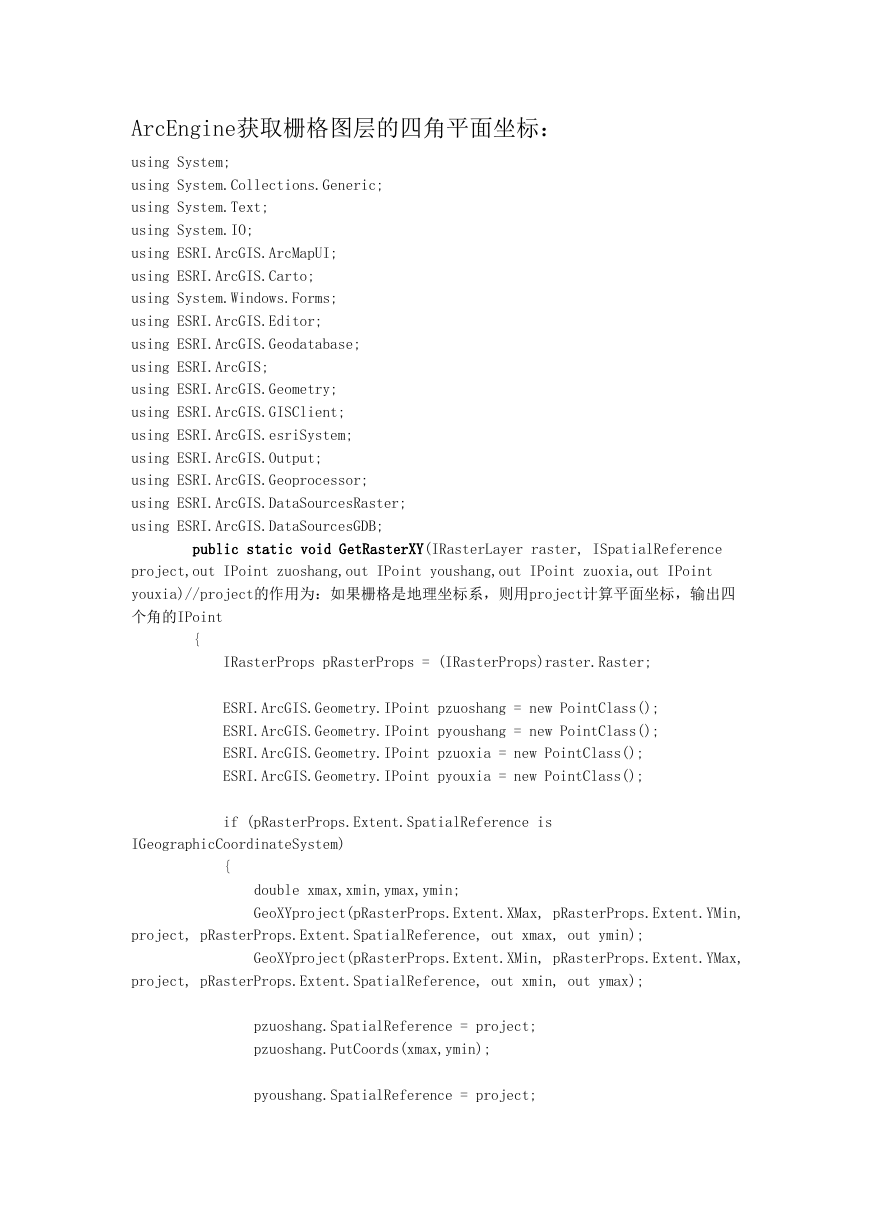
ArcEngine获取栅格图层的四角平面坐标:
using System;
using System.Collections.Generic;
using System.Text;
using System.IO;
using ESRI.ArcGIS.ArcMapUI;
using ESRI.ArcGIS.Carto;
using System.Windows.Forms;
using ESRI.ArcGIS.Editor;
using ESRI.ArcGIS.Geodatabase;
using ESRI.ArcGIS;
using ESRI.ArcGIS.Geometry;
using ESRI.ArcGIS.GISClient;
using ESRI.ArcGIS.esriSystem;
using ESRI.ArcGIS.Output;
using ESRI.ArcGIS.Geoprocessor;
using ESRI.ArcGIS.DataSourcesRaster;
using ESRI.ArcGIS.DataSourcesGDB;
public static void GetRasterXY(IRasterLayer raster, ISpatialReference
project,out IPoint zuoshang,out IPoint youshang,out IPoint zuoxia,out IPoint
youxia)//project的作用为:如果栅格是地理坐标系,则用project计算平面坐标,输出四
个角的IPoint
{
IRasterProps pRasterProps = (IRasterProps)raster.Raster;
ESRI.ArcGIS.Geometry.IPoint pzuoshang = new PointClass();
ESRI.ArcGIS.Geometry.IPoint pyoushang = new PointClass();
ESRI.ArcGIS.Geometry.IPoint pzuoxia = new PointClass();
ESRI.ArcGIS.Geometry.IPoint pyouxia = new PointClass();
if (pRasterProps.Extent.SpatialReference is
IGeographicCoordinateSystem)
{
double xmax,xmin,ymax,ymin;
GeoXYproject(pRasterProps.Extent.XMax, pRasterProps.Extent.YMin,
project, pRasterProps.Extent.SpatialReference, out xmax, out ymin);
GeoXYproject(pRasterProps.Extent.XMin, pRasterProps.Extent.YMax,
project, pRasterProps.Extent.SpatialReference, out xmin, out ymax);
pzuoshang.SpatialReference = project;
pzuoshang.PutCoords(xmax,ymin);
pyoushang.SpatialReference = project;
�
pyoushang.PutCoords(xmax, ymax);
pzuoxia.SpatialReference = project;
pzuoxia.PutCoords(xmin, ymin);
pyouxia.SpatialReference = project;
pyouxia.PutCoords(xmin, ymax);
}
else
{
pzuoshang.SpatialReference =
pRasterProps.Extent.SpatialReference;
pzuoshang.PutCoords(pRasterProps.Extent.XMax,
pRasterProps.Extent.YMin);
pyoushang.SpatialReference =
pRasterProps.Extent.SpatialReference;
pyoushang.PutCoords(pRasterProps.Extent.XMax,
pRasterProps.Extent.YMax);
pzuoxia.SpatialReference = pRasterProps.Extent.SpatialReference;
pzuoxia.PutCoords(pRasterProps.Extent.XMin,
pRasterProps.Extent.YMin);
pyouxia.SpatialReference = pRasterProps.Extent.SpatialReference;
pyouxia.PutCoords(pRasterProps.Extent.XMin,
pRasterProps.Extent.YMax);
}
zuoshang = pzuoshang;
youshang = pyoushang;
zuoxia = pzuoxia;
youxia = pyouxia;
}
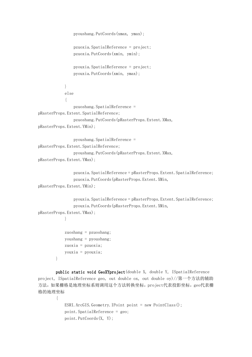
public static void GeoXYproject(double X, double Y, ISpatialReference
project, ISpatialReference geo, out double ox, out double oy)//第一个方法的辅助
方法,如果栅格是地理坐标系则调用这个方法转换坐标,project代表投影坐标,geo代表栅
格的地理坐标
{
ESRI.ArcGIS.Geometry.IPoint point = new PointClass();
point.SpatialReference = geo;
point.PutCoords(X, Y);
�
point.Project(project);
point.QueryCoords(out ox, out oy);
}
�


 2023年江西萍乡中考道德与法治真题及答案.doc
 2012年重庆南川中考生物真题及答案.doc
 2013年江西师范大学地理学综合及文艺理论基础考研真题.doc
 2020年四川甘孜小升初语文真题及答案I卷.doc
 2020年注册岩土工程师专业基础考试真题及答案.doc
 2023-2024学年福建省厦门市九年级上学期数学月考试题及答案.doc
 2021-2022学年辽宁省沈阳市大东区九年级上学期语文期末试题及答案.doc
 2022-2023学年北京东城区初三第一学期物理期末试卷及答案.doc
 2018上半年江西教师资格初中地理学科知识与教学能力真题及答案.doc
 2012年河北国家公务员申论考试真题及答案-省级.doc
 2020-2021学年江苏省扬州市江都区邵樊片九年级上学期数学第一次质量检测试题及答案.doc
 2022下半年黑龙江教师资格证中学综合素质真题及答案.doc