PostGIS-front
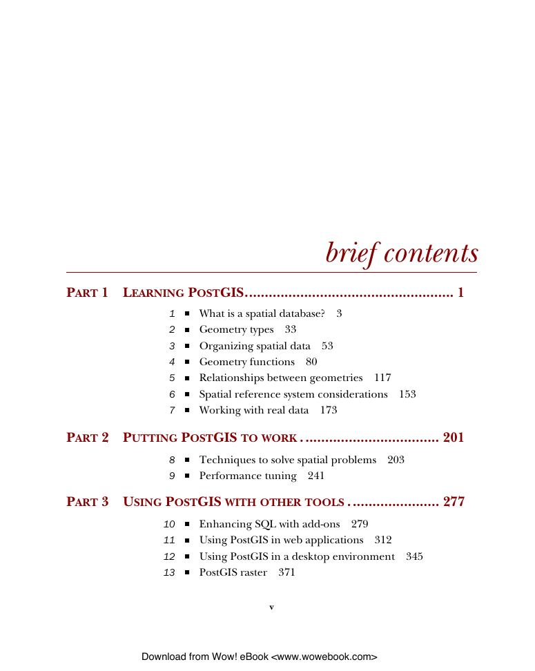
brief contents
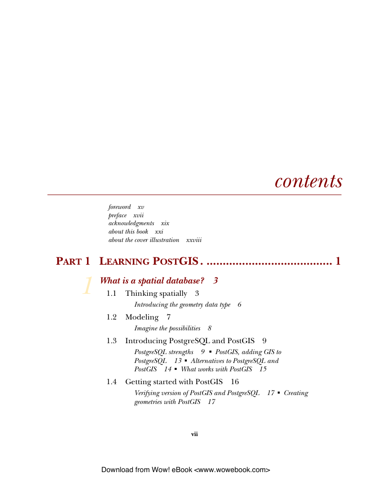
contents
foreword
preface
acknowledgments
about this book
Who should read this book?
Roadmap
Code and other conventions
Code downloads
Author Online
About the title
about the cover illustration
Part 1 Learning PostGIS
1 What is a spatial database?
1.1 Thinking spatially
1.1.1 Introducing the geometry data type
1.2 Modeling
1.2.1 Imagine the possibilities
1.3 Introducing PostgreSQL and PostGIS
1.3.1 PostgreSQL strengths
1.3.2 PostGIS, adding GIS to PostgreSQL
1.3.3 Alternatives to PostgreSQL and PostGIS
1.3.4 What works with PostGIS
1.4 Getting started with PostGIS
1.4.1 Verifying version of PostGIS and PostgreSQL
1.4.2 Creating geometries with PostGIS
1.5 Working with real data
1.5.1 Loading comma-separated data
1.5.2 Spatializing flat file data
1.5.3 Loading data from spatial data sources
1.6 Using spatial queries to analyze data
1.6.1 Proximity queries
1.6.2 Viewing spatial data with OpenJUMP
1.7 Summary
2 Geometry types
2.1 Geometry columns in PostGIS
2.1.1 The geometry_columns table
2.1.2 Interacting with the geometry_columns table
2.2 A panoply of geometries
2.2.1 What’s a geometry?
2.2.2 Points
2.2.3 Linestrings
2.2.4 Polygons
2.2.5 Collection geometries
2.2.6 Curved geometries
2.2.7 3D geometries
2.3 Summary
3 Organizing spatial data
3.1 Spatial storage approaches
3.1.1 Heterogeneous geometry columns
3.1.2 Homogeneous geometry columns
3.1.3 Table inheritance
3.2 Modeling a real city
3.2.1 Modeling using a heterogeneous geometry column
3.2.2 Modeling using homogeneous geometry columns
3.2.3 Modeling using inheritance
3.3 Using rules and triggers
3.3.1 Rules versus triggers
3.3.2 Using rules
3.3.3 Using triggers
3.4 Summary
4 Geometry functions
4.1 Constructors
4.1.1 Creating geometries from well-known text and well-known binary representations
4.1.2 Autocasting in PostgreSQL/PostGIS
4.2 Outputs
4.2.1 Well-known text and well-known binary
4.2.2 Keyhole Markup Language
4.2.3 Geography Markup Language
4.2.4 Geometry JavaScript Object Notation
4.2.5 Scalable Vector Graphics
4.2.6 Geohash
4.2.7 Examples of output functions
4.3 Accessor functions: getters and setters
4.3.1 Getting and setting spatial reference system
4.3.2 Transform to a different spatial reference
4.3.3 Geometry type
4.3.4 Coordinate and geometry dimensions
4.3.5 Geometry validity
4.3.6 Number of points that define a geometry
4.4 Measurement functions
4.4.1 Planar measures for geometry types
4.4.2 Geodetic measurement for geometry types
4.4.3 Measurement with geography type
4.5 Decomposition
4.5.1 Boxes and envelopes
4.5.2 Coordinates
4.5.3 Boundaries
4.5.4 Point marker for a geometry: centroid, point on surface, and nth point
4.5.5 Breaking down multi and collection geometries
4.6 Composition
4.6.1 Making points
4.6.2 Making polygons
4.6.3 Promoting single to multi geometries
4.7 Simplification
4.7.1 Coordinate rounding using ST_SnapToGrid
4.7.2 Simplifying geometries
4.8 Summary
5 Relationships between geometries
5.1 Introducing spatial relationship functions
5.2 Intersections
5.2.1 Segmenting linestrings with polygons
5.2.2 Clipping polygons with polygons
5.3 Specific intersection relationships
5.3.1 Interior, exterior, and boundary of a geometry
5.3.2 Contains and Within
5.3.3 Covers and CoveredBy
5.3.4 ContainsProperly
5.3.5 Overlapping geometries
5.3.6 Touching geometries
5.3.7 Crossing geometries
5.3.8 Disjoint geometries
5.4 The remainder: ST_Difference and ST_SymDifference
5.5 Nearest neighbor
5.5.1 Intersects with tolerance
5.5.2 Finding N closest objects
5.5.3 Using SQL Window functions to number results
5.6 Bounding box and geometry comparators
5.6.1 The bounding box
5.6.2 Bounding box and geometry operators
5.7 The many faces of equality
5.7.1 Spatial equality
5.7.2 Geometric equality
5.7.3 Bounding box equality
5.8 Underpinnings of relationship functions
5.8.1 The intersection matrix
5.8.2 Equality and the intersection matrix
5.8.3 Using the intersection matrix with ST_Relate
5.9 Summary
6 Spatial reference system considerations
6.1 Spatial reference system: What is it?
6.1.1 The geoid
6.1.2 Ellipsoids
6.1.3 Datum
6.1.4 Coordinate reference system
6.1.5 Projection
6.1.6 Different kinds of projections
6.2 Selecting a spatial reference system to store data
6.2.1 Pros and cons of using EPSG:4326
6.2.2 Geography data type for EPSG:4326
6.2.3 Mapping just for presentation
6.2.4 Covering the globe when distance is a concern
6.3 Determining the spatial reference system of source data
6.3.1 Guessing at a spatial reference system
6.3.2 When the spatial reference system is missing
6.4 Summary
7 Working with real data
7.1 Tools for importing/exporting data
7.1.1 PostgreSQL built-in tools
7.1.2 PostGIS packaged tools
7.1.3 OGR2OGR: all-purpose vector data loader
7.1.4 Quantum GIS Shapefile to PostGIS Import Tool
7.1.5 osm2pgsql: OpenStreetMap to PostGIS loader
7.2 Loading data
7.2.1 Getting and extracting compressed files
7.2.2 Using PostGIS and PostgreSQL tools to load data
7.2.3 Loading data with OGR2OGR
7.2.4 Importing OpenStreetMap data with osm2pgsql
7.3 Exporting data from PostGIS
7.3.1 Using pgsql2shp to dispense PostGIS data
7.3.2 Using OGR2OGR to dispense PostGIS data
7.4 Summary
Part 2 Putting PostGIS to work
8 Techniques to solve spatial problems
8.1 Proximity analysis
8.1.1 Check for intersections and measuring distances
8.1.2 Convert to different units of measurement
8.1.3 Measure large distances
8.1.4 Choose spatial reference systems when measuring area
8.2 Data tagging
8.2.1 Techniques for generating dummy data
8.2.2 Tag data to a specific region
8.2.3 Snapping points to closest linestring
8.2.4 Geocoding an address to a point on a street
8.3 Slicing and splicing linestrings
8.3.1 Create linestrings from points
8.3.2 Break linestrings into smaller segments
8.4 Slicing and splicing polygons
8.4.1 Create a single multipolygon from many multipolygon records
8.4.2 Tessellate areas
8.4.3 Create equal-area slices
8.5 Translating, scaling, and rotating geometries
8.5.1 Move a geometry along X, Y, Z
8.5.2 Increase and decrease size of geometry
8.5.3 Rotate a geometry
8.6 Summary
9 Performance tuning
9.1 The query planner
9.1.1 Planner statistics
9.2 Using explain to diagnose problems
9.2.1 Text explain versus pgAdmin III graphical explain
9.2.2 The plan without an index
9.3 Indexes and keys
9.3.1 The plan with a spatial index scan
9.3.2 Options for defining indexes
9.4 Common SQL patterns and how they affect performance
9.4.1 SELECT subselects
9.4.2 FROM subselects and basic common table expressions
9.4.3 Window functions and self-joins
9.5 System and function settings
9.5.1 Key system variables that affect plan strategy
9.5.2 Function-specific settings
9.6 Optimizing geometries
9.6.1 Fixing invalid geometries
9.6.2 Reducing number of vertices with simplification
9.6.3 Removing holes
9.6.4 Clustering
9.7 Summary
Part 3 Using PostGIS with other tools
10 Enhancing SQL with add-ons
10.1 Georeferencing with the TIGER geocoder
10.1.1 Installing the TIGER geocoder
10.1.2 Loading TIGER data
10.1.3 Geocoding and address normalization
10.1.4 Summary
10.2 Solving network routing problems with pgRouting
10.2.1 Installation
10.2.2 Shortest route
10.2.3 Traveling salesperson problem
10.2.4 Summary
10.3 Extending PostgreSQL power with PLs
10.3.1 Basic installation of PLs
10.3.2 What can you do with a non-native PL
10.4 Graphing and accessing spatial analysis libraries with PL/R
10.4.1 Getting started with PL/R
10.4.2 Saving datasets and plotting
10.4.3 Using R packages in PL/R
10.4.4 Quick primer on rgdal
10.4.5 Getting PostGIS geometries into R spatial objects
10.4.6 Outputting plots as binaries
10.5 PL/Python
10.5.1 Installing PL/Python
10.5.2 Our first PL/Python function
10.5.3 Using Python packages
10.5.4 Geocoding with PL/Python
10.6 Summary
11 Using PostGIS in web applications
11.1 GIS and the web
11.1.1 Limitations of conventional web technologies
11.1.2 Mapping servers
11.1.3 Mapping clients
11.1.4 Proprietary services
11.2 Using MapServer
11.2.1 Installing MapServer
11.2.2 Creating WMS and WFS services
11.2.3 Calling a mapping service using a reverse proxy
11.3 Using GeoServer
11.3.1 Installing GeoServer
11.3.2 Setting up PostGIS workspaces
11.3.3 Accessing PostGIS Layers via GeoServer WMS/WFS
11.4 Basics of OpenLayers and GeoExt
11.4.1 Using OpenLayers
11.4.2 Enhancing OpenLayers with GeoExt
11.5 Displaying data with server-side web scripting
11.5.1 Using PostGIS output functions with PHP
11.5.2 Displaying data in Google Earth
11.5.3 Loading custom layers with GeoExt
11.5.4 Proximity queries with PostGIS geography
11.6 Summary
12 Using PostGIS in a desktop environment
12.1 At a glance
12.1.1 Capsule review
12.1.2 Spatial database support
12.1.3 Format support
12.1.4 Web services supported
12.2 OpenJUMP Workbench
12.2.1 Feature summary
12.2.2 Register data source
12.2.3 Rendering PostGIS geometry data
12.2.4 Exporting data
12.2.5 Summary
12.3 Quantum GIS
12.3.1 Feature summary
12.3.2 Adding a PostGIS connection
12.3.3 Viewing and filtering PostGIS data
12.3.4 Connecting with other spatial databases
12.3.5 Loading other vector and raster layers
12.3.6 Exporting data
12.3.7 Summary
12.4 uDig
12.4.1 Feature summary
12.4.2 Connecting to PostGIS and other spatial databases
12.4.3 Viewing and filtering PostGIS data
12.4.4 Exporting data
12.4.5 Summary
12.5 gvSIG
12.5.1 Feature summary
12.5.2 Adding a PostGIS layer to a view
12.5.3 Exporting data
12.5.4 Connecting to other spatial databases
12.6 Summary
13 PostGIS raster
13.1 What is PostGIS raster?
13.1.1 What is raster data and how is it different from vector data?
13.1.2 Why analyze raster data?
13.1.3 Getting started with raster support in PostGIS
13.2 Storing and loading raster data
13.2.1 Options for storage
13.2.2 Using a loader to load data
13.3 Raster maintenance tables and functions
13.3.1 raster_columns metadata table
13.3.2 AddRasterColumn function
13.3.3 Other management functions
13.4 Commonly used functions
13.4.1 Common accessors
13.4.2 Georeferencing functions
13.5 Combining raster processing with vector processing
13.5.1 Pixel value getters and setters
13.5.2 Intersects and Intersections
13.5.3 Adding bands
13.5.4 Adding additional attributes to raster records
13.6 Exporting raster data into other raster formats
13.6.1 Gdal_translate basics to convert to other formats
13.6.2 Using gdalwarp to transform from one spatial ref to another
13.7 Viewing raster data with MapServer
13.8 The future of PostGIS raster support
13.8.1 Input/output functionality
13.8.2 Open source viewing tools
13.8.3 Database raster functions
13.9 Summary
appendix A Additional resources
PostGIS-focused tutorials and sites
Getting-started tutorials
Important GIS sites
Noteworthy PostGIS blogs and sites
Noteworthy R, PL/R sites, and newsgroups
pgRouting installation and examples
PL/Python installation and examples
Raster-related information
Open source tools and offerings
Installers and self-contained suites that include/work with PostGIS
Free open source desktop GIS
Extract Transform Load (ETL)
Proprietary tools that support PostGIS
Places to get free vector data
All geographic regions
North America
Other countries and continents
Regional
Sample data for training
Spatial reference systems resources
appendix B Installing, compiling, and upgrading
Installing PostgreSQL and PostGIS
Desktop Linux, Windows, Mac OS X using one-click installers
Installing on Linux server (Red Hat EL, CentOS) using YUM
Mac OS X–specific installers
Other available binaries and distros
Compiling and installing from PostGIS source
Creating a PostGIS database
Creating template_postgis under PostGIS 1.3.x
Creating template_postgis under PostGIS 1.4,1.5+
Creating a new spatially enabled database
Spatially enabling an existing PostgreSQL database
Upgrading an existing install
Upgrading database from 1.3.x to 1.3.x+
Upgrading database from 1.3.x to 1.4.x or 1.3.x to 1.5.x
Hard upgrades
appendix C SQL primer
Information_schema
Querying data with Structured Query Language
SELECT, FROM, WHERE, and ORDER BY clauses
JOINs
Sets
Using SQL aggregates
Window functions and window aggregates
Update, Insert, and Delete
Updates
INSERTs
DELETEs
appendix D PostgreSQL features
Useful PostgreSQL resources
General
Performance
PostgreSQL-specific tools
Connecting to a PostgreSQL server
Core configuration files
Launching psql
Launching pgAdmin III
Connection difficulties
Enabling advanced administration for pgAdmin III
Controlling access to data
Connection rules
Users and groups (roles)
Rights management
Backup and restore
Backup
Restore
Setting up automated jobs for backup
Data structures and objects
PostgreSQL objects
Built-in data types
Anatomy of a database function
Defining custom data types
Creating tables and views
Writing functions in SQL
When to use SQL functions
Creating an SQL function
Creating rules
Creating aggregate functions
Writing functions in PL/PgSQL
When to use PL/PgSQL functions
Creating a PL/PgSQL function
Creating triggers
Performance
Index
Summary
index
Index
Symbols
Numerics
A
B
C
D
E
F
G
H
I
J
K
L
M
N
O
P
Q
R
S
T
U
V
W
X
Y
Z
PostGIS-back


 2023年江西萍乡中考道德与法治真题及答案.doc
 2012年重庆南川中考生物真题及答案.doc
 2013年江西师范大学地理学综合及文艺理论基础考研真题.doc
 2020年四川甘孜小升初语文真题及答案I卷.doc
 2020年注册岩土工程师专业基础考试真题及答案.doc
 2023-2024学年福建省厦门市九年级上学期数学月考试题及答案.doc
 2021-2022学年辽宁省沈阳市大东区九年级上学期语文期末试题及答案.doc
 2022-2023学年北京东城区初三第一学期物理期末试卷及答案.doc
 2018上半年江西教师资格初中地理学科知识与教学能力真题及答案.doc
 2012年河北国家公务员申论考试真题及答案-省级.doc
 2020-2021学年江苏省扬州市江都区邵樊片九年级上学期数学第一次质量检测试题及答案.doc
 2022下半年黑龙江教师资格证中学综合素质真题及答案.doc