Korea Ocean Satellite Center
KORDI
Hee-Jeong HAN
Nov 5, 2008
�
1. SeaDAS overview
2. Run SeaDAS
3. PC-SeaDAS Installation
4. PC-SeaDAS exercise(L1A->L2)
5. GDPS overview
�
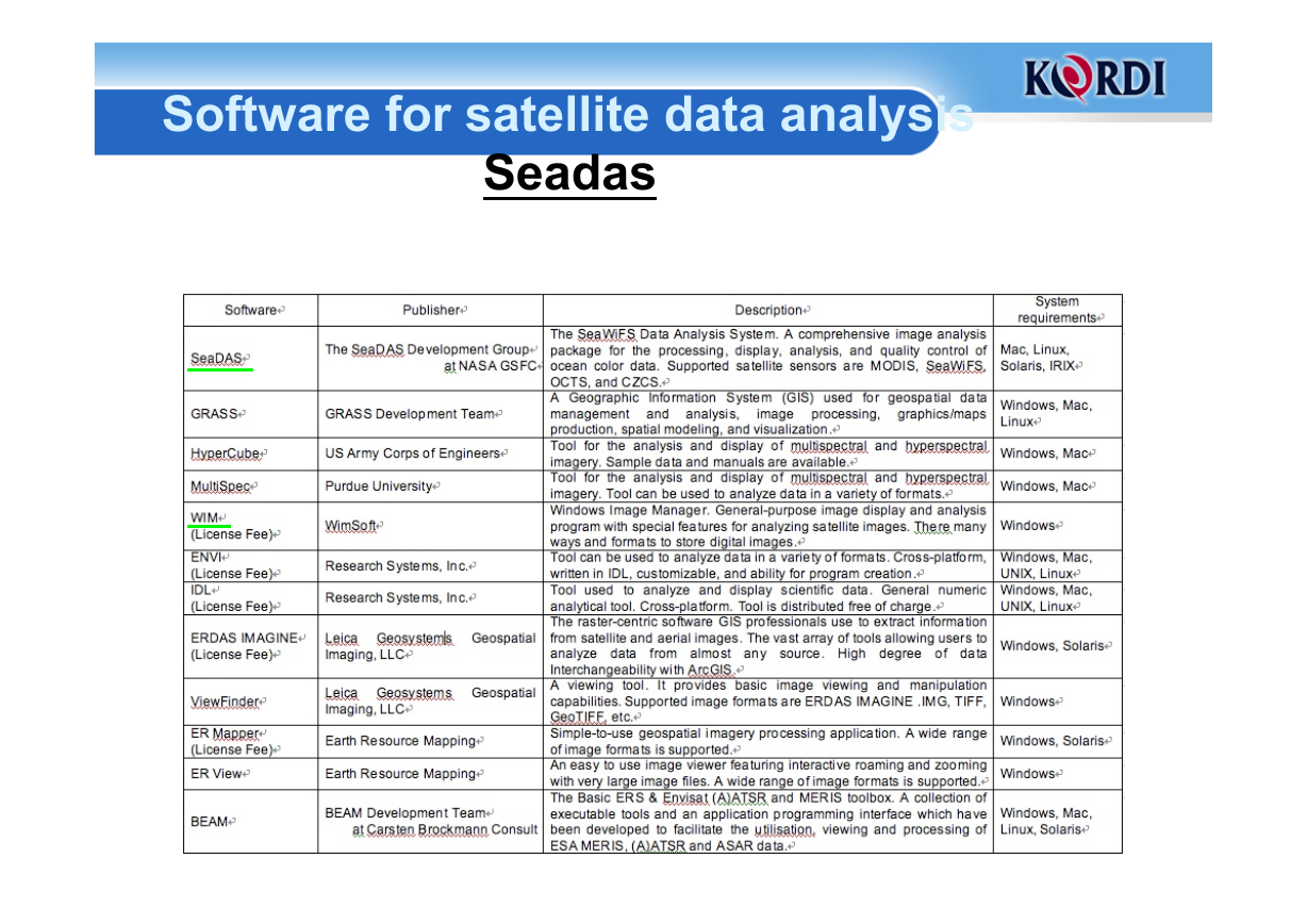
Software for satellite data analysis
Seadas
�
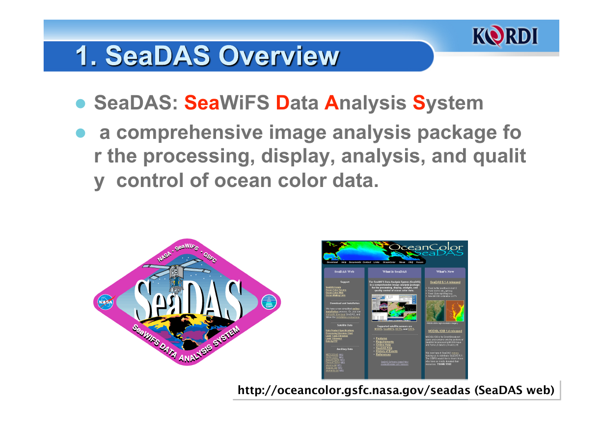
SeaDAS: SeaWiFS Data Analysis System
a comprehensive image analysis package fo
r the processing, display, analysis, and qualit
y control of ocean color data.
http://oceancolor.gsfc.nasa.gov/seadas (SeaDAS web)
4
�
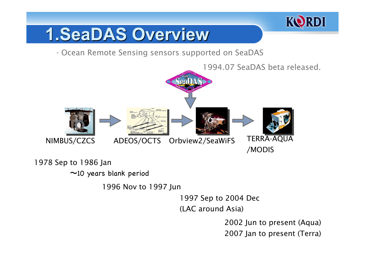
- Ocean Remote Sensing sensors supported on SeaDAS
1994.07 SeaDAS beta released.
NIMBUS/CZCS
ADEOS/OCTS Orbview2/SeaWiFS
TERRA-AQUA
/MODIS
1978 Sep to 1986 Jan
〜10 years blank period!
1996 Nov to 1997 Jun
1997 Sep to 2004 Dec
(LAC around Asia)
2002 Jun to present (Aqua)
2007 Jan to present (Terra)
�
Ocen Remote Sensing Sensors can generated on SeaD
• L1A, L1B, L2, L3, SMI, Browse image data processing
• L1A -> L0 reverse data processing
• L1A, L1B, L2, L3, SMI, Browse image
AS
– SeaWiFS
– MODIS
– CZCS
• L1A, L1B, L2, L3, SMI
– OCTS
• L1A, L1B, L2, L3, SMI
6
�
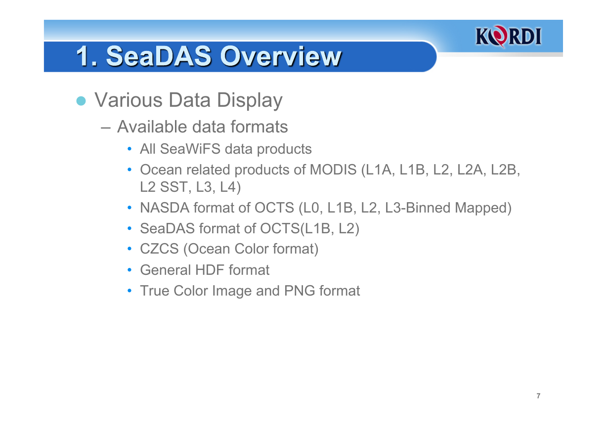
Various Data Display
– Available data formats
• All SeaWiFS data products
• Ocean related products of MODIS (L1A, L1B, L2, L2A, L2B,
L2 SST, L3, L4)
• NASDA format of OCTS (L0, L1B, L2, L3-Binned Mapped)
• SeaDAS format of OCTS(L1B, L2)
• CZCS (Ocean Color format)
• General HDF format
• True Color Image and PNG format
7
�
– General Functions
slicing
• User-controlled display scaling
• Multiple frame buffers for image display
• Interactive annotation generation
• Histogram and color bar
• Color manipulation, multiple concurrent color tables, density
• Cursor location and data displaying
• Image data spreadsheet for raw and/or geophysical values
• Image looping/movie
• Scatter plot/contour plot/profile plot
• Data display across multiple bands
• Bathymetry generation
• Arithmetic band functions
• X-Y shifting
• User-defined band operations
• Postscript, PNG output image formats.
• ASCII, HDF, and binary flat file output data formats.
8
�




 2023年江西萍乡中考道德与法治真题及答案.doc
 2012年重庆南川中考生物真题及答案.doc
 2013年江西师范大学地理学综合及文艺理论基础考研真题.doc
 2020年四川甘孜小升初语文真题及答案I卷.doc
 2020年注册岩土工程师专业基础考试真题及答案.doc
 2023-2024学年福建省厦门市九年级上学期数学月考试题及答案.doc
 2021-2022学年辽宁省沈阳市大东区九年级上学期语文期末试题及答案.doc
 2022-2023学年北京东城区初三第一学期物理期末试卷及答案.doc
 2018上半年江西教师资格初中地理学科知识与教学能力真题及答案.doc
 2012年河北国家公务员申论考试真题及答案-省级.doc
 2020-2021学年江苏省扬州市江都区邵樊片九年级上学期数学第一次质量检测试题及答案.doc
 2022下半年黑龙江教师资格证中学综合素质真题及答案.doc