logo资料库

麦哲伦 GPS导航设备-eXplorist 510说明书.pdf

第1页 / 共51页
第2页 / 共51页
第3页 / 共51页
第4页 / 共51页
第5页 / 共51页
第6页 / 共51页
第7页 / 共51页
第8页 / 共51页
资料共51页,剩余部分请下载后查看
Using the Magellan eXplorist
Installing the Batteries
Replacing the Batteries
Setting the Battery Type
Powering the Magellan eXplorist
Turning the Receiver On
Turning Receiver Off
Conserving Power
Setting Active Suspend Timer
Setting Power OFF Timer
Setting Backlight Brightness
Setting Backlight Timer
Installing micro SD Card
Magellan eXplorist Menus
Four Corner Menu
Accessing the Four Corner Menu
Dashboard
Accessing the Dashboard
OneTouch Menu
Accessing the OneTouch Menu
Main Menu
Accessing the Main Menu
Options Menu
Accessing the Map Options Menu
Moving Around the eXplorist
Using the Back Button
Scrolling Menu Lists
Scrolling Options Menus
Scrolling Lists
Entering Text and Numeric Data
Map Screen
Map Screen Overview
Changing Zoom Levels
Setting the Number of Data Fields
Customizing the Data Fields
Displaying a Compass on the Map Screen
Navigation Lines
Hiding/Showing Active Track
Clearing Active Track
Starting a New Track
Viewing Track Summary
Viewing an Overview of the Active Track
Backtrack
Creating a Backtrack Route
Pan Mode
Accessing Pan Mode
Creating a Waypoint in Pan Mode
Creating a Route in Pan Mode
Maps
Accessing Loaded Maps
Dashboard Screens
Displaying the Dashboard Screen
Changing the Dashboard Screen
Compass Screen
Customizing the Compass Graphic
Road Screen
Strip Compass Screen
Satellite Status Screen
Barometer Screen
Altimeter Screen
Dashboard Screen
Data Only Screen
Profile Screen
Customizing Data Fields
Setting the Number of Fields Displayed
Changing Displayed Data
OneTouch® Menu
Basics of the OneTouch Menu
Accessing the OneTouch Menu
Assigning a Location as a Destination
Assigning a Commonly Used Function
Assigning a Search
Preloaded OneTouch Buttons
Setting a Route to Home, Camp or Car
Reassigning Your Current Location to Home, Camp or Car.
Accessing Saved OneTouch Buttons
Creating a Route to a Saved Location
Accessing a Saved Search
Accessing a Saved Function
Editing a OneTouch Button
Editing the Name or Reassigning the Button
Deleting an Assigned Button
Waypoints
Accessing the Waypoint List
Sorting the Waypoint List
Searching for a Saved Waypoint
Go to a Waypoint on the Waypoint List
Editing a Saved Waypoint
Go to a Waypoint from the Waypoint Description
Viewing the Waypoint on the Map
Go to a Waypoint While Viewing on the Map
Marking a Waypoint as a Favorite
Waypoints and the Map Screen
Creating a Waypoint while Panning
Saving Your Current Location as a Waypoint
Waypoint Projection
Projecting a Waypoint
Geocaches
Installing Geocaches (Send to GPS)
Installing Geocaches with ‘Send to GPS’ (List Page)
Installing Geocaches with ‘Send to GPS’ (Detail Page)
The Magellan Communicator
Direct installation of the Magellan Communicator from www.magellangps.com
Installing Geocaches (Drag n Drop)
Installing Geocaches with Drag ‘n Drop
Geocache List
Accessing the Geocache List
Sorting the Geocache List
Searching for a Saved Geocache
Go to a Geocache on the Geocache List
Editing a Stored Geocache
Adding/Editing/Deleting a Field Note
Go to a Geocache from the Geocache Description
Viewing the Geocache on the Map
Go to a Geocache While Viewing on the Map
Marking a Geocache as a Favorite
Adding a Geocache
Saving Your Current Location as a Geocache Waypoint
Geocache Summary
Accessing the Geocache Summary
Points of Interest (POI)
Accessing POIs
Finding a POI by Category
Finding a POI Using Search by Name
Creating a Route to a POI
Viewing POI Details
Media
The Media Menu
Accessing the Media Menu
Taking a Photo
Recording a Sound Clip
Recording a Video
Viewing Saved Photographs
Deleting a Saved Photograph
Viewing a Slide Show of All Photographs
Accessing Saved Voice Memos
Deleting a Saved Voice Memo
Viewing Saved Videos
Deleting a Saved Video
Camera Settings
Modify Settings for Photos
Modify Settings for Videos
Modify Settings for Recordings
eXplorist Tools
The Tools Menu
Accessing the Tools Menu
Settings
Accessing Receiver Settings
Profiles
Setting Profiles
Choosing a Profile
Resetting All Profiles
Track Summary
Viewing Track Summary
Geocache Summary
Viewing Geocache Summary
Waypoint Projection
Projecting a Waypoint
Best Fishing & Hunting Times
Using Best Fishing & Hunting Times
Sun & Moon Rising and Setting Times
Using Sun & Moon Times
Geofencing
Setting Up Geofencing
Alarm Clocks
Setting the Alarm Clock
Help
Accessing Help Files
Play Product Demo
Accessing the Product Demo
Stopping the Product Demo
Screen Capture
Activating Screen Capture
Owner Information
Setting Owner Information
Settings
The Settings Menu
Accessing the Settings Menu
Settings
Brightness and Volume
Adjusting Brightness
Setting the Backlight Timer
Adjusting Volume
Muting the Volume
Setting Alerts to Vibrate
Turning Button Sounds On/Off
Power
Setting Active Suspend Timer
Setting Power Off Timer
Selecting Battery Type
Date and Time
Selecting the Date Format
Selecting the Time Format
Selecting the Calendar Format
Selecting the Time Zone (Auto or Manual)
Map Options
Setting Map View (2D or 3D)
Setting Map Orientation
Setting the Number of Map Fields
Defining Quick Info Details
Toggling Position Destination Lines (On/Off)
Toggling Origin Destination Lines (On/Off)
Toggling Track Lines (On/Off)
Setting Map Detail Level
Toggling Topo Lines (On/Off)
Setting Shaded Relief Level
Setting Geocache Waypoints Display Criteria
Setting Waypoint Display Style
Toggling POI Waypoints (On/Off)
Selecting Current Location Icon
Toggling Auto Zoom (On/Off)
Toggling Media Points (On/Off)
Map Draw Mode
Units (Units of Measure)
Setting Distance Units of Measure
Setting Speed Units of Measure
Setting Elevation Units of Measure
Setting Area Units of Measure
Tracks
Setting Track Logging Mode
Sensors (eXplorist 610/710)
Toggling the Electronic Compass Sensor (On/Off)
Toggling the Barometer Sensor (On/Off)
Switching to GPS Compass
Calibrate Barometer/Altimeter (eXplorist 610/710)
Calibrating the Barometer/Altimeter
Alarms
Setting the Off Course Alarm
Toggling Arrival Alarm
Defining the Arrival Alarm
Setting the Waypoint Proximity Alarm
Night Mode
Setting Night Mode Use
Button Functions
Assigning Button Functions
Compass
Assigning Compass Graphic
Calibrating the Compass (eXplorist 610/710)
Background
Satellite
Viewing the Satellite Status Screen
GPS
Turning the GPS Receiver On/Off
Navigation
Setting Primary Coordinate System
Setting Primary Coordinate Type
Setting Primary Coordinate Accuracy
Setting Primary Coordinate Datum
Setting Secondary Coordinate System
Setting Secondary Coordinate Type
Setting Secondary Coordinate Accuracy
Setting Secondary Coordinate Datum
Selecting North Reference
Setting Altimeter Source
Memory
Use SD Card for External Storage
Clear Memory from Device
Clear Memory from SD Card
Restoring Factory Defaults
Formatting the SD Card
Connectivity
Setting Receiver Connectivity
Diagnostics
Running the Audio Test
Running the Video Test
Language
Selecting Language
Product Information
Viewing the Receiver Serial Number
Viewing the SW Version, EULA or Copyright Information
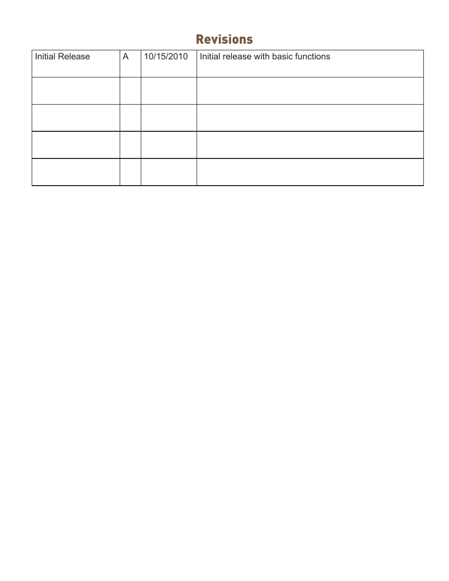
Initial Release A 10/15/2010 Revisions Initial release with basic functions
Safety Warnings The Magellan eXplorist is a navigation aid designed to assist you in arriving at your selected destination. When using the Magellan eXplorist, these safety rules must be followed to prevent accidents that can result in injury or death to yourself or others: IN THE INTERESTS OF SAFETY, DO NOT USE THIS NAVIGATION DEVICE WHILE DRIVING A VEHICLE. Please do not try to change any settings on the Magellan eXplorist while driving. Come to a complete stop or ask a passenger make any changes. Taking your eyes off the road is dangerous and can result in an accident in which you or others could be injured. USE GOOD JUDGEMENT This product is an excellent navigation aid, but does not replace the need for careful orienteering and good judgement. Never rely solely on one device for navigating. USE CARE The Global Positioning System (GPS) is operated by the U.S. Government, which is solely responsible for the accuracy and maintenance of the GPS network. The accuracy of position fixes can be affected by the periodic adjustments to GPS satellites made by the U.S. government and is subject to change in accordance with the Department of Defence civil GPS user policy and the Federal Radionavigation Plan. Accuracy can also be affected by poor satellite geometry and obstructions, like buildings and large trees. USE PROPER ACCESSORIES Use only Magellan cables and antennas; the use of non-Magellan cables and antennas may severely degrade performance or damage the receiver, and will void the warranty. No part of this guide may be reproduced or transmitted in any form or by any means, electronic or mechanical, including photocopying and recording, for any purpose other than the purchaser’s personal use without the prior written permission of MiTAC Digital Corporation. Federal Communication Commission Interference Statement This equipment has been tested and found to comply with the limits for a Class B digital device, pursuant to Part 15 of the FCC Rules. These limits are designed to provide reasonable protection against harmful interference in a residential installation. This equipment generates, uses and can radiate radio frequency energy and, if not installed and used in accordance with the instructions, may cause harmful interference to radio communications. However, there is no guarantee that interference will not occur in a particular installation. If this equipment does cause harmful interference to radio or television reception, which can be determined by turning the equipment off and on, the user is encouraged to try to correct the interference by one of the following measures: Increase the separation between the equipment and receiver. • Reorient or relocate the receiving antenna. • • Connect the equipment into an outlet on a circuit different from that to which the receiver is connected. • Consult the dealer or an experienced radio/TV technician for help. This device complies with Part 15 of the FCC Rules. Operation is subject to the following two conditions: (1) This device may not cause harmful interference, and (2) this device must accept any interference received, including interference that may cause undesired operation.
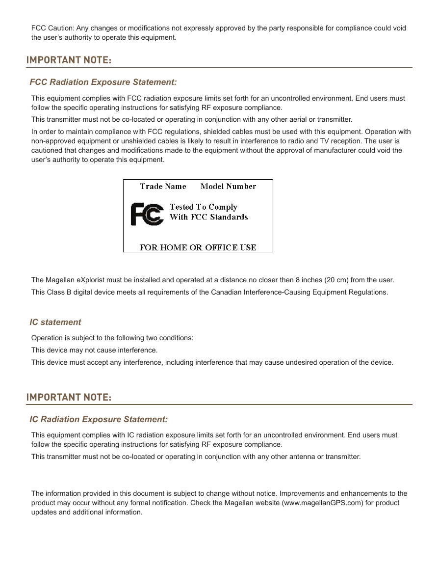
FCC Caution: Any changes or modifications not expressly approved by the party responsible for compliance could void the user’s authority to operate this equipment. IMPORTANT NOTE: FCC Radiation Exposure Statement: This equipment complies with FCC radiation exposure limits set forth for an uncontrolled environment. End users must follow the specific operating instructions for satisfying RF exposure compliance. This transmitter must not be co-located or operating in conjunction with any other aerial or transmitter. In order to maintain compliance with FCC regulations, shielded cables must be used with this equipment. Operation with non-approved equipment or unshielded cables is likely to result in interference to radio and TV reception. The user is cautioned that changes and modifications made to the equipment without the approval of manufacturer could void the user’s authority to operate this equipment. The Magellan eXplorist must be installed and operated at a distance no closer then 8 inches (20 cm) from the user. This Class B digital device meets all requirements of the Canadian Interference-Causing Equipment Regulations. IC statement Operation is subject to the following two conditions: This device may not cause interference. This device must accept any interference, including interference that may cause undesired operation of the device. IMPORTANT NOTE: IC Radiation Exposure Statement: This equipment complies with IC radiation exposure limits set forth for an uncontrolled environment. End users must follow the specific operating instructions for satisfying RF exposure compliance. This transmitter must not be co-located or operating in conjunction with any other antenna or transmitter. The information provided in this document is subject to change without notice. Improvements and enhancements to the product may occur without any formal notification. Check the Magellan website (www.magellanGPS.com) for product updates and additional information.
Maximum normal use temperature is 66°C. © 2010 MiTAC International Corporation. The Magellan logo, Magellan, eXplorist and OneTouch are registered trademarks of MiTAC International Corporation. 112-0012-001 A
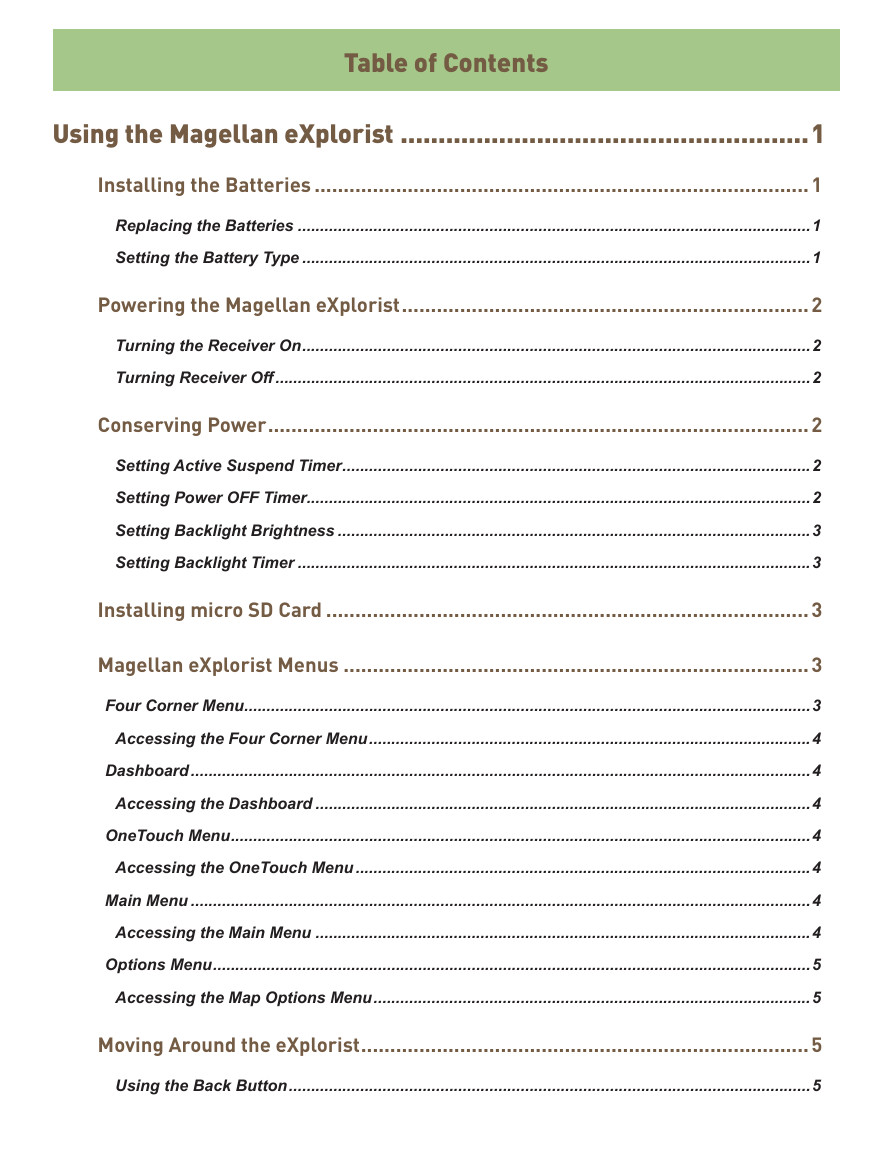
Table of Contents Using the Magellan eXplorist ......................................................1 Installing the Batteries .....................................................................................1 Replacing the Batteries ...................................................................................................................1 Setting the Battery Type ..................................................................................................................1 Powering the Magellan eXplorist ......................................................................2 Turning the Receiver On ..................................................................................................................2 Turning Receiver Off ........................................................................................................................2 Conserving Power .............................................................................................2 Setting Active Suspend Timer .........................................................................................................2 Setting Power OFF Timer.................................................................................................................2 Setting Backlight Brightness ..........................................................................................................3 Setting Backlight Timer ...................................................................................................................3 Installing micro SD Card ...................................................................................3 Magellan eXplorist Menus ................................................................................3 Four Corner Menu ...............................................................................................................................3 Accessing the Four Corner Menu ...................................................................................................4 Dashboard ...........................................................................................................................................4 Accessing the Dashboard ...............................................................................................................4 OneTouch Menu ..................................................................................................................................4 Accessing the OneTouch Menu ......................................................................................................4 Main Menu ...........................................................................................................................................4 Accessing the Main Menu ...............................................................................................................4 Options Menu ......................................................................................................................................5 Accessing the Map Options Menu ..................................................................................................5 Moving Around the eXplorist .............................................................................5 Using the Back Button .....................................................................................................................5
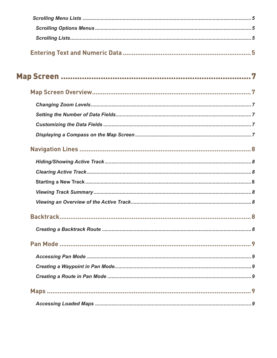
Scrolling Menu Lists ..........................................................................................................................5 Scrolling Options Menus .................................................................................................................5 Scrolling Lists ...................................................................................................................................5 Entering Text and Numeric Data .......................................................................5 Map Screen .................................................................................7 Map Screen Overview ........................................................................................7 Changing Zoom Levels ....................................................................................................................7 Setting the Number of Data Fields ..................................................................................................7 Customizing the Data Fields ...........................................................................................................7 Displaying a Compass on the Map Screen ....................................................................................7 Navigation Lines ...............................................................................................8 Hiding/Showing Active Track ..........................................................................................................8 Clearing Active Track .......................................................................................................................8 Starting a New Track ........................................................................................................................8 Viewing Track Summary ..................................................................................................................8 Viewing an Overview of the Active Track .......................................................................................8 Backtrack ..........................................................................................................8 Creating a Backtrack Route ............................................................................................................8 Pan Mode ..........................................................................................................9 Accessing Pan Mode .......................................................................................................................9 Creating a Waypoint in Pan Mode ...................................................................................................9 Creating a Route in Pan Mode ........................................................................................................9 Maps .................................................................................................................9 Accessing Loaded Maps .................................................................................................................9
Dashboard Screens ...................................................................11 Displaying the Dashboard Screen ................................................................................................ 11 Changing the Dashboard Screen .................................................................................................. 11 Compass Screen .............................................................................................................................................. 11 Customizing the Compass Graphic .............................................................................................. 11 Road Screen ...................................................................................................................................................... 11 Strip Compass Screen ....................................................................................................................................12 Satellite Status Screen ...................................................................................................................................12 Barometer Screen ............................................................................................................................................12 Altimeter Screen ...............................................................................................................................................12 Dashboard Screen ...........................................................................................................................................13 Data Only Screen .............................................................................................................................................13 Profile Screen ....................................................................................................................................................13 Customizing Data Fields ................................................................................. 13 Setting the Number of Fields Displayed ......................................................................................13 Changing Displayed Data ..............................................................................................................13 OneTouch® Menu .......................................................................15 Basics of the OneTouch Menu .......................................................................... 15 Accessing the OneTouch Menu ....................................................................................................15 Assigning a Location as a Destination ........................................................................................15 Assigning a Commonly Used Function .......................................................................................15 Assigning a Search ........................................................................................................................15 Preloaded OneTouch Buttons .......................................................................... 16 Setting a Route to Home, Camp or Car ........................................................................................16 Reassigning Your Current Location to Home, Camp or Car. .....................................................16 Accessing Saved OneTouch Buttons ................................................................ 16 Creating a Route to a Saved Location ..........................................................................................16 Accessing a Saved Search ............................................................................................................16
分享到:
收藏