Owner’s Manual
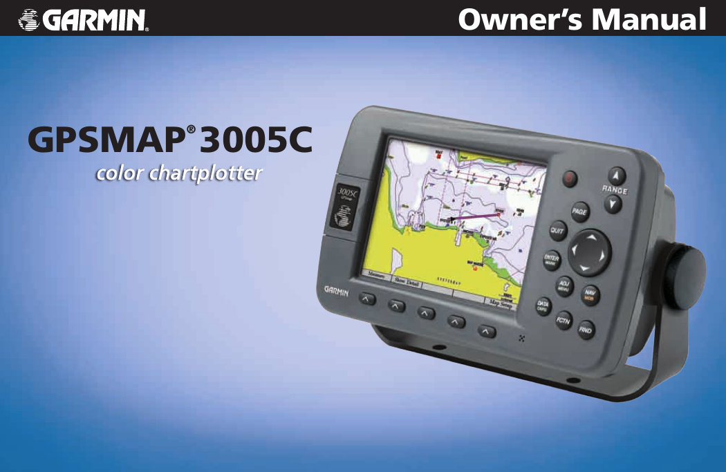
GPSMAP® 3005C
�
© Copyright 2005, 2007 Garmin Ltd. or its subsidiaries
Garmin International, Inc.
1200 East 151st Street,
Olathe, Kansas 66062, USA
Tel. (913) 397.8200 or (800) 800.1020
Fax (913) 397.8282
Garmin (Europe) Ltd.
Liberty House
Hounsdown Business Park,
Southampton, Hampshire, SO40 9RB UK
Tel. +44 (0) 870.8501241 (outside the UK)
0808 2380000 (within the UK)
Fax +44 (0) 870.8501251
Garmin Corporation
No. 68, Jangshu 2nd Road,
Shijr, Taipei County, Taiwan
Tel. 886/2.2642.9199
Fax 886/2.2642.9099
All rights reserved. Except as expressly provided herein, no part of this manual may be reproduced, copied, transmitted, disseminated, downloaded or stored in any storage medium, for any
purpose without the express prior written consent of Garmin. Garmin hereby grants permission to download a single copy of this manual onto a hard drive or other electronic storage medium to
be viewed and to print one copy of this manual or of any revision hereto, provided that such electronic or printed copy of this manual must contain the complete text of this copyright notice and
provided further that any unauthorized commercial distribution of this manual or any revision hereto is strictly prohibited.
Information in this document is subject to change without notice. Garmin reserves the right to change or improve its products and to make changes in the content without obligation to notify any
person or organization of such changes or improvements. Visit the Garmin Web site (www.garmin.com) for current updates and supplemental information concerning the use and operation of this
and other Garmin products.
Garmin®, GPSMAP®, AutoLocate®, TracBack®, BlueChart®, BlueChart® g2™, MapSource®, See-Thru®, DynaColor™, and Ultrascroll™ are trademarks or registered
trademarks of Garmin Ltd. or its subsidiaries and may not be used without the express permission of Garmin.
September 2007
Part Number 190-00531-00 Rev. D
Printed in Taiwan
�
IntroductIon
Thank you for choosing the Garmin® GPSMAP® 3005C. The GPSMAP 3005C
uses the proven performance of Garmin GPS and full-featured mapping to create
an unsurpassed marine Multi-Function Display (MFD). Take a moment now to
compare the contents of this package with the packing list on the outside of the
box. If any pieces are missing, contact your Garmin dealer immediately.
Installing Your GPSMAP 3005C
To install the GPSMAP 3005C, refer to the GPSMAP 3005C & GPS 17
Installation Instructions. To complete the installation, you need the appropriate
fasteners, tools, and mounts listed in each section. Installation items not provided
by Garmin should be available at most marine dealers. If you experience
difficulty installing the unit, contact Garmin Product Support or an installation
professional in your area.
About This Manual
To get the most out of your new navigation system, read this manual and learn
the operating procedures for your unit in detail. This manual is organized into the
following sections:
The Introduction contains the Table of Contents, Product Registration, and the
Software License Agreement.
The Getting Started section provides a unit overview and information that
teaches you the basic working knowledge necessary to use the GPSMAP 3005C.
IntroductIon > About thIs MAnuAl
The Basic Operation section provides you with details and step-by-step
instructions for creating and using waypoints, navigating a route, and using the
FIND key.
The Main Pages section provides detailed explanations about each page in the
GPSMAP 3005C and step-by-step directions on using the pages.
The Main Menu section provides detailed explanations about the Main Menu
and how to use it to configure your unit.
The Using Sonar section provides instructions on using a Garmin GSD 20, GSD
21 (Serial), or GSD 22 (Ethernet) sounder with your chartplotter.
The XM WX Weather section provides instructions on using a GDL30/
GDL30A Marine Weather Satellite Receiver connected to your chartplotter.
The Using Radar section provides instructions on using a GMR 20/40, GMR
21/41 or GMR 404/406 radar with your chartplotter.
The Appendix contains specifications, regulatory information, unit care
information, optional accessories, and maintenance information. You can also find
warranty and FCC information in the Appendix.
An Index is provided at the end of the manual for reference.
GPSMAP 3005C Owner’s Manual
�
�
IntroductIon > tAble of contents
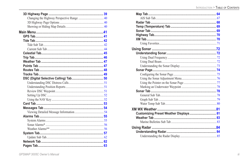
table of contents
Introduction ...........................................................................i
Installing Your GPSMAP 3005C ............................................... i
About This Manual ................................................................... i
Product Registration ............................................................... v
Contact Garmin ...............................................................................v
Software License Agreement ................................................. v
Warnings ................................................................................. iv
Important Information ............................................................ iv
Getting Started .....................................................................1
Unit Overview .......................................................................... 1
Using the GPSMAP 3005C Keypad ........................................ 2
Using Soft Keys ..............................................................................3
Status Bar ........................................................................................3
Turning on the GPSMAP 3005C ............................................. 4
Adjusting the Backlight ..................................................................4
Initializing the GPS Receiver .................................................. 5
Receiver Status and Accuracy ........................................................6
GPS Setup .......................................................................................6
Using Simulator Mode ............................................................ 7
Basic Operation ...................................................................8
Using the GPSMAP 3005C ...................................................... 8
Understanding the Features ............................................................8
Selecting Options and Entering Data ..............................................8
Using Additional Map Data ............................................................9
Using the Map Pointer ..................................................................10
Finding an Item ...................................................................... 11
Creating and Using Waypoints ............................................ 12
Creating Waypoints Using the ENTER/MARK Key ...................12
Creating Waypoints Using the Map ..............................................13
Creating Waypoints Manually ......................................................14
��
Reviewing and Editing Waypoints ....................................... 15
Moving a Waypoint ......................................................................16
Using Waypoint Lists....................................................................16
User Waypoints .............................................................................17
Proximity Waypoints ....................................................................18
Navigating to a Destination .................................................. 19
Selecting a Map Item Go To Destination......................................19
Follow Track and TracBack Navigation .......................................20
TracBack Tips ...............................................................................22
Man OverBoard (MOB) .......................................................... 22
Creating and Using Routes .................................................. 23
Creating a New Route ...................................................................23
Navigating a Saved Route ............................................................24
Creating a Quick NAV Route .......................................................25
Copying a Route ...........................................................................25
Deleting a Route ...........................................................................25
Editing a Route .............................................................................25
Planning Routes ............................................................................28
Main Pages .........................................................................29
Configuring Main Pages ....................................................... 30
Using Function Windows...................................................... 32
Function Window Adjustments ....................................................32
Viewing a Main Page in Full-Screen Mode ..................................33
Map Page ................................................................................ 33
Using the Map Pointer ..................................................................34
Selecting Map Ranges ..................................................................35
Cartography ..................................................................................35
Map Page Options ........................................................................36
Map Split Page ....................................................................... 38
Compass Page ....................................................................... 38
GPSMAP 3005C Owner’s Manual
�
3D Highway Page .................................................................. 39
Changing the Highway Perspective Range ..................................40
3D Highway Page Options ...........................................................40
Showing or Hiding Map Details ...................................................40
Main Menu ..........................................................................41
GPS Tab .................................................................................. 41
Tide Tab .................................................................................. 42
Tide Sub Tab .................................................................................42
Current Sub Tab ............................................................................44
Celestial Tab........................................................................... 45
Trip Tab ................................................................................... 46
Weather Tab ........................................................................... 47
Points Tab .............................................................................. 47
Routes Tab ............................................................................. 48
Tracks Tab .............................................................................. 49
DSC (Digital Selective Calling) Tab ...................................... 50
Understanding DSC Distress Calls ...............................................51
Understanding Position Reports ...................................................51
Review DSC Waypoint .................................................................51
Setting Up DSC ............................................................................52
Using the NAV Key ......................................................................52
Card Tab ................................................................................. 53
Messages Tab ........................................................................ 54
Viewing Detailed Message Information .......................................54
Alarms Tab ............................................................................. 55
System Alarms ..............................................................................55
Sonar Alarms* ..............................................................................56
Weather Alarms** ........................................................................56
System Tab............................................................................. 57
Update Sub Tab .............................................................................62
Network Tab ........................................................................... 62
Pages Tab ............................................................................... 63
GPSMAP 3005C Owner’s Manual
IntroductIon > tAble of contents
Map Tab .................................................................................. 64
AIS Sub Tab ..................................................................................67
Radar Tab ............................................................................... 68
Temp (Temperature) Tab ....................................................... 69
Sonar Tab ............................................................................... 69
Highway Tab........................................................................... 70
XM Tab .................................................................................... 70
Using Favorites .............................................................................71
Using Sonar .......................................................................72
Understanding Sonar ............................................................ 72
Using Dual Frequency ..................................................................72
Using Dual Beam ..........................................................................72
Understanding the Sonar Display .................................................73
Sonar Page ............................................................................. 74
Configuring the Sonar Page ..........................................................75
Using the Sonar Adjustment Menu ...............................................76
Using the Pointer on the Sonar Page ............................................77
Marking an Underwater Waypoint ...............................................78
Sonar Tab ............................................................................... 78
General Sub Tab............................................................................78
Graph Sub Tab ..............................................................................79
Water Temp Sub Tab .....................................................................80
XM WX Weather .................................................................81
Customizing Preset Weather Displays ................................ 81
Weather Tab ........................................................................... 83
Marine Bulletins Sub Tab .............................................................83
Using Radar .......................................................................84
Understanding Radar ............................................................ 84
Understanding the Radar Display .................................................85
���
�
IntroductIon > tAble of contents
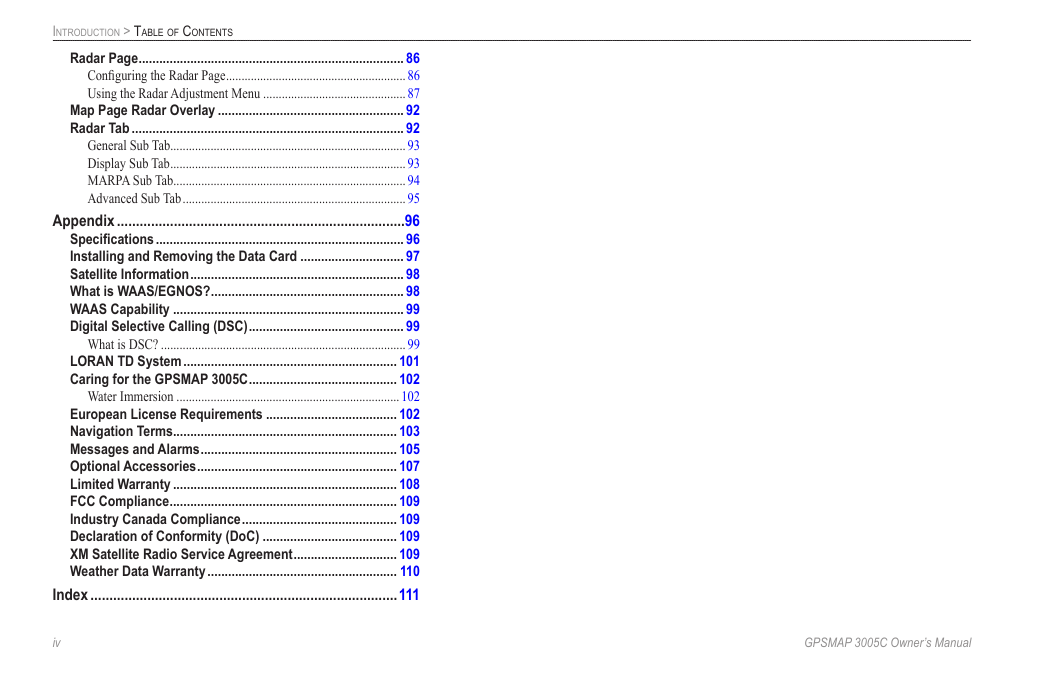
Radar Page ............................................................................. 86
Configuring the Radar Page ..........................................................86
Using the Radar Adjustment Menu ..............................................87
Map Page Radar Overlay ...................................................... 92
Radar Tab ............................................................................... 92
General Sub Tab............................................................................93
Display Sub Tab ............................................................................93
MARPA Sub Tab...........................................................................94
Advanced Sub Tab ........................................................................95
Appendix ............................................................................96
Specifications ........................................................................ 96
Installing and Removing the Data Card .............................. 97
Satellite Information .............................................................. 98
What is WAAS/EGNOS? ........................................................ 98
WAAS Capability ................................................................... 99
Digital Selective Calling (DSC) ............................................. 99
What is DSC? ...............................................................................99
LORAN TD System .............................................................. 101
Caring for the GPSMAP 3005C ........................................... 102
Water Immersion ........................................................................102
European License Requirements ...................................... 102
Navigation Terms................................................................. 103
Messages and Alarms ......................................................... 105
Optional Accessories .......................................................... 107
Limited Warranty ................................................................. 108
FCC Compliance .................................................................. 109
Industry Canada Compliance ............................................. 109
Declaration of Conformity (DoC) ....................................... 109
XM Satellite Radio Service Agreement .............................. 109
Weather Data Warranty ....................................................... 110
Index .................................................................................111
�v
GPSMAP 3005C Owner’s Manual
�
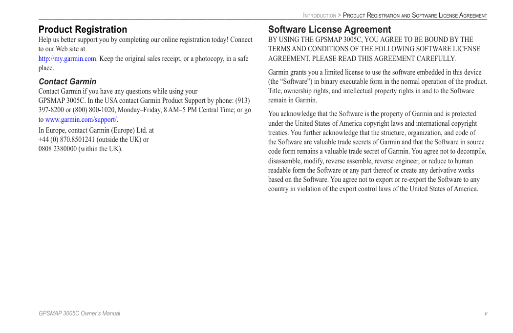
Product Registration
Help us better support you by completing our online registration today! Connect
to our Web site at
http://my.garmin.com. Keep the original sales receipt, or a photocopy, in a safe
place.
Contact Garmin
Contact Garmin if you have any questions while using your
GPSMAP 3005C. In the USA contact Garmin Product Support by phone: (913)
397-8200 or (800) 800-1020, Monday–Friday, 8 AM–5 PM Central Time; or go
to www.garmin.com/support/.
In Europe, contact Garmin (Europe) Ltd. at
+44 (0) 870.8501241 (outside the UK) or
0808 2380000 (within the UK).
IntroductIon > Product regIstrAtIon And softwAre lIcense AgreeMent
Software License Agreement
BY USING THE GPSMAP 3005C, YOU AGREE TO BE BOUND BY THE
TERMS AND CONDITIONS OF THE FOLLOWING SOFTWARE LICENSE
AGREEMENT. PLEASE READ THIS AGREEMENT CAREFULLY.
Garmin grants you a limited license to use the software embedded in this device
(the “Software”) in binary executable form in the normal operation of the product.
Title, ownership rights, and intellectual property rights in and to the Software
remain in Garmin.
You acknowledge that the Software is the property of Garmin and is protected
under the United States of America copyright laws and international copyright
treaties. You further acknowledge that the structure, organization, and code of
the Software are valuable trade secrets of Garmin and that the Software in source
code form remains a valuable trade secret of Garmin. You agree not to decompile,
disassemble, modify, reverse assemble, reverse engineer, or reduce to human
readable form the Software or any part thereof or create any derivative works
based on the Software. You agree not to export or re-export the Software to any
country in violation of the export control laws of the United States of America.
GPSMAP 3005C Owner’s Manual
v
�
IntroductIon > wArnIngs And IMPortAnt InforMAtIon
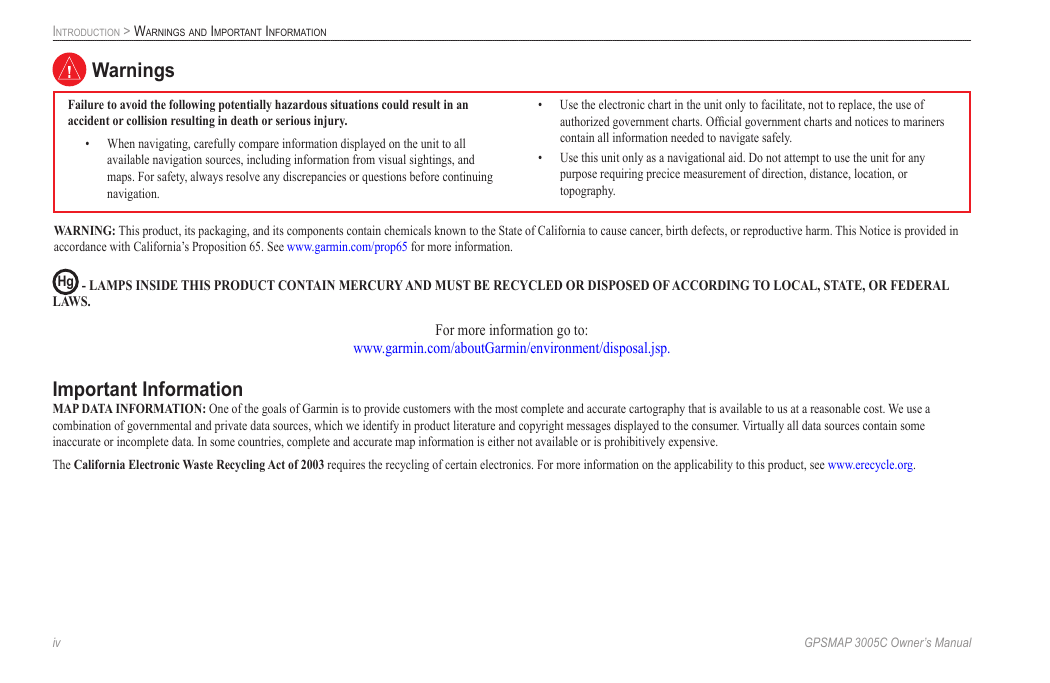
Warnings
Failure to avoid the following potentially hazardous situations could result in an
accident or collision resulting in death or serious injury.
• When navigating, carefully compare information displayed on the unit to all
available navigation sources, including information from visual sightings, and
maps. For safety, always resolve any discrepancies or questions before continuing
navigation.
• Use the electronic chart in the unit only to facilitate, not to replace, the use of
authorized government charts. Official government charts and notices to mariners
contain all information needed to navigate safely.
• Use this unit only as a navigational aid. Do not attempt to use the unit for any
purpose requiring precice measurement of direction, distance, location, or
topography.
WARNING: This product, its packaging, and its components contain chemicals known to the State of California to cause cancer, birth defects, or reproductive harm. This Notice is provided in
accordance with California’s Proposition 65. See www.garmin.com/prop65 for more information.
Hg - lAMPS INSIDE ThIS PRODUCT CONTAIN MERCURy AND MUST BE RECyClED OR DISPOSED OF ACCORDING TO lOCAl, STATE, OR FEDERAl
lAWS.
For more information go to:
www.garmin.com/aboutGarmin/environment/disposal.jsp.
Important Information
MAP DATA INFORMATION: One of the goals of Garmin is to provide customers with the most complete and accurate cartography that is available to us at a reasonable cost. We use a
combination of governmental and private data sources, which we identify in product literature and copyright messages displayed to the consumer. Virtually all data sources contain some
inaccurate or incomplete data. In some countries, complete and accurate map information is either not available or is prohibitively expensive.
The California Electronic Waste Recycling Act of 2003 requires the recycling of certain electronics. For more information on the applicability to this product, see www.erecycle.org.
�v
GPSMAP 3005C Owner’s Manual
�


 2023年江西萍乡中考道德与法治真题及答案.doc
 2012年重庆南川中考生物真题及答案.doc
 2013年江西师范大学地理学综合及文艺理论基础考研真题.doc
 2020年四川甘孜小升初语文真题及答案I卷.doc
 2020年注册岩土工程师专业基础考试真题及答案.doc
 2023-2024学年福建省厦门市九年级上学期数学月考试题及答案.doc
 2021-2022学年辽宁省沈阳市大东区九年级上学期语文期末试题及答案.doc
 2022-2023学年北京东城区初三第一学期物理期末试卷及答案.doc
 2018上半年江西教师资格初中地理学科知识与教学能力真题及答案.doc
 2012年河北国家公务员申论考试真题及答案-省级.doc
 2020-2021学年江苏省扬州市江都区邵樊片九年级上学期数学第一次质量检测试题及答案.doc
 2022下半年黑龙江教师资格证中学综合素质真题及答案.doc