www.lowrance.com
Pub. 988-0156-081
®
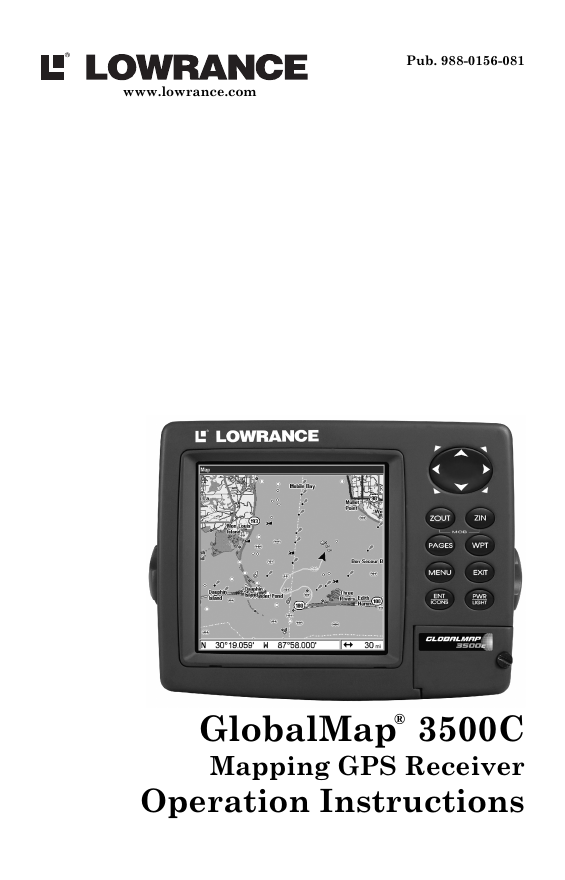
GlobalMap 3500C
Mapping GPS Receiver
Operation Instructions
�
Copyright © 2004 Lowrance Electronics, Inc.
All rights reserved.
No part of this manual may be copied, reproduced, republished,
transmitted or distributed for any purpose, without prior written
consent of Lowrance Electronics. Any unauthorized commercial
distribution of this manual is strictly prohibited.
Lowrance® and GlobalMap
3500C are registered trademarks of
Lowrance Electronics, Inc. MapCreate, FreedomMaps, IMS and
NauticPaths are trademarks of LEI. Fishing Hot Spots
is a
registered trademark of Fishing Hot Spots Inc. Navionics
is a
registered trademark of Navionics, Inc.
eXitSource Database, copyright 2001-2003 Zenrin Co.
Ltd. Exit Authority and eXitSource are trademarks of
Zenrin Co. Ltd.
Lowrance Electronics may find it necessary to change or end our
policies, regulations and special offers at any time. We reserve the right
to do so without notice. All features and specifications subject to change
without notice. All screens in this manual are simulated.
For free owner's manuals and the most current information on
this product, its operation and accessories,
visit our web site:
www.lowrance.com
Lowrance Electronics Inc.
12000 E. Skelly Dr.
Tulsa, OK USA 74128-2486
Printed in USA.
�
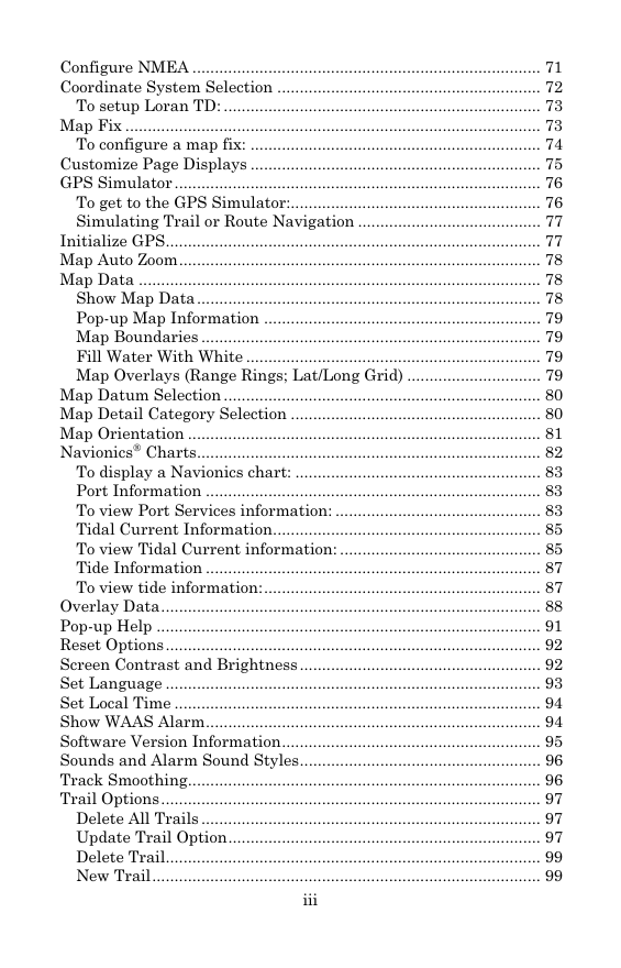
Table of Contents
Section 1: Read Me First!............................................................... 1
3500C ........................ 2
Capabilities and Specifications: GlobalMap
How Lowrance GPS Works ................................................................ 4
Introduction to GPS and WAAS......................................................... 6
How to use this manual: typographical conventions ........................ 8
Section 2: Installation & Accessories........................................ 11
Preparations...................................................................................... 11
GPS Antenna/Receiver Module........................................................ 11
Power Connections ........................................................................... 12
NMEA 0183 Cable Connections ....................................................... 15
NMEA Wiring................................................................................ 16
Mounting the Unit: Bracket, In-Dash or Portable .......................... 16
MMC or SD Card Memory Card Installation.................................. 20
Other Accessories ............................................................................. 21
Face Cover......................................................................................... 21
Section 3: Basic GPS Operations ............................................... 23
Keyboard ........................................................................................... 23
Power/lights on and off ..................................................................... 24
Main Menu ........................................................................................ 24
Pages ................................................................................................. 26
Satellite Status Page .................................................................... 26
Navigation Page ............................................................................ 28
Map Page ....................................................................................... 30
Background map vs. MapCreate map content............................. 31
Resize Window command ............................................................. 33
Basic GPS Quick Reference ........................................................ 36
Find Your Current Position ............................................................. 37
Moving Around the Map: Zoom & Cursor Arrow Keys................... 37
Selecting Any Map Item With the Cursor ....................................... 38
Searching .......................................................................................... 38
Set a Waypoint.................................................................................. 40
To create and save a Waypoint:.................................................... 40
Navigate to a Waypoint.................................................................... 42
Set Man Overboard (MOB) Waypoint ............................................. 43
Navigate Back to MOB Waypoint.................................................... 43
Navigate to Cursor Position on Map................................................ 44
Navigate to a Point of Interest......................................................... 45
Creating and Saving a Trail............................................................. 46
Displaying a Saved Trail .................................................................. 48
Navigating Trails.............................................................................. 48
Visual Trailing .............................................................................. 49
i
�
Navigate a Trail (forward)............................................................ 49
Navigate a Back Trail (backtrack, or reverse)............................. 51
Transfer Custom Maps and GPS Data Files ................................... 52
Custom Maps:................................................................................ 52
GPS Data files: .............................................................................. 52
Cancel Navigation ............................................................................ 54
Section 4: Advanced GPS Operations....................................... 55
Find Distance From Current Position to Another Location ........... 55
Find Distance From Point to Point .................................................. 55
Icons .................................................................................................. 56
Create Icon on Map ....................................................................... 56
Create Icon at Current Position ................................................... 56
Delete an Icon................................................................................ 56
Navigate to an Icon ....................................................................... 57
Routes................................................................................................ 57
Create and Save a Route .............................................................. 58
Delete a Route ............................................................................... 61
Edit a Route Name........................................................................ 61
Edit Route Waypoints ................................................................... 61
Navigate a Route........................................................................... 62
Navigate a Route in Reverse ........................................................ 62
Trails ................................................................................................. 63
Delete a Trail................................................................................. 63
Edit a Trail Name ......................................................................... 64
Edit a Trail Color .......................................................................... 64
Edit a Trail Pattern ...................................................................... 64
Utilities ............................................................................................. 65
Alarm Clock................................................................................... 65
Sun/Moon Rise & Set Calculator.................................................. 65
Trip Calculator .............................................................................. 65
Trip Down Timer........................................................................... 65
Trip Up Timer ............................................................................... 65
Waypoints ......................................................................................... 65
Delete a Waypoint......................................................................... 65
Edit a Waypoint ............................................................................ 66
Selecting a Waypoint .................................................................... 66
Set a Waypoint by Average Position ............................................ 66
Set a Waypoint by Projecting a Position...................................... 67
Section 5: System & GPS Setup Options .................................. 69
Alarms ............................................................................................... 69
Auto Satellite Search........................................................................ 70
Check MMC Files and Storage Space.............................................. 70
Communications Port Configuration ............................................... 71
ii
�
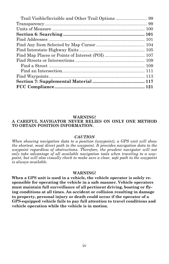
Configure NMEA .............................................................................. 71
Coordinate System Selection ........................................................... 72
To setup Loran TD: ....................................................................... 73
Map Fix ............................................................................................. 73
To configure a map fix: ................................................................. 74
Customize Page Displays ................................................................. 75
GPS Simulator .................................................................................. 76
To get to the GPS Simulator:........................................................ 76
Simulating Trail or Route Navigation ......................................... 77
Initialize GPS.................................................................................... 77
Map Auto Zoom................................................................................. 78
Map Data .......................................................................................... 78
Show Map Data ............................................................................. 78
Pop-up Map Information .............................................................. 79
Map Boundaries ............................................................................ 79
Fill Water With White .................................................................. 79
Map Overlays (Range Rings; Lat/Long Grid) .............................. 79
Map Datum Selection ....................................................................... 80
Map Detail Category Selection ........................................................ 80
Map Orientation ............................................................................... 81
Charts............................................................................. 82
Navionics
To display a Navionics chart: ....................................................... 83
Port Information ........................................................................... 83
To view Port Services information: .............................................. 83
Tidal Current Information............................................................ 85
To view Tidal Current information: ............................................. 85
Tide Information ........................................................................... 87
To view tide information:.............................................................. 87
Overlay Data..................................................................................... 88
Pop-up Help ...................................................................................... 91
Reset Options .................................................................................... 92
Screen Contrast and Brightness ...................................................... 92
Set Language .................................................................................... 93
Set Local Time .................................................................................. 94
Show WAAS Alarm........................................................................... 94
Software Version Information.......................................................... 95
Sounds and Alarm Sound Styles...................................................... 96
Track Smoothing............................................................................... 96
Trail Options ..................................................................................... 97
Delete All Trails ............................................................................ 97
Update Trail Option...................................................................... 97
Delete Trail.................................................................................... 99
New Trail....................................................................................... 99
iii
�
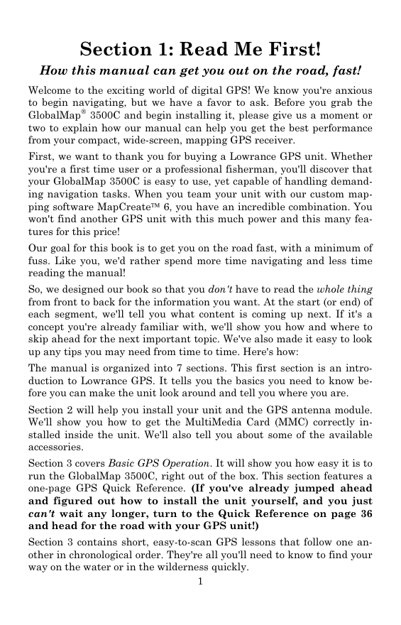
Trail Visible/Invisible and Other Trail Options .......................... 99
Transparency .................................................................................... 99
Units of Measure ............................................................................ 100
Section 6: Searching ................................................................... 101
Find Addresses ............................................................................... 101
Find Any Item Selected by Map Cursor ........................................ 104
Find Interstate Highway Exits ...................................................... 105
Find Map Places or Points of Interest (POI) ................................. 107
Find Streets or Intersections ......................................................... 109
Find a Street ............................................................................... 109
Find an Intersection.................................................................... 111
Find Waypoints............................................................................... 113
Section 7: Supplemental Material ........................................... 117
FCC Compliance.......................................................................... 121
A CAREFUL NAVIGATOR NEVER RELIES ON ONLY ONE METHOD
TO OBTAIN POSITION INFORMATION.
WARNING!
CAUTION
When showing navigation data to a position (waypoint), a GPS unit will show
the shortest, most direct path to the waypoint. It provides navigation data to the
waypoint regardless of obstructions. Therefore, the prudent navigator will not
only take advantage of all available navigation tools when traveling to a way-
point, but will also visually check to make sure a clear, safe path to the waypoint
is always available.
WARNING!
When a GPS unit is used in a vehicle, the vehicle operator is solely re-
sponsible for operating the vehicle in a safe manner. Vehicle operators
must maintain full surveillance of all pertinent driving, boating or fly-
ing conditions at all times. An accident or collision resulting in damage
to property, personal injury or death could occur if the operator of a
GPS-equipped vehicle fails to pay full attention to travel conditions and
vehicle operation while the vehicle is in motion.
iv
�
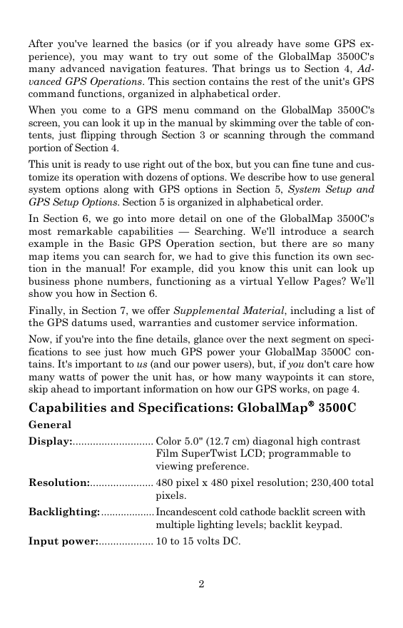
Section 1: Read Me First!
How this manual can get you out on the road, fast!
Welcome to the exciting world of digital GPS! We know you're anxious
to begin navigating, but we have a favor to ask. Before you grab the
GlobalMap
3500C and begin installing it, please give us a moment or
two to explain how our manual can help you get the best performance
from your compact, wide-screen, mapping GPS receiver.
First, we want to thank you for buying a Lowrance GPS unit. Whether
you're a first time user or a professional fisherman, you'll discover that
your GlobalMap 3500C is easy to use, yet capable of handling demand-
ing navigation tasks. When you team your unit with our custom map-
ping software MapCreate 6, you have an incredible combination. You
won't find another GPS unit with this much power and this many fea-
tures for this price!
Our goal for this book is to get you on the road fast, with a minimum of
fuss. Like you, we'd rather spend more time navigating and less time
reading the manual!
So, we designed our book so that you don't have to read the whole thing
from front to back for the information you want. At the start (or end) of
each segment, we'll tell you what content is coming up next. If it's a
concept you're already familiar with, we'll show you how and where to
skip ahead for the next important topic. We've also made it easy to look
up any tips you may need from time to time. Here's how:
The manual is organized into 7 sections. This first section is an intro-
duction to Lowrance GPS. It tells you the basics you need to know be-
fore you can make the unit look around and tell you where you are.
Section 2 will help you install your unit and the GPS antenna module.
We'll show you how to get the MultiMedia Card (MMC) correctly in-
stalled inside the unit. We'll also tell you about some of the available
accessories.
Section 3 covers Basic GPS Operation. It will show you how easy it is to
run the GlobalMap 3500C, right out of the box. This section features a
one-page GPS Quick Reference. (If you've already jumped ahead
and figured out how to install the unit yourself, and you just
can't wait any longer, turn to the Quick Reference on page 36
and head for the road with your GPS unit!)
Section 3 contains short, easy-to-scan GPS lessons that follow one an-
other in chronological order. They're all you'll need to know to find your
way on the water or in the wilderness quickly.
1
�
After you've learned the basics (or if you already have some GPS ex-
perience), you may want to try out some of the GlobalMap 3500C's
many advanced navigation features. That brings us to Section 4, Ad-
vanced GPS Operations. This section contains the rest of the unit's GPS
command functions, organized in alphabetical order.
When you come to a GPS menu command on the GlobalMap 3500C's
screen, you can look it up in the manual by skimming over the table of con-
tents, just flipping through Section 3 or scanning through the command
portion of Section 4.
This unit is ready to use right out of the box, but you can fine tune and cus-
tomize its operation with dozens of options. We describe how to use general
system options along with GPS options in Section 5, System Setup and
GPS Setup Options. Section 5 is organized in alphabetical order.
In Section 6, we go into more detail on one of the GlobalMap 3500C's
most remarkable capabilities — Searching. We'll introduce a search
example in the Basic GPS Operation section, but there are so many
map items you can search for, we had to give this function its own sec-
tion in the manual! For example, did you know this unit can look up
business phone numbers, functioning as a virtual Yellow Pages? We’ll
show you how in Section 6.
Finally, in Section 7, we offer Supplemental Material, including a list of
the GPS datums used, warranties and customer service information.
Now, if you're into the fine details, glance over the next segment on speci-
fications to see just how much GPS power your GlobalMap 3500C con-
tains. It's important to us (and our power users), but, if you don't care how
many watts of power the unit has, or how many waypoints it can store,
skip ahead to important information on how our GPS works, on page 4.
Capabilities and Specifications: GlobalMap
3500C
General
Display:............................ Color 5.0" (12.7 cm) diagonal high contrast
Film SuperTwist LCD; programmable to
viewing preference.
Resolution:...................... 480 pixel x 480 pixel resolution; 230,400 total
pixels.
Backlighting: ................... Incandescent cold cathode backlit screen with
multiple lighting levels; backlit keypad.
Input power:................... 10 to 15 volts DC.
2
�


 2023年江西萍乡中考道德与法治真题及答案.doc
 2012年重庆南川中考生物真题及答案.doc
 2013年江西师范大学地理学综合及文艺理论基础考研真题.doc
 2020年四川甘孜小升初语文真题及答案I卷.doc
 2020年注册岩土工程师专业基础考试真题及答案.doc
 2023-2024学年福建省厦门市九年级上学期数学月考试题及答案.doc
 2021-2022学年辽宁省沈阳市大东区九年级上学期语文期末试题及答案.doc
 2022-2023学年北京东城区初三第一学期物理期末试卷及答案.doc
 2018上半年江西教师资格初中地理学科知识与教学能力真题及答案.doc
 2012年河北国家公务员申论考试真题及答案-省级.doc
 2020-2021学年江苏省扬州市江都区邵樊片九年级上学期数学第一次质量检测试题及答案.doc
 2022下半年黑龙江教师资格证中学综合素质真题及答案.doc