logo资料库

麦哲伦 GPS导航设备-eXplorist 600说明书.pdf

第1页 / 共123页
第2页 / 共123页
第3页 / 共123页
第4页 / 共123页
第5页 / 共123页
第6页 / 共123页
第7页 / 共123页
第8页 / 共123页
资料共123页,剩余部分请下载后查看
eXplorist 600 GPS Receiver
Warnings
Table of Contents
eXplorist 600
Features
Button Descriptions
Installing/Charging the Battery
Installing an Optional SD Card
Connecting to a Personal Computer
Using the eXplorist 600
Going to a Destination
Saving Your Position
Tracing Your Steps
Additional Features
Summary
Starting Up
Turning the eXplorist On
Turning the eXplorist Off
Changing the Display Backlight Intensity
Using the eXplorist for the First Time
Conclusion
Navigation Screens
Accessing the Navigation Screens
Map Screen
Map Screen Overview
Changing Map Scale
Map Screen Modes
Showing or Hiding Map Information
Customizing the Map Information
Displaying Street Information
Changing the Map Orientation
Changing the Primary Usage
Changing the Map Detail
Changing the Track Recording Intervals
Customizing the Display
Compass Screen
Compass Screen Overview
Customizing the Information Fields
Position Screen
Position Screen Overview
Resetting the Trip Odometer
Satellite Status Screen
Satellite Status Screen Overview
eXplorist 600 File Structure
Basic File Structure
File Structure Overview
Using the Filing System with POIs
Using the Filing System with Routes
Using the Filing System with Track Logs
Points of Interest
Marking Your Position
Quick Marking Your Position
Marking Your Position (Personalized)
Marking POIs for Locations Other Than Your Present Position
Marking a Position by Entering Coordinates
Marking a Position using the Map Cursor
Marking a Position from a Map Object
The POI Database
Searching for a User-Entered POI
Searching for a Preloaded POI using Nearest
Searching for a Preloaded POI using Alphabetical
Editing a User-Created POI
Deleting a User-Created POI
Viewing a User-Created POI on a Map Screen
Copying a Preloaded POI
Viewing a Preloaded POI on the Map Screen
Showing or Hiding a User-Entered POI on the Map Screen
Routes
GOTO Routes
Creating a GOTO Route
Creating a GOTO Route from the Map Cursor
Creating a GOTO Route to a Map Object
Multi-Leg Routes
Creating a Multi-Leg Route
Activating/Deactivating a Route
Changing the Destination Leg of an Active Route
Editing a Saved Route
Reversing a Route
Deleting a Route
Moving a Route
Copying a Route
Viewing a Route on the Map
Track Logs
Track Logs
Stopping and Resuming Active Track Logging
Starting a New Active Track Log
Saving an Active Track Log
Creating a BackTrack Route
Clearing the Active Track
Converting the Track Log to a Route
Viewing the Track Log on the Map
Working with Saved Track Logs
Following Saved Track Logs
Reversing a Saved Track Log
Moving a Saved Track Log
Copying a Saved Track Log
Weather
Weather Screen
Accessing the Weather Screen
Calibrating the Pressure Altimeter
Electronic Compass
Calibrating the Compass
Turning the Compass On/Off
Advanced Features
Using Area Calculation
Calculating an Area
Deleting All POIs from the Area Calculation List
Editing the POI List in Area Calculation
Computing Best Fish/Hunt Times
Accessing Fishing and Hunting Times
Changing the Position
Changing the Date
Displaying Sun and Moon Information
Accessing the Sun/Moon Function
Changing the Position
Changing the Date
Viewing the Veritcal Profile
Using the Simulator
Simulating on a Saved Route
Communicating with a Personal Computer
Connecting to a Personal Computer
Changing Modes
Working with Files on the Personal Computer
Magellan Geocache Manager
What is Geocaching?
What is the Magellan Geocache Manager?
How Do I Install the Magellan Geocache Manager?
Using the Magellan Geocache Manager
Magellan Geocache Manager Tools
Working with Geocache Files
Adding Other Downloaded Files to the List
Uploading to the Magellan eXplorist
Using the eXplorist with MapSend
What is MapSend?
Overview of Uploading Detail Maps from MapSend to the eXplorist
Transferring POIs, Routes, and Track Between MapSend and eXplorist
Transferring POIs, Routes, and Track to MapSend
Transferring Waypoints, Routes, and Track from MapSend
Preferences
Restarting the GPS
Using Active Setup
Changing the Default Folders
Selecting the Background or Detail Map
Setting the Map Units
Selecting Navigational Units of Measure
Selecting the North Reference
Selecting the Coordinate System
Selecting the Map Datum
Using the Power Management Tool
Setting the Power-Off Timer
Setting the Light Timer
Personalizing the eXplorist
Steps to Personalize your eXplorist
Selecting Languages
Selecting the Language for Your eXplorist
Clearing Memory
Clearing Active Track History
Clearing User-Entered POIs and Routes
Clearing Routes
Clearing Active Track, User-Entered POIs, and Routes
Resetting the eXplorist to Factory Defaults
Setting Alarms and Beeper
Setting the Beeper
Setting Alarms
Setting the Clock
Setting the Time & Format
Setting Daylight Savings Time
Specifications
Accessories
Contacting Magellan Support
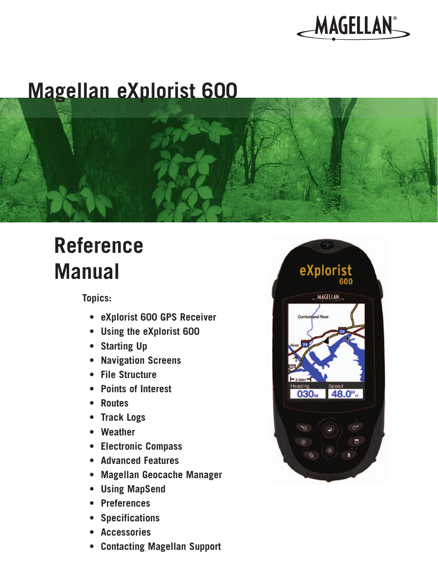
Magellan eXplorist 600 Reference Manual Topics: • eXplorist 600 GPS Receiver • Using the eXplorist 600 • Starting Up • Navigation Screens • File Structure • Points of Interest • Routes • Track Logs • Weather • Electronic Compass • Advanced Features • Magellan Geocache Manager • Using MapSend • Preferences • Specifications • Accessories • Contacting Magellan Support
*** Warnings *** IN THE INTEREST OF SAFETY, DO NOT USE THIS NAVIGATION DEVICE WHILE DRIVING A VEHICLE. Please do not try to change any settings on the Magellan® eXplorist™ while driving. Come to a complete stop or have a passenger make any changes. Taking your eyes off the road is dangerous and can result in an accident in which you or others could be injured. This product is an excellent navigation aid, but it does not replace the need for careful orienteering and good judgment. Never rely solely on one device for navigating. USE GOOD JUDGMENT USE CARE The Global Positioning System (GPS) is operated by the U.S. Government, which is solely responsible for the accuracy and maintenance of the GPS network. The accuracy of position fixes can be affected by the periodic adjustments to GPS satellites made by the U.S. government and is subject to change in accordance with the Department of Defense civil GPS user policy and the Federal Radionavigation Plan. Accuracy can also be affected by poor satellite geometry and obstructions, such as buildings and large trees. Use only Magellan cables and antennas; the use of non-Magellan cables and antennas may severely degrade performance or damage the receiver, and will void the warranty. USE PROPER ACCESSORIES LICENSE AGREEMENT Thales Navigation grants you, the purchaser, the right to use the software supplied in and with Thales Navigation GPS products (the “SOFTWARE”) in the normal operation of the equipment in accordance with the terms of the End User License Agreement that is included with the product. The SOFTWARE is the property of Thales Navigation and/or its suppliers and is protected by United States copyright laws and international treaty provisions; therefore, you must treat the SOFTWARE like any other copyright material. You may not use, copy, modify, reverse engineer or transfer this SOFTWARE except as expressly provided in the license. All rights not expressly granted are reserved by Thales Navigation and/or its suppliers. * * * No part of this guide may be reproduced or transmitted in any form or by any means, electronic or mechanical, including photocopying and recording, for any purpose other than the purchaser’s personal use without the prior written permission of Thales Navigation. * * * Operation is subject to the following two conditions: (1) this device may not cause interference, and (2) this device must accept any interference, including interference that may cause undesired operation of the device. © 2005 Thales S.A. All rights reserved. The Magellan Logo, Magellan, eXplorist and TrueFix are trademarks of Thales. 631209-01 A
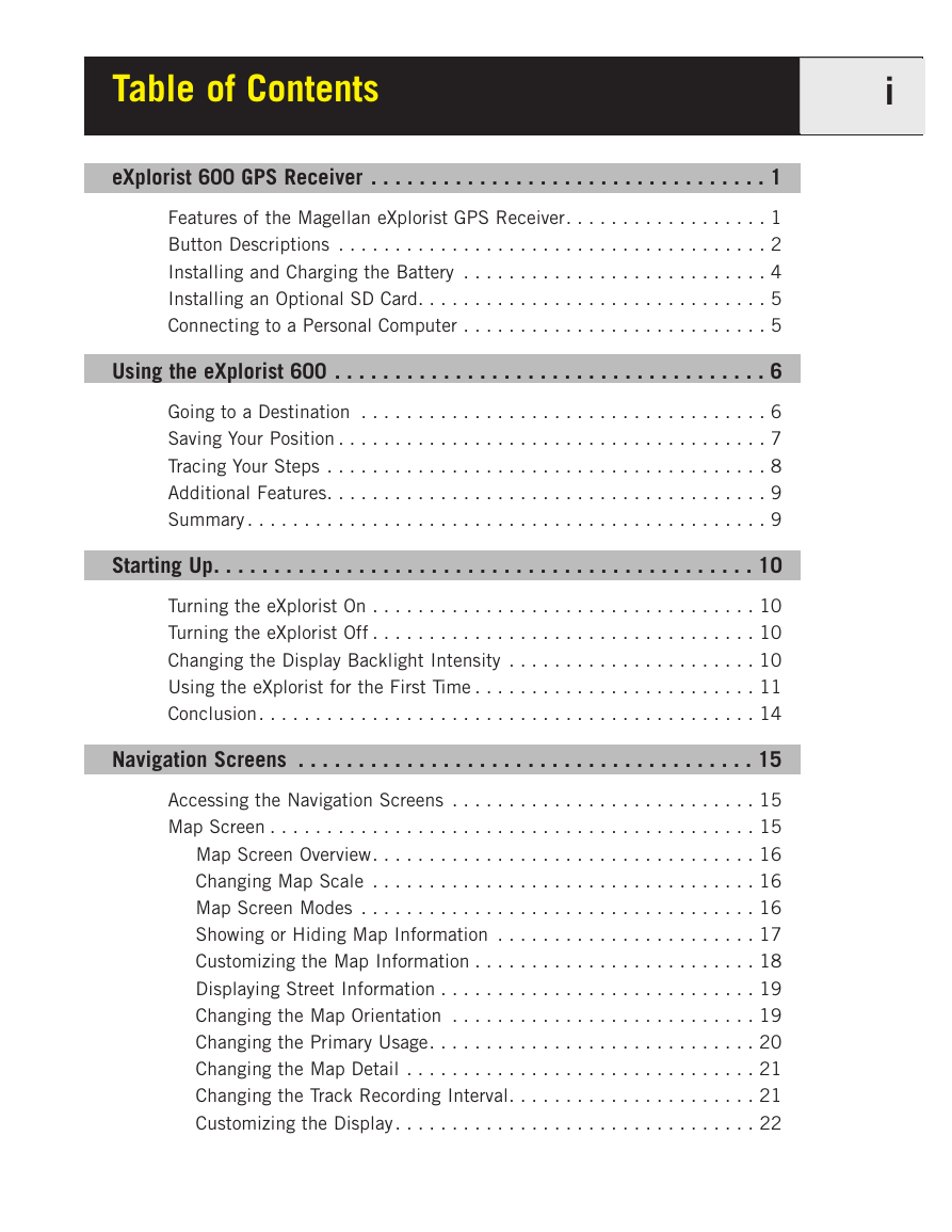
Table of Contents i eXplorist 600 GPS Receiver . . . . . . . . . . . . . . . . . . . . . . . . . . . . . . . . . 1 Features of the Magellan eXplorist GPS Receiver. . . . . . . . . . . . . . . . . . 1 Button Descriptions . . . . . . . . . . . . . . . . . . . . . . . . . . . . . . . . . . . . . . 2 Installing and Charging the Battery . . . . . . . . . . . . . . . . . . . . . . . . . . . 4 Installing an Optional SD Card. . . . . . . . . . . . . . . . . . . . . . . . . . . . . . . 5 Connecting to a Personal Computer . . . . . . . . . . . . . . . . . . . . . . . . . . . 5 Using the eXplorist 600 . . . . . . . . . . . . . . . . . . . . . . . . . . . . . . . . . . . . 6 Going to a Destination . . . . . . . . . . . . . . . . . . . . . . . . . . . . . . . . . . . . 6 Saving Your Position . . . . . . . . . . . . . . . . . . . . . . . . . . . . . . . . . . . . . . 7 Tracing Your Steps . . . . . . . . . . . . . . . . . . . . . . . . . . . . . . . . . . . . . . . 8 Additional Features. . . . . . . . . . . . . . . . . . . . . . . . . . . . . . . . . . . . . . . 9 Summary . . . . . . . . . . . . . . . . . . . . . . . . . . . . . . . . . . . . . . . . . . . . . . 9 Starting Up. . . . . . . . . . . . . . . . . . . . . . . . . . . . . . . . . . . . . . . . . . . . . 10 Turning the eXplorist On . . . . . . . . . . . . . . . . . . . . . . . . . . . . . . . . . . 10 Turning the eXplorist Off . . . . . . . . . . . . . . . . . . . . . . . . . . . . . . . . . . 10 Changing the Display Backlight Intensity . . . . . . . . . . . . . . . . . . . . . . 10 Using the eXplorist for the First Time . . . . . . . . . . . . . . . . . . . . . . . . . 11 Conclusion. . . . . . . . . . . . . . . . . . . . . . . . . . . . . . . . . . . . . . . . . . . . 14 Navigation Screens . . . . . . . . . . . . . . . . . . . . . . . . . . . . . . . . . . . . . . 15 Accessing the Navigation Screens . . . . . . . . . . . . . . . . . . . . . . . . . . . 15 Map Screen . . . . . . . . . . . . . . . . . . . . . . . . . . . . . . . . . . . . . . . . . . . 15 Map Screen Overview. . . . . . . . . . . . . . . . . . . . . . . . . . . . . . . . . . 16 Changing Map Scale . . . . . . . . . . . . . . . . . . . . . . . . . . . . . . . . . . 16 Map Screen Modes . . . . . . . . . . . . . . . . . . . . . . . . . . . . . . . . . . . 16 Showing or Hiding Map Information . . . . . . . . . . . . . . . . . . . . . . . 17 Customizing the Map Information . . . . . . . . . . . . . . . . . . . . . . . . . 18 Displaying Street Information . . . . . . . . . . . . . . . . . . . . . . . . . . . . 19 Changing the Map Orientation . . . . . . . . . . . . . . . . . . . . . . . . . . . 19 Changing the Primary Usage. . . . . . . . . . . . . . . . . . . . . . . . . . . . . 20 Changing the Map Detail . . . . . . . . . . . . . . . . . . . . . . . . . . . . . . . 21 Changing the Track Recording Interval. . . . . . . . . . . . . . . . . . . . . . 21 Customizing the Display . . . . . . . . . . . . . . . . . . . . . . . . . . . . . . . . 22
Table of Contents ii Compass Screen. . . . . . . . . . . . . . . . . . . . . . . . . . . . . . . . . . . . . . . . 23 Compass Screen Overview . . . . . . . . . . . . . . . . . . . . . . . . . . . . . . 23 Customizing the Information Fields . . . . . . . . . . . . . . . . . . . . . . . . 24 Position Screen . . . . . . . . . . . . . . . . . . . . . . . . . . . . . . . . . . . . . . . . 25 Position Screen Overview . . . . . . . . . . . . . . . . . . . . . . . . . . . . . . . 25 Resetting the Trip Odometer . . . . . . . . . . . . . . . . . . . . . . . . . . . . . 26 Satellite Status Screen . . . . . . . . . . . . . . . . . . . . . . . . . . . . . . . . . . . 27 Basic File Stucture . . . . . . . . . . . . . . . . . . . . . . . . . . . . . . . . . . . . . . . 28 File Structure Overview . . . . . . . . . . . . . . . . . . . . . . . . . . . . . . . . . . . 28 Using the Filing System with POIs . . . . . . . . . . . . . . . . . . . . . . . . . . . 29 Using the Filing System with Routes . . . . . . . . . . . . . . . . . . . . . . . . . 29 Using the Filing System with Track Logs. . . . . . . . . . . . . . . . . . . . . . . 30 Points of Interest . . . . . . . . . . . . . . . . . . . . . . . . . . . . . . . . . . . . . . . . 31 Marking Your Position . . . . . . . . . . . . . . . . . . . . . . . . . . . . . . . . . . . . 31 Quick-Marking Your Position. . . . . . . . . . . . . . . . . . . . . . . . . . . . . 31 Marking Your Position (Personalized). . . . . . . . . . . . . . . . . . . . . . . 32 Making POIs for Locations Other Than Your Present Position . . . . . . . . 33 Marking a Position by Entering Coordinates . . . . . . . . . . . . . . . . . . 33 Marking a Position using the Map Cursor. . . . . . . . . . . . . . . . . . . . 34 Marking a Position from a Map Object. . . . . . . . . . . . . . . . . . . . . . 34 The POI Database. . . . . . . . . . . . . . . . . . . . . . . . . . . . . . . . . . . . . . . 35 Searching for a User-Entered POI . . . . . . . . . . . . . . . . . . . . . . . . . 35 Searching for a Preloaded POI using Nearest . . . . . . . . . . . . . . . . . 36 Searching for a Preloaded POI using Alphabetical . . . . . . . . . . . . . 37 Editing a User-Created POI . . . . . . . . . . . . . . . . . . . . . . . . . . . . . . . . 38 Deleting a User-Created POI . . . . . . . . . . . . . . . . . . . . . . . . . . . . . . . 39 Viewing a User-Created POI on the Map Screen . . . . . . . . . . . . . . . . . 40 Copying a Preloaded POI. . . . . . . . . . . . . . . . . . . . . . . . . . . . . . . . . . 41 Viewing a Preloaded POI on the Map Screen. . . . . . . . . . . . . . . . . . . . 42 Showing or Hiding User-Entered POIs on the Map Screen . . . . . . . . . . 43
Table of Contents iii Routes . . . . . . . . . . . . . . . . . . . . . . . . . . . . . . . . . . . . . . . . . . . . . . . . 44 GOTO Routes . . . . . . . . . . . . . . . . . . . . . . . . . . . . . . . . . . . . . . . . . . 44 Creating a GOTO Route . . . . . . . . . . . . . . . . . . . . . . . . . . . . . . . . 45 Creating a GOTO Route from the Map Cursor . . . . . . . . . . . . . . . . . 46 Creating a GOTO Route to a Map Object . . . . . . . . . . . . . . . . . . . . 47 Multi-Leg Routes . . . . . . . . . . . . . . . . . . . . . . . . . . . . . . . . . . . . . . . 48 Creating a Multi-leg Route . . . . . . . . . . . . . . . . . . . . . . . . . . . . . . 49 Activating/Deactivating a Route. . . . . . . . . . . . . . . . . . . . . . . . . . . 50 Changing the Destination Leg of an Active Route . . . . . . . . . . . . . . 51 Editing a Saved Route . . . . . . . . . . . . . . . . . . . . . . . . . . . . . . . . . 52 Reversing a Route . . . . . . . . . . . . . . . . . . . . . . . . . . . . . . . . . . . . 53 Deleting a Route . . . . . . . . . . . . . . . . . . . . . . . . . . . . . . . . . . . . . 54 Moving a Route . . . . . . . . . . . . . . . . . . . . . . . . . . . . . . . . . . . . . . 55 Copying a Route . . . . . . . . . . . . . . . . . . . . . . . . . . . . . . . . . . . . . 56 Viewing a Route on the Map . . . . . . . . . . . . . . . . . . . . . . . . . . . . . 57 Track Logs . . . . . . . . . . . . . . . . . . . . . . . . . . . . . . . . . . . . . . . . . . . . . 58 Track Logs . . . . . . . . . . . . . . . . . . . . . . . . . . . . . . . . . . . . . . . . . . . . 58 Stopping and Resuming Active Track Logging . . . . . . . . . . . . . . . . 59 Starting a New Active Track Log . . . . . . . . . . . . . . . . . . . . . . . . . . 60 Saving an Active Track Log. . . . . . . . . . . . . . . . . . . . . . . . . . . . . . 61 Creating a BackTrack Route . . . . . . . . . . . . . . . . . . . . . . . . . . . . . 62 Clearing the Active Track . . . . . . . . . . . . . . . . . . . . . . . . . . . . . . . 63 Converting the Track Log to a Route . . . . . . . . . . . . . . . . . . . . . . . 64 Viewing the Track Log on the Map. . . . . . . . . . . . . . . . . . . . . . . . . 65 Working with Saved Track Logs . . . . . . . . . . . . . . . . . . . . . . . . . . . . . 66 Following Saved Track Logs . . . . . . . . . . . . . . . . . . . . . . . . . . . . . 66 Reversing a Saved Track Log . . . . . . . . . . . . . . . . . . . . . . . . . . . . 66 Deleting a Saved Track Log . . . . . . . . . . . . . . . . . . . . . . . . . . . . . 67 Moving a Saved Track Log . . . . . . . . . . . . . . . . . . . . . . . . . . . . . . 68 Copying a Saved Track Log . . . . . . . . . . . . . . . . . . . . . . . . . . . . . . 69 Weather . . . . . . . . . . . . . . . . . . . . . . . . . . . . . . . . . . . . . . . . . . . . . . . 70 Weather Screen . . . . . . . . . . . . . . . . . . . . . . . . . . . . . . . . . . . . . . . . 70 Accessing the Weather Screen . . . . . . . . . . . . . . . . . . . . . . . . . . . 70 Calibrating the Pressure Altimeter. . . . . . . . . . . . . . . . . . . . . . . . . 71
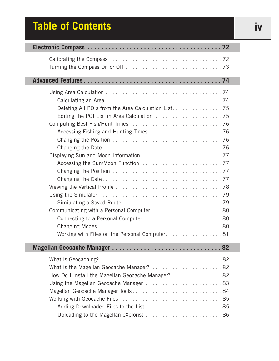
Table of Contents iv Electronic Compass . . . . . . . . . . . . . . . . . . . . . . . . . . . . . . . . . . . . . . 72 Calibrating the Compass . . . . . . . . . . . . . . . . . . . . . . . . . . . . . . . . . . 72 Turning the Compass On or Off . . . . . . . . . . . . . . . . . . . . . . . . . . . . . 73 Advanced Features . . . . . . . . . . . . . . . . . . . . . . . . . . . . . . . . . . . . . . . 74 Using Area Calculation . . . . . . . . . . . . . . . . . . . . . . . . . . . . . . . . . . . 74 Calculating an Area . . . . . . . . . . . . . . . . . . . . . . . . . . . . . . . . . . . 74 Deleting All POIs from the Area Calculation List. . . . . . . . . . . . . . . 75 Editing the POI List in Area Calculation . . . . . . . . . . . . . . . . . . . . 75 Computing Best Fish/Hunt Times . . . . . . . . . . . . . . . . . . . . . . . . . . . . 76 Accessing Fishing and Hunting Times . . . . . . . . . . . . . . . . . . . . . . 76 Changing the Position . . . . . . . . . . . . . . . . . . . . . . . . . . . . . . . . . 76 Changing the Date . . . . . . . . . . . . . . . . . . . . . . . . . . . . . . . . . . . . 76 Displaying Sun and Moon Information . . . . . . . . . . . . . . . . . . . . . . . . 77 Accessing the Sun/Moon Function . . . . . . . . . . . . . . . . . . . . . . . . 77 Changing the Position . . . . . . . . . . . . . . . . . . . . . . . . . . . . . . . . . 77 Changing the Date . . . . . . . . . . . . . . . . . . . . . . . . . . . . . . . . . . . . 77 Viewing the Vertical Profile . . . . . . . . . . . . . . . . . . . . . . . . . . . . . . . . 78 Using the Simulator . . . . . . . . . . . . . . . . . . . . . . . . . . . . . . . . . . . . . 79 Simiulating a Saved Route . . . . . . . . . . . . . . . . . . . . . . . . . . . . . . 79 Communicating with a Personal Computer . . . . . . . . . . . . . . . . . . . . . 80 Connecting to a Personal Computer. . . . . . . . . . . . . . . . . . . . . . . . 80 Changing Modes . . . . . . . . . . . . . . . . . . . . . . . . . . . . . . . . . . . . . 80 Working with Files on the Personal Computer. . . . . . . . . . . . . . . . . 81 Magellan Geocache Manager . . . . . . . . . . . . . . . . . . . . . . . . . . . . . . . 82 What is Geocaching?. . . . . . . . . . . . . . . . . . . . . . . . . . . . . . . . . . . . . 82 What is the Magellan Geocache Manager? . . . . . . . . . . . . . . . . . . . . . 82 How Do I Install the Magellan Geocache Manager? . . . . . . . . . . . . . . . 82 Using the Magellan Geocache Manager . . . . . . . . . . . . . . . . . . . . . . . 83 Magellan Geocache Manager Tools . . . . . . . . . . . . . . . . . . . . . . . . . . . 84 Working with Geocache Files . . . . . . . . . . . . . . . . . . . . . . . . . . . . . . . 85 Adding Downloaded Files to the List . . . . . . . . . . . . . . . . . . . . . . . 85 Uploading to the Magellan eXplorist . . . . . . . . . . . . . . . . . . . . . . . 86
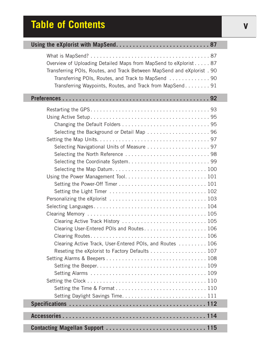
Table of Contents v Using the eXplorist with MapSend. . . . . . . . . . . . . . . . . . . . . . . . . . . . 87 What is MapSend? . . . . . . . . . . . . . . . . . . . . . . . . . . . . . . . . . . . . . . 87 Overview of Uploading Detailed Maps from MapSend to eXplorist . . . . . 87 Transferring POIs, Routes, and Track Between MapSend and eXplorist . 90 Transferring POIs, Routes, and Track to MapSend . . . . . . . . . . . . . 90 Transferring Waypoints, Routes, and Track from MapSend . . . . . . . . 91 Preferences . . . . . . . . . . . . . . . . . . . . . . . . . . . . . . . . . . . . . . . . . . . . 92 Restarting the GPS . . . . . . . . . . . . . . . . . . . . . . . . . . . . . . . . . . . . . . 93 Using Active Setup . . . . . . . . . . . . . . . . . . . . . . . . . . . . . . . . . . . . . . 95 Changing the Default Folders . . . . . . . . . . . . . . . . . . . . . . . . . . . . 95 Selecting the Background or Detail Map . . . . . . . . . . . . . . . . . . . . 96 Setting the Map Units. . . . . . . . . . . . . . . . . . . . . . . . . . . . . . . . . . . . 97 Selecting Navigational Units of Measure . . . . . . . . . . . . . . . . . . . . 97 Selecting the North Reference . . . . . . . . . . . . . . . . . . . . . . . . . . . 98 Selecting the Coordinate System. . . . . . . . . . . . . . . . . . . . . . . . . . 99 Selecting the Map Datum. . . . . . . . . . . . . . . . . . . . . . . . . . . . . . 100 Using the Power Management Tool. . . . . . . . . . . . . . . . . . . . . . . . . . 101 Setting the Power-Off Timer . . . . . . . . . . . . . . . . . . . . . . . . . . . . 101 Setting the Light Timer . . . . . . . . . . . . . . . . . . . . . . . . . . . . . . . 102 Personalizing the eXplorist . . . . . . . . . . . . . . . . . . . . . . . . . . . . . . . 103 Selecting Languages . . . . . . . . . . . . . . . . . . . . . . . . . . . . . . . . . . . . 104 Clearing Memory . . . . . . . . . . . . . . . . . . . . . . . . . . . . . . . . . . . . . . 105 Clearing Active Track History . . . . . . . . . . . . . . . . . . . . . . . . . . . 105 Clearing User-Entered POIs and Routes . . . . . . . . . . . . . . . . . . . . 106 Clearing Routes . . . . . . . . . . . . . . . . . . . . . . . . . . . . . . . . . . . . . 106 Clearing Active Track, User-Entered POIs, and Routes . . . . . . . . . 106 Reseting the eXplorist to Factory Defaults . . . . . . . . . . . . . . . . . . 107 Setting Alarms & Beepers . . . . . . . . . . . . . . . . . . . . . . . . . . . . . . . . 108 Setting the Beeper. . . . . . . . . . . . . . . . . . . . . . . . . . . . . . . . . . . 109 Setting Alarms . . . . . . . . . . . . . . . . . . . . . . . . . . . . . . . . . . . . . 109 Setting the Clock . . . . . . . . . . . . . . . . . . . . . . . . . . . . . . . . . . . . . . 110 Setting the Time & Format . . . . . . . . . . . . . . . . . . . . . . . . . . . . . 110 Setting Daylight Savings Time. . . . . . . . . . . . . . . . . . . . . . . . . . . 111 Specifications . . . . . . . . . . . . . . . . . . . . . . . . . . . . . . . . . . . . . . . . . 112 Accessories . . . . . . . . . . . . . . . . . . . . . . . . . . . . . . . . . . . . . . . . . . . 114 Contacting Magellan Support . . . . . . . . . . . . . . . . . . . . . . . . . . . . . . 115
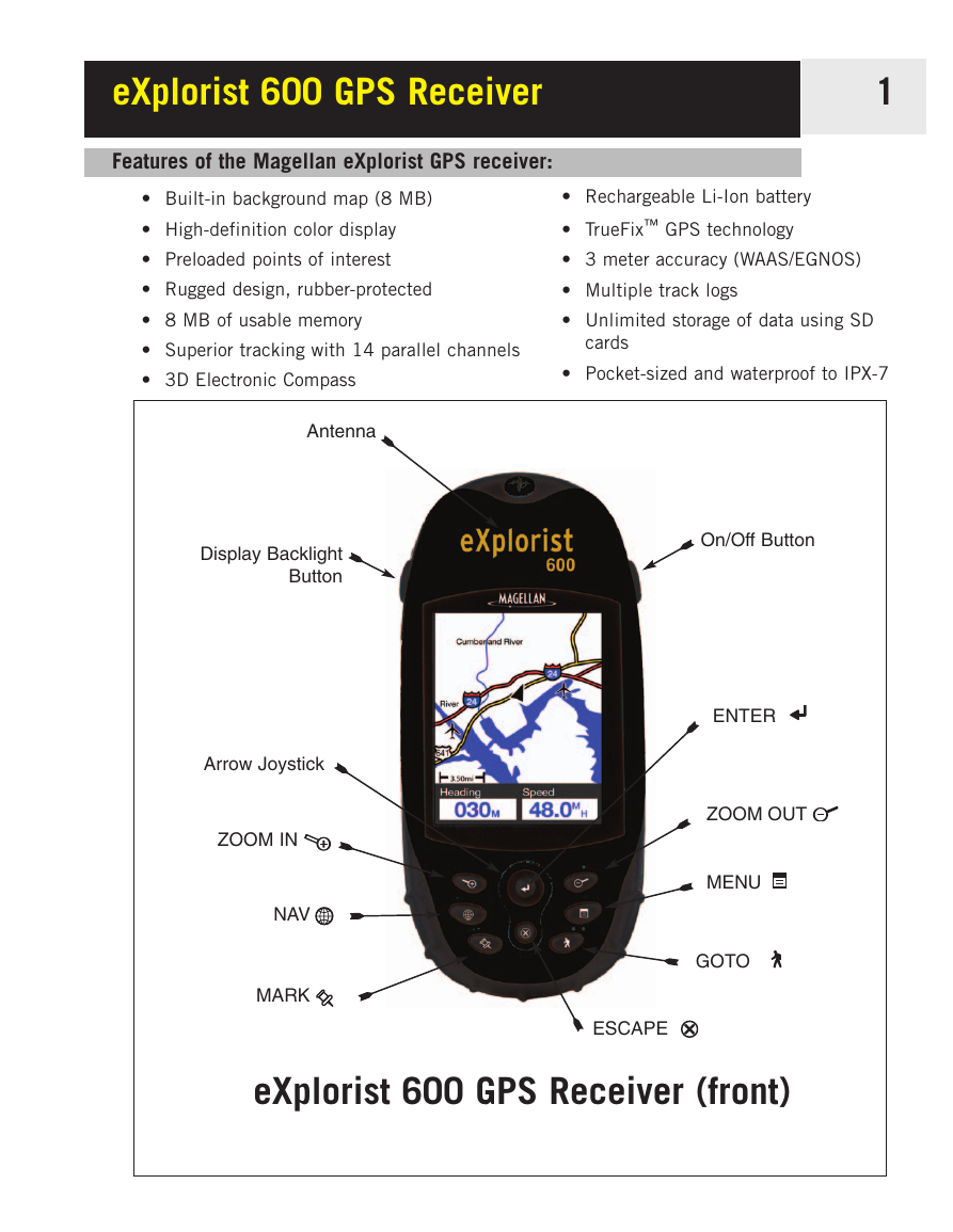
eXplorist 600 GPS Receiver 1 Features of the Magellan eXplorist GPS receiver: • Built-in background map (8 MB) • High-definition color display • Preloaded points of interest • Rugged design, rubber-protected • 8 MB of usable memory • Superior tracking with 14 parallel channels • 3D Electronic Compass • Rechargeable Li-Ion battery • TrueFix™ GPS technology • 3 meter accuracy (WAAS/EGNOS) • Multiple track logs • Unlimited storage of data using SD cards • Pocket-sized and waterproof to IPX-7 Antenna Display Backlight Button Arrow Joystick ZOOM IN NAV MARK On/Off Button ENTER ZOOM OUT MENU GOTO ESCAPE eXplorist 600 GPS Receiver (front)
分享到:
收藏